
Historic Site · Tulum, Mexico
Tulum Ruins
Tulum is the site of a pre-Columbian Mayan walled city which served as a major port for Coba, in the Mexican state of Quintana Ro.
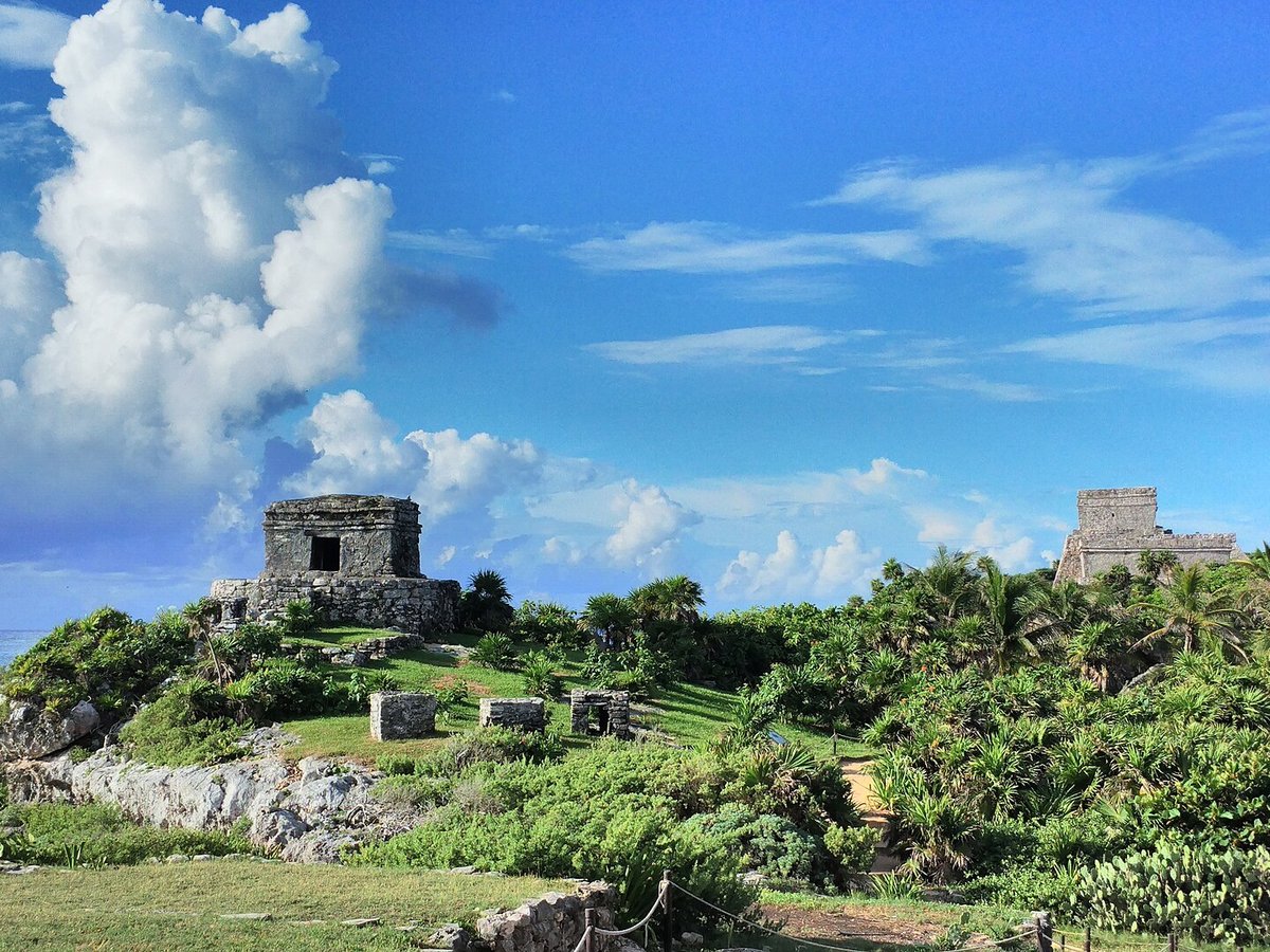
Photo: Popo le Chien via Wikimedia Commons, CC BY-SA 3.0. Cropped and resized for display.
Landmark facts
| Location | Tulum, Mexico |
|---|---|
| Type | Historic Site |
| Elevation | Elevation: 12 m |
| Coordinates | 20.2147° N, 87.4289° W |
Every fact above is taken from the sources listed below; anything no source states is left blank rather than guessed.
What Tulum Ruins is known for
Tulum is the site of a pre-Columbian Mayan walled city which served as a major port for Coba, in the Mexican state of Quintana Ro.
About Tulum Ruins
Tulum is the site of a pre-Columbian Mayan walled city which served as a major port for Coba, in the Mexican state of Quintana Roo. The ruins are situated on 12-meter-tall (39 ft) cliffs along the east coast of the Yucatán Peninsula on the Caribbean Sea. Tulum was one of the last cities built and inhabited by the Maya and achieved its greatest prominence between the 13th and 15th centuries.
History
History and description Map of central Tulum Tulum Ruins Main temple at Tulum, lithograph in 1844 by Frederick Catherwood. 1 View to the top of El Castillo The site might have been called Zama, meaning City of Dawn, because it faces the sunrise. Tulum stands on a bluff facing east toward the Caribbean Sea.
Planning a visit? Visit the official Tulum Ruins website — the official site has the current visiting information.
How to get there
| Nearest town | Tulum |
|---|---|
| Nearest airport | Cozumel International Airport (CZM) |
| Distance from the airport | 38.2 miles (straight line) |
Nearest major airport by straight-line distance from the landmark’s coordinates; road distance will be longer.
Airports near this landmark
The airports a visitor would actually fly into, nearest first — each link opens its profile on our sister site AirportProfiles.
- Felipe Carrillo Puerto International Airport Tulum (TQO) · Tulum, Mexico · 15.3 miles away
- Cozumel International Airport (CZM) · Cozumel, Mexico · 38.5 miles away
- Cancún International Airport (CUN) · Cancún, Mexico · 67.4 miles away
Landmarks nearby
The closest landmarks in this library, by straight-line distance.
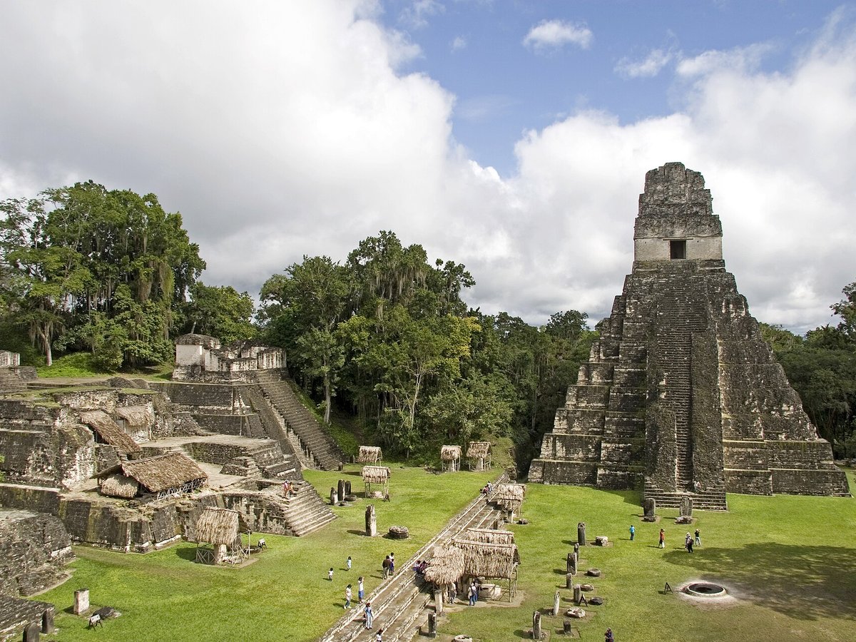
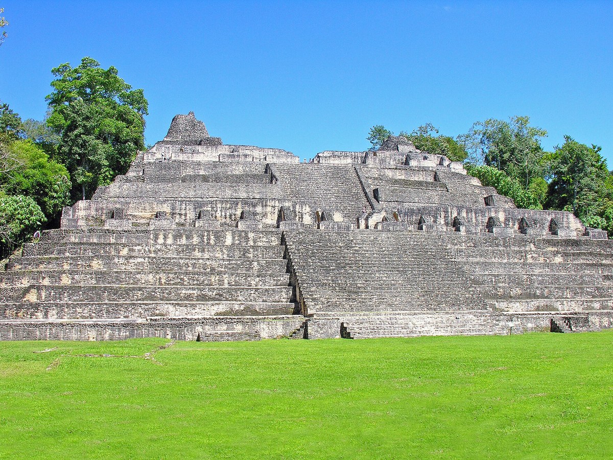
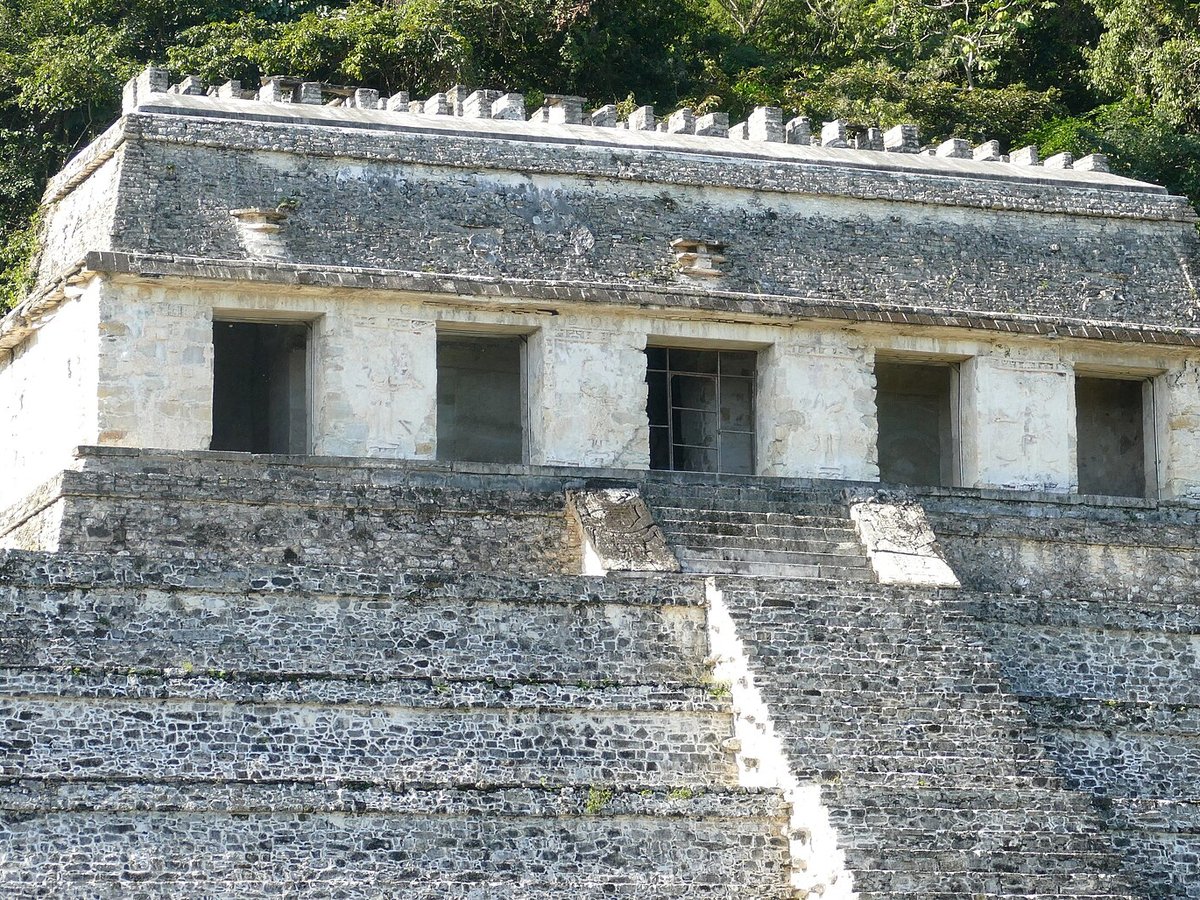
More landmarks in Mexico
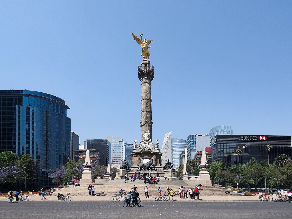
More historic sites





Frequently asked questions
What is Tulum Ruins?
Tulum is the site of a pre-Columbian Mayan walled city which served as a major port for Coba, in the Mexican state of Quintana Ro.
Where is Tulum Ruins located?
Tulum Ruins is in Tulum, Mexico. Its coordinates are 20.2147° N, 87.4289° W.
How do I get to Tulum Ruins?
The nearest town is Tulum, and the nearest airport is Cozumel International Airport (CZM), about 38.2 miles away (straight line).
What is the history of Tulum Ruins?
History and description Map of central Tulum Tulum Ruins Main temple at Tulum, lithograph in 1844 by Frederick Catherwood. 1 View to the top of El Castillo The site might have been called Zama, meaning City of Dawn, because it faces the sunrise.
Sources
- https://en.wikipedia.org/wiki/Tulum — Wikipedia article — overview, history and core facts (CC BY-SA).
- https://www.wikidata.org/wiki/Q725883 — Wikidata — built year, architect, height/size, visitors, official website (CC0).
- https://www.inah.gob.mx/zonas/99-zona-arqueologica-de-tulum — Official website of the landmark / managing body.
- https://github.com/jbrooksuk/JSON-Airports — Nearest major airport computed from landmark and airport coordinates (haversine); airport list: jbrooksuk/JSON-Airports.
Page last updated 13 November 2026.