
Historic Site · San Ignacio, Belize
Caracol
Caracol is a large ancient Maya archaeological site, located in what is now the Cayo District of Belize. Built 331. It drew 13,333 visitors in 2019.
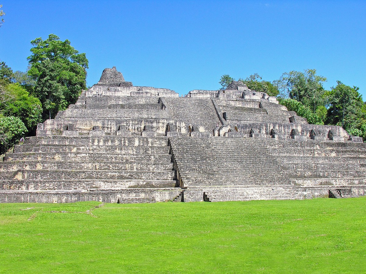
Photo: Dennis G. Jarvis via Wikimedia Commons, CC BY-SA 2.0. Cropped and resized for display.
Landmark facts
| Location | San Ignacio, Belize |
|---|---|
| Type | Historic Site |
| Built | 331 |
| Area | Area: 200 km² |
| Annual visitors (2019) | 13,333 |
| Coordinates | 16.7639° N, 89.1175° W |
Every fact above is taken from the sources listed below; anything no source states is left blank rather than guessed.
What Caracol is known for
Caracol is a large ancient Maya archaeological site, located in what is now the Cayo District of Belize.
About Caracol
Caracol is a large ancient Maya archaeological site, located in what is now the Cayo District of Belize. It is situated approximately 40 kilometres (25 mi) south of Xunantunich, and the town of San Ignacio, and 15 km (9.3 mi) from the Macal River. It rests on the Vaca Plateau, at an elevation of 500 m (1,600 ft) above sea-level, in the foothills of the Maya Mountains.
History
The Caracol area was occupied as early as 1200 BC, yet occupation in the epicentral area was no earlier than 650 BC and lasted no later than AD 950. By the Early Classic, between AD 250 and 550, Caracol was tied into extensive trade networks and pan-lowland ideological systems, leading to a unified regional economy. Caracol was officially founded in AD 331 by Te' K'ab Chaak.
Planning a visit? Visit the official Caracol website — the official site has the current visiting information.
How to get there
| Nearest town | San Ignacio |
|---|---|
| Nearest airport | Punta Gorda Airport (PND) |
| Distance from the airport | 50.0 miles (straight line) |
Nearest major airport by straight-line distance from the landmark’s coordinates; road distance will be longer.
Airports near this landmark
The airports a visitor would actually fly into, nearest first — each link opens its profile on our sister site AirportProfiles.
- Philip S. W. Goldson International Airport (BZE) · Belize City, Belize · 75.9 miles away
- Ramón Villeda Morales International Airport (SAP) · San Pedro Sula, Honduras · 120.4 miles away
Landmarks nearby
The closest landmarks in this library, by straight-line distance.
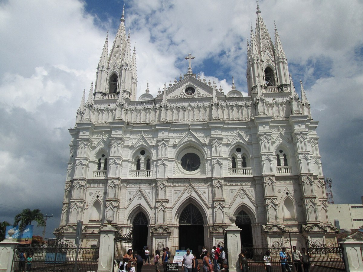
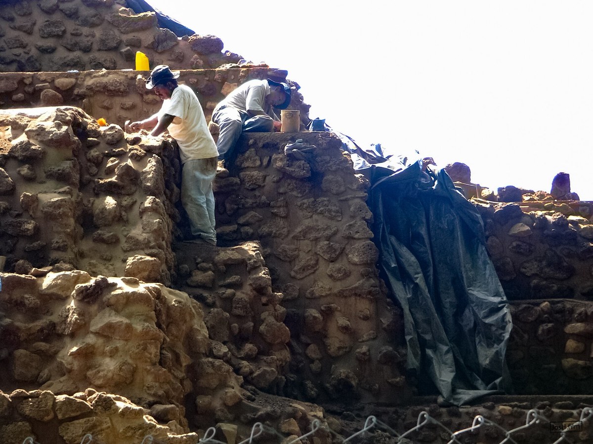
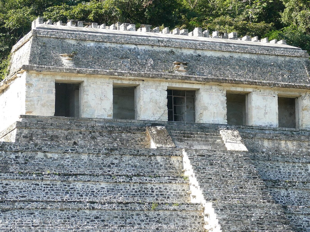
More landmarks in Belize
More historic sites





Frequently asked questions
What is Caracol?
Caracol is a large ancient Maya archaeological site, located in what is now the Cayo District of Belize.
Where is Caracol located?
Caracol is in San Ignacio, Belize. Its coordinates are 16.7639° N, 89.1175° W.
How do I get to Caracol?
The nearest town is San Ignacio, and the nearest airport is Punta Gorda Airport (PND), about 50.0 miles away (straight line).
When was Caracol built?
Caracol was built 331.
Sources
- https://en.wikipedia.org/wiki/Caracol — Wikipedia article — overview, history and core facts (CC BY-SA).
- https://www.wikidata.org/wiki/Q1035336 — Wikidata — built year, architect, height/size, visitors, official website (CC0).
- https://caracol.org/ — Official website of the landmark / managing body.
- https://github.com/jbrooksuk/JSON-Airports — Nearest major airport computed from landmark and airport coordinates (haversine); airport list: jbrooksuk/JSON-Airports.
Page last updated 13 November 2026.