
Historic Site · San Francisco, United States
Alcatraz Island
Alcatraz Island () is a small island about 1.

Photo: Chris6d via Wikimedia Commons, CC BY-SA 4.0. Cropped and resized for display.
Landmark facts
| Location | San Francisco, United States |
|---|---|
| Type | Historic Site |
| Elevation | Elevation: 41 m |
| Coordinates | 37.8267° N, 122.4228° W |
Every fact above is taken from the sources listed below; anything no source states is left blank rather than guessed.
What Alcatraz Island is known for
Alcatraz Island () is a small island about 1.
About Alcatraz Island
Alcatraz Island () is a small island about 1.25 miles offshore from San Francisco in San Francisco Bay, California, near the Golden Gate strait. The island was developed in the mid-19th century with facilities for a lighthouse, a military fortification, and a military prison. In 1934, the island was converted into a federal prison, Alcatraz Federal Penitentiary.
History
The first European to document the islands of San Francisco Bay was Spanish naval officer and explorer Juan Manuel de Ayala during the Spanish rule of California; he charted San Francisco Bay in 1775. He named today's Yerba Buena Island as "La Isla de los Alcatraces", which translates as "The Island of the Gannets", but is commonly believed to translate as "The Island of the Pelicans" (the modern Spanish word for pelican is pelícano), from the archaic Spanish alcatraz ("pelican"). No gannets are native to the Pacific Coast, making the older Spanish usage more likely.
Planning a visit? Visit the official Alcatraz Island website — the official site has the current visiting information.
How to get there
| Nearest town | San Francisco |
|---|---|
| Nearest airport | Metropolitan Oakland International Airport (OAK) |
| Distance from the airport | 14.0 miles (straight line) |
Nearest major airport by straight-line distance from the landmark’s coordinates; road distance will be longer.
Airports near this landmark
The airports a visitor would actually fly into, nearest first — each link opens its profile on our sister site AirportProfiles.
- Oakland San Francisco Bay Airport (OAK) · Oakland, United States · 13.2 miles away
- San Francisco International Airport (SFO) · San Francisco, United States · 14.5 miles away
- Mineta San Jose International Airport (SJC) · San Jose, United States · 41.9 miles away
Landmarks nearby
The closest landmarks in this library, by straight-line distance.
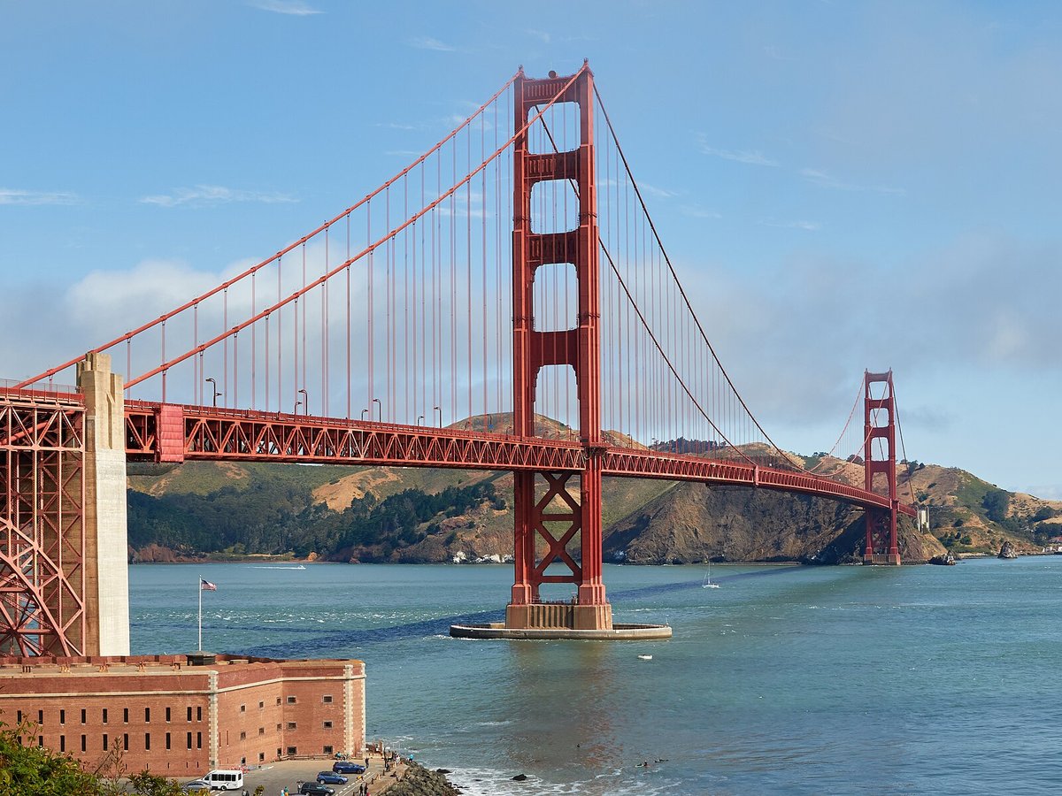
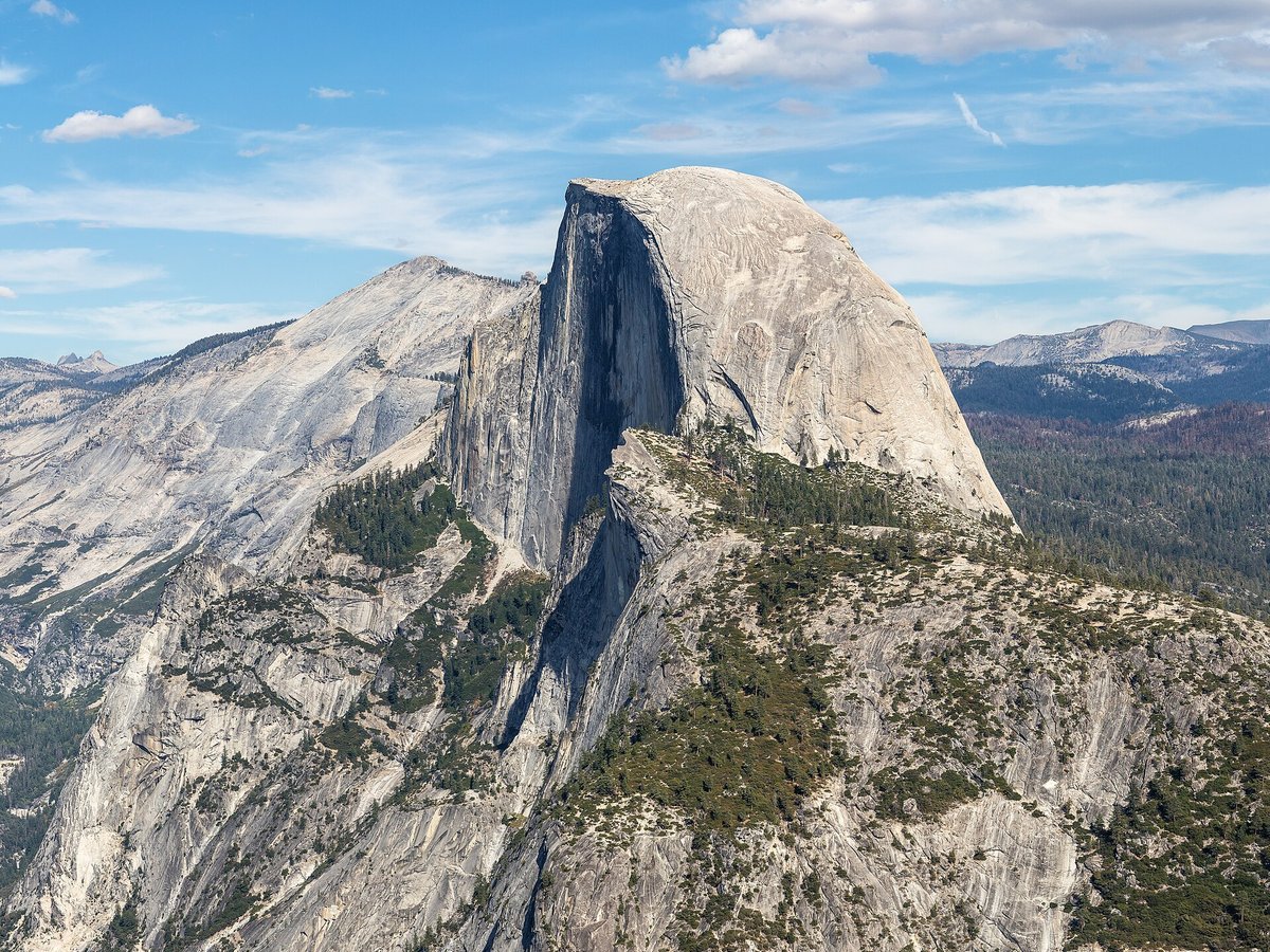
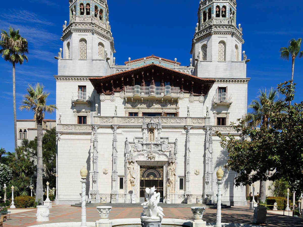
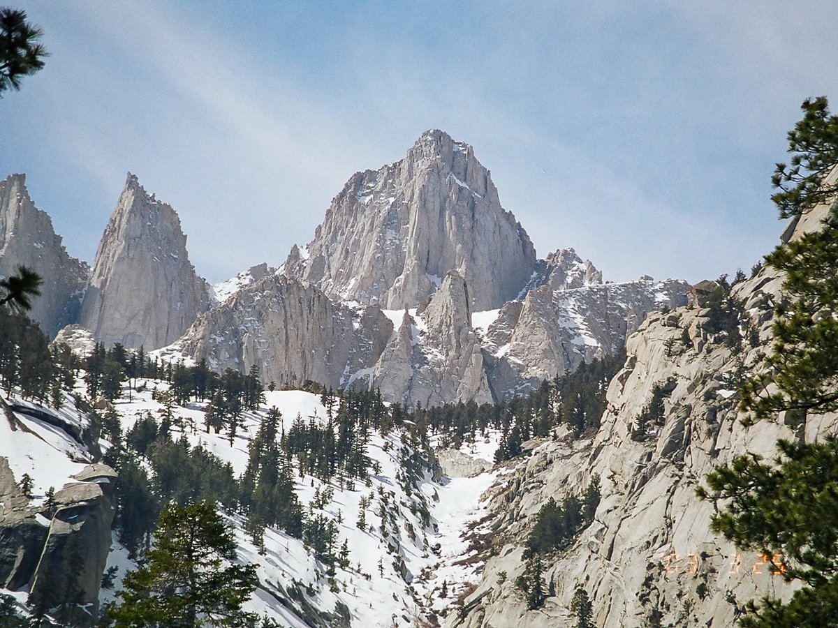


More landmarks in United States



More historic sites




Frequently asked questions
What is Alcatraz Island?
Alcatraz Island () is a small island about 1.
Where is Alcatraz Island located?
Alcatraz Island is in San Francisco, United States. Its coordinates are 37.8267° N, 122.4228° W.
How do I get to Alcatraz Island?
The nearest town is San Francisco, and the nearest airport is Metropolitan Oakland International Airport (OAK), about 14.0 miles away (straight line).
What is the history of Alcatraz Island?
The first European to document the islands of San Francisco Bay was Spanish naval officer and explorer Juan Manuel de Ayala during the Spanish rule of California; he charted San Francisco Bay in 1775. He named today's Yerba Buena Island as "La Isla de los Alcatraces", which translates as "The Island of the Gannets", but is commonly believed to translate as "The Island of the Pelicans" (the modern Spanish word for pelican is pelícano), from the archaic Spanish alcatraz ("pelican").
Sources
- https://en.wikipedia.org/wiki/Alcatraz_Island — Wikipedia article — overview, history and core facts (CC BY-SA).
- https://www.wikidata.org/wiki/Q131354 — Wikidata — built year, architect, height/size, visitors, official website (CC0).
- https://www.nps.gov/alca/index.htm — Official website of the landmark / managing body.
- https://github.com/jbrooksuk/JSON-Airports — Nearest major airport computed from landmark and airport coordinates (haversine); airport list: jbrooksuk/JSON-Airports.
Page last updated 13 November 2026.