
Historic Site · Palenque, Mexico
Palenque
Palenque, also anciently known in the Itzaʼ language as Lakamha ("big water" or "big waters"), was a Maya city-state in southern Mexico that perished in the 8th century.
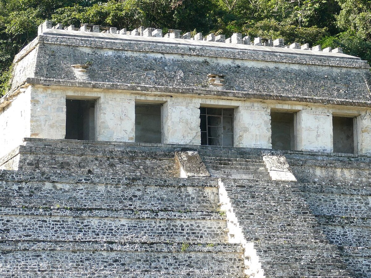
Photo: Bernard DUPONT via Wikimedia Commons, CC BY-SA 2.0. Cropped and resized for display.
Landmark facts
| Location | Palenque, Mexico |
|---|---|
| Type | Historic Site |
| Area | Area: 17.72 km² |
| Coordinates | 17.4842° N, 92.0464° W |
Every fact above is taken from the sources listed below; anything no source states is left blank rather than guessed.
What Palenque is known for
Palenque, also anciently known in the Itzaʼ language as Lakamha ("big water" or "big waters"), was a Maya city-state in southern Mexico that perished in the 8th century.
About Palenque
Palenque, also anciently known in the Itzaʼ language as Lakamha ("big water" or "big waters"), was a Maya city-state in southern Mexico that perished in the 8th century. The Palenque ruins date from ca. 226 BC to ca.
History
Mythological beings using a variety of emblem glyphs in their titles suggests a complex early history. For instance, Kʼukʼ Bahlam I, the supposed founder of the Palenque dynasty, is called a Toktan Ajaw in the text of the Temple of the Foliated Cross. The famous structures that we know today probably represent a rebuilding effort in response to the attacks by the city of Calakmul and its client states in 599 and 611.
How to get there
| Nearest town | Palenque |
|---|---|
| Nearest airport | Ciudad del Carmen International Airport (CME) |
| Distance from the airport | 82.2 miles (straight line) |
Nearest major airport by straight-line distance from the landmark’s coordinates; road distance will be longer.
Airports near this landmark
The airports a visitor would actually fly into, nearest first — each link opens its profile on our sister site AirportProfiles.
- Carlos Rovirosa Pérez International Airport (VSA) · Villahermosa, Mexico · 61.8 miles away
Landmarks nearby
The closest landmarks in this library, by straight-line distance.
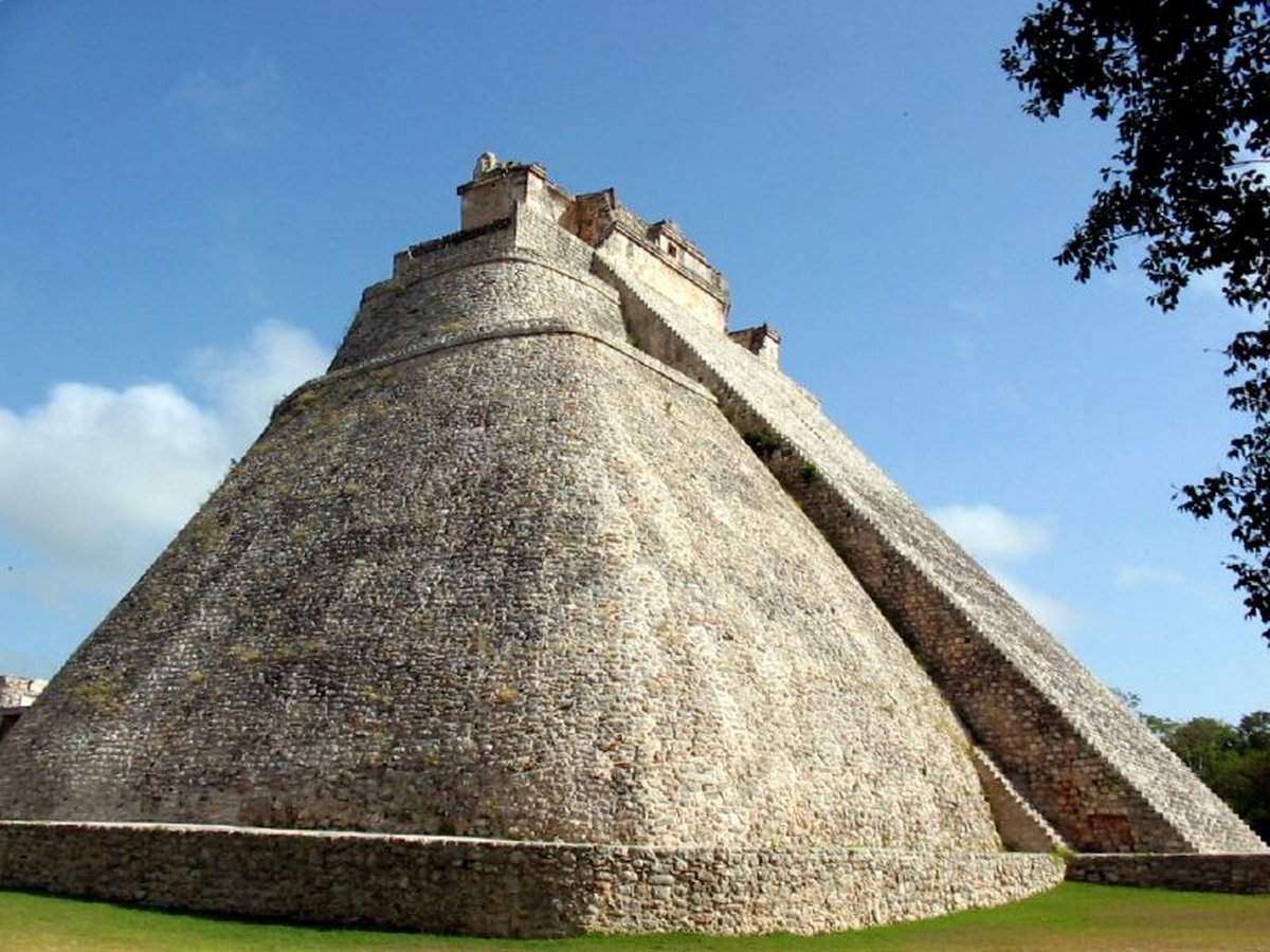
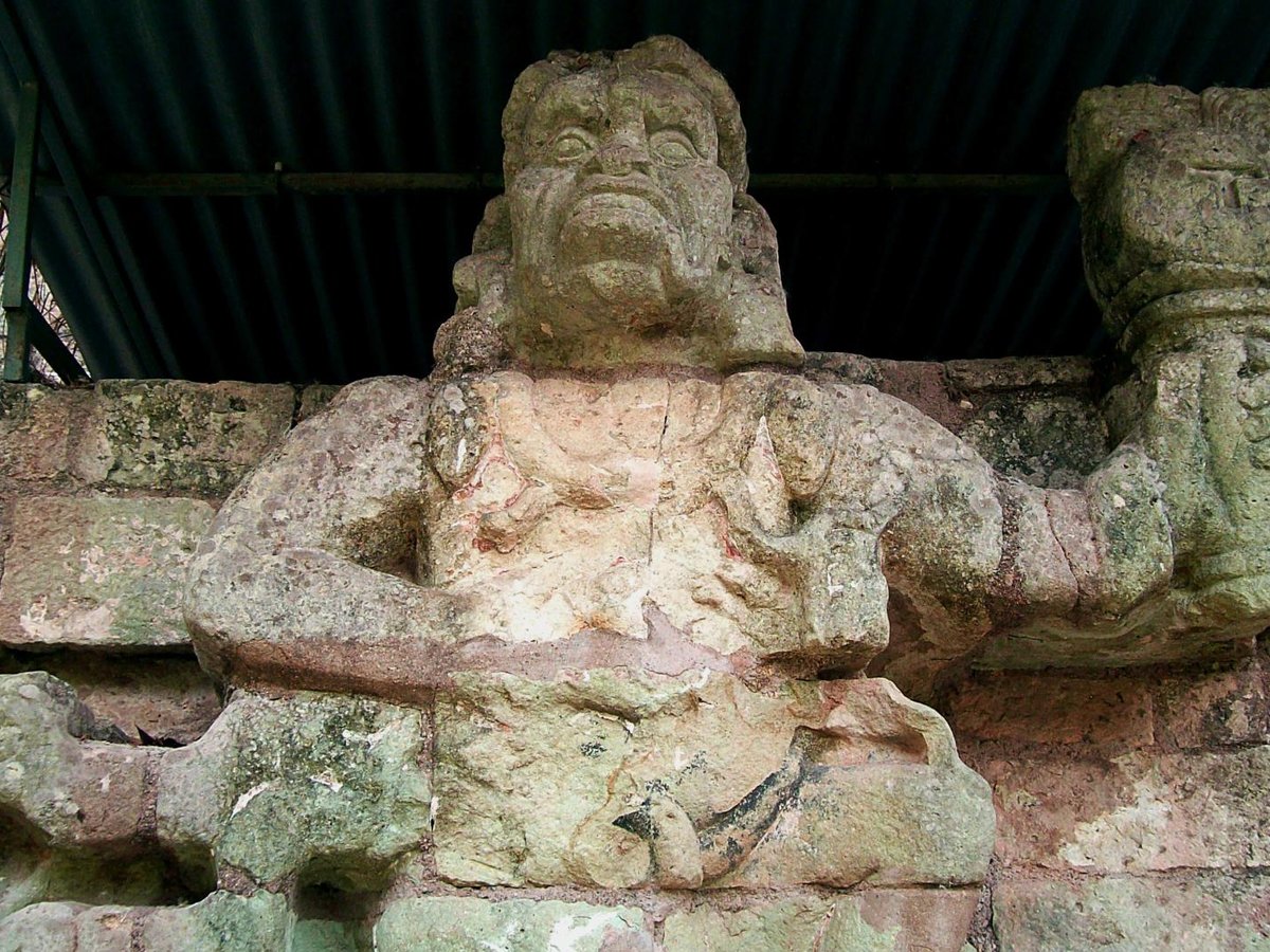
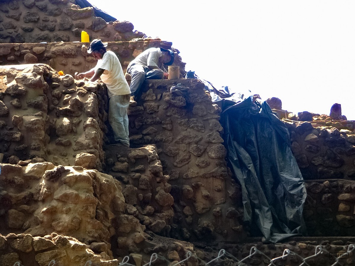
More landmarks in Mexico
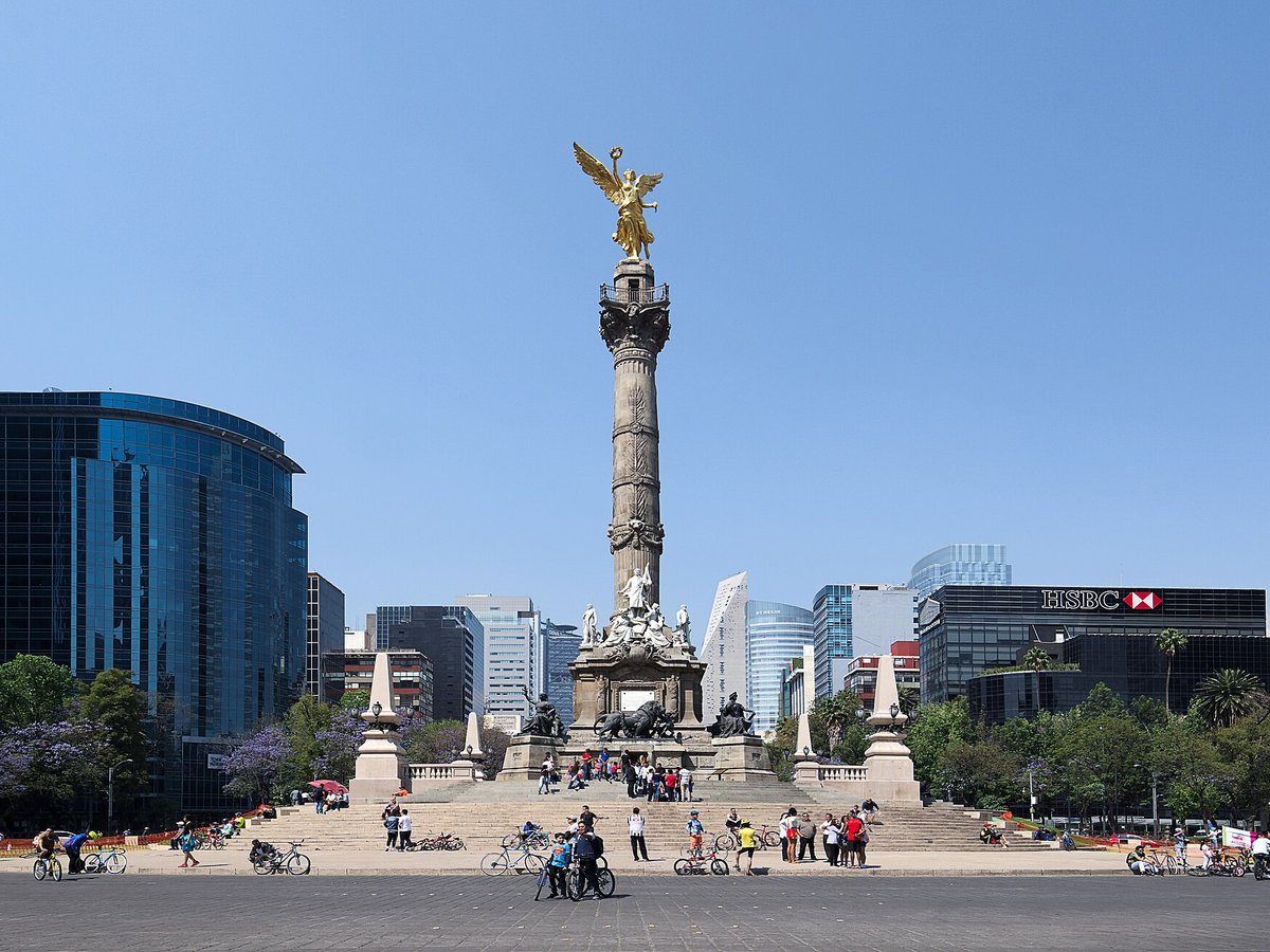
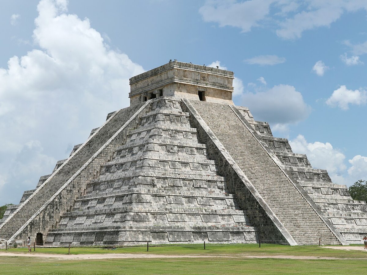
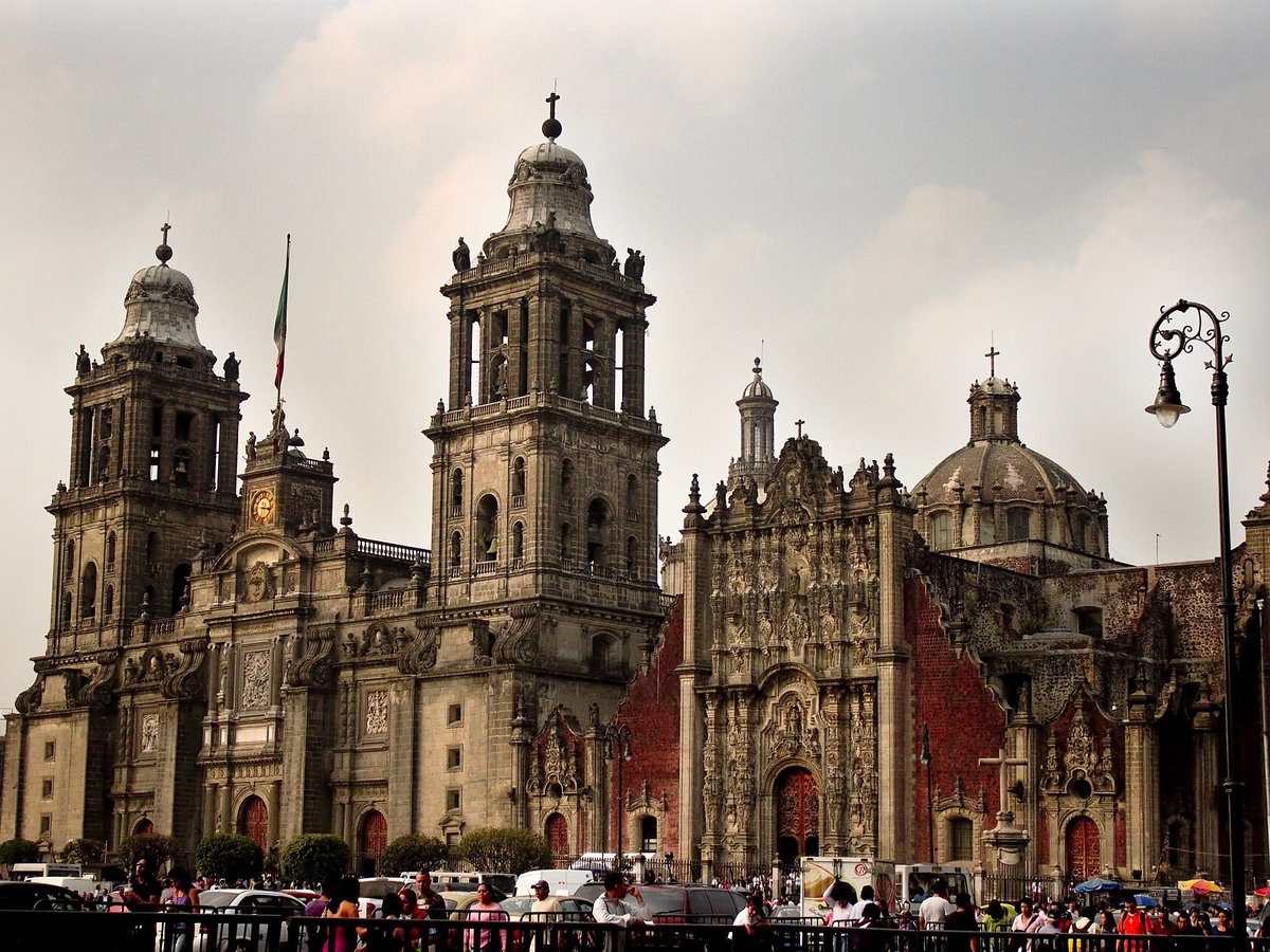
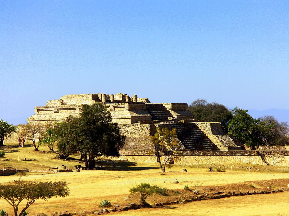
More historic sites





Frequently asked questions
What is Palenque?
Palenque, also anciently known in the Itzaʼ language as Lakamha ("big water" or "big waters"), was a Maya city-state in southern Mexico that perished in the 8th century.
Where is Palenque located?
Palenque is in Palenque, Mexico. Its coordinates are 17.4842° N, 92.0464° W.
How do I get to Palenque?
The nearest town is Palenque, and the nearest airport is Ciudad del Carmen International Airport (CME), about 82.2 miles away (straight line).
What is the history of Palenque?
Mythological beings using a variety of emblem glyphs in their titles suggests a complex early history. For instance, Kʼukʼ Bahlam I, the supposed founder of the Palenque dynasty, is called a Toktan Ajaw in the text of the Temple of the Foliated Cross.
Sources
- https://en.wikipedia.org/wiki/Palenque — Wikipedia article — overview, history and core facts (CC BY-SA).
- https://www.wikidata.org/wiki/Q181427 — Wikidata — built year, architect, height/size, visitors, official website (CC0).
- https://github.com/jbrooksuk/JSON-Airports — Nearest major airport computed from landmark and airport coordinates (haversine); airport list: jbrooksuk/JSON-Airports.
Page last updated 13 November 2026.