
Historic Site · Flores, Guatemala
Tikal
Tikal (; Tik'al in modern Mayan orthography) is the ruin of an ancient city, which was likely to have been called Yax Mutal, found in a rainforest in Guatemala.
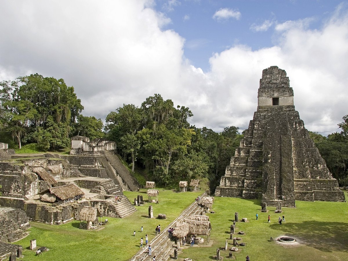
Photo: Mundo Maya via Wikimedia Commons, CC BY-SA 4.0. Cropped and resized for display.
Landmark facts
| Location | Flores, Guatemala |
|---|---|
| Type | Historic Site |
| Coordinates | 17.2219° N, 89.6236° W |
Every fact above is taken from the sources listed below; anything no source states is left blank rather than guessed.
What Tikal is known for
Tikal (; Tik'al in modern Mayan orthography) is the ruin of an ancient city, which was likely to have been called Yax Mutal, found in a rainforest in Guatemala.
About Tikal
Tikal (; Tik'al in modern Mayan orthography) is the ruin of an ancient city, which was likely to have been called Yax Mutal, found in a rainforest in Guatemala. One of the largest archaeological sites and urban centers of the pre-Columbian Maya civilization, it is located in the archaeological region of the Petén Basin in what is now the Petén Department in northern Guatemala. The site is part of Guatemala's Tikal National Park, which was declared a UNESCO World Heritage Site in 1979.
History
There are traces of early agriculture at the site dating as far back as 1000 BC, in the Middle Preclassic. A cache of Mamon ceramics dating from about 700–400 BC were found in a sealed chultun, a subterranean bottle-shaped chamber. Major construction at Tikal was already taking place in the Late Preclassic period, first appearing around 400–300 BC, including the building of major pyramids and platforms, although the city was still dwarfed by sites further north such as El Mirador and Nakbe.
Planning a visit? Visit the official Tikal website — the official site has the current visiting information.
How to get there
| Nearest town | Flores |
|---|---|
| Nearest airport | Mundo Maya International Airport (FRS) |
| Distance from the airport | 27.2 miles (straight line) |
Nearest major airport by straight-line distance from the landmark’s coordinates; road distance will be longer.
Airports near this landmark
The airports a visitor would actually fly into, nearest first — each link opens its profile on our sister site AirportProfiles.
- Philip S. W. Goldson International Airport (BZE) · Belize City, Belize · 89.8 miles away
Landmarks nearby
The closest landmarks in this library, by straight-line distance.
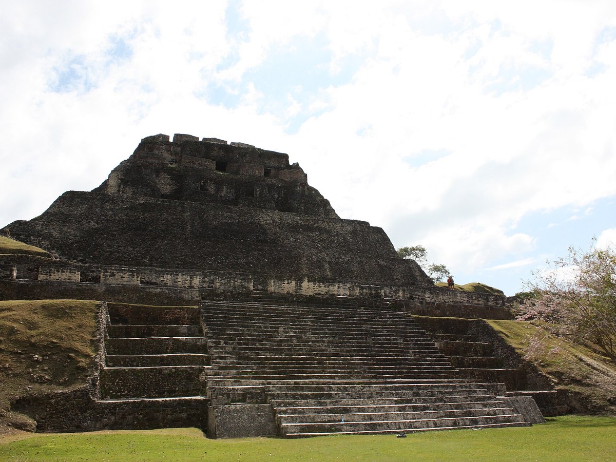
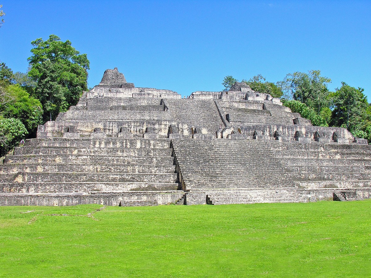
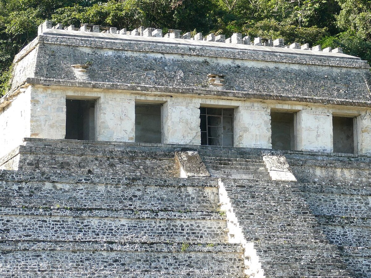
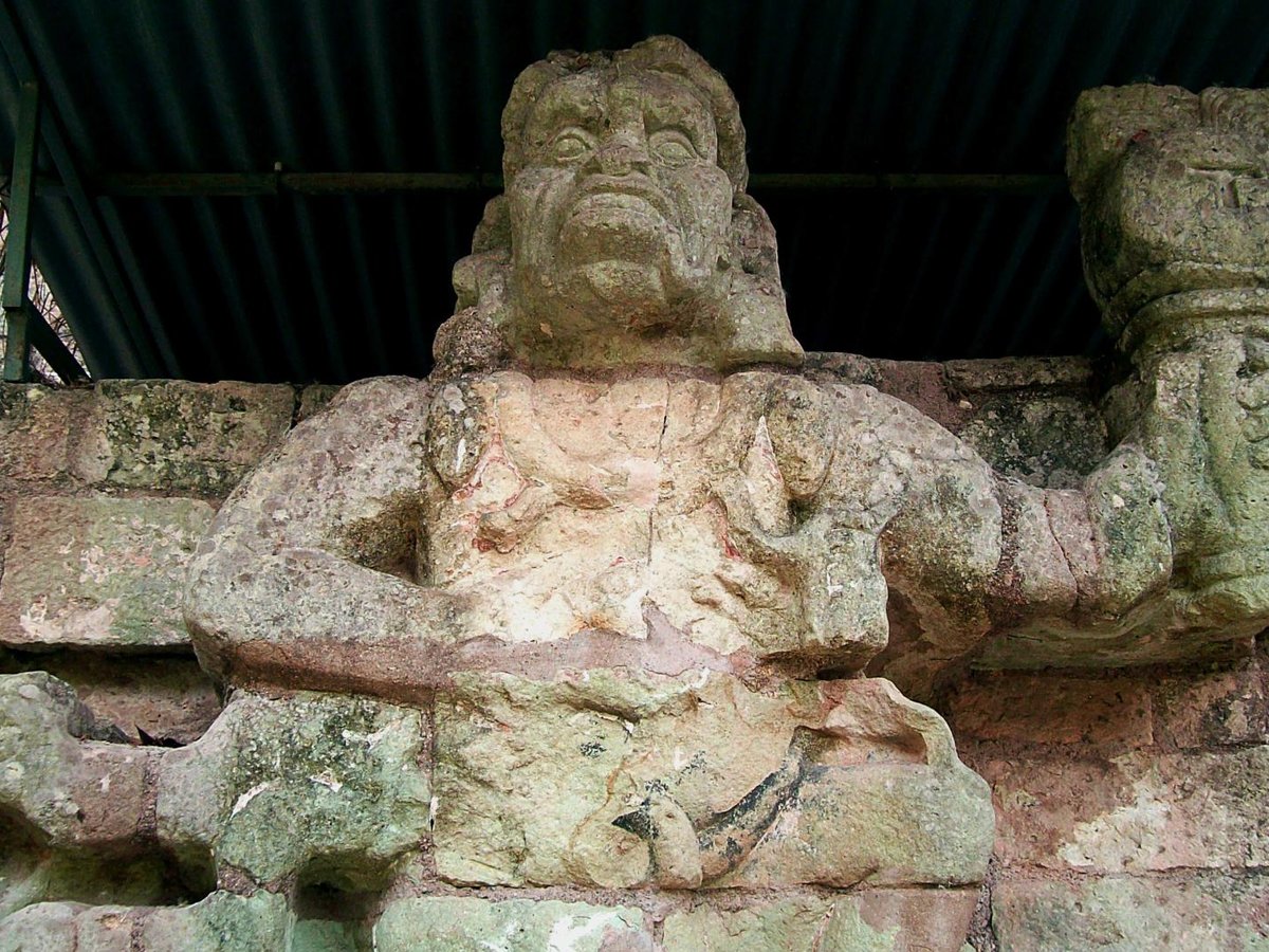
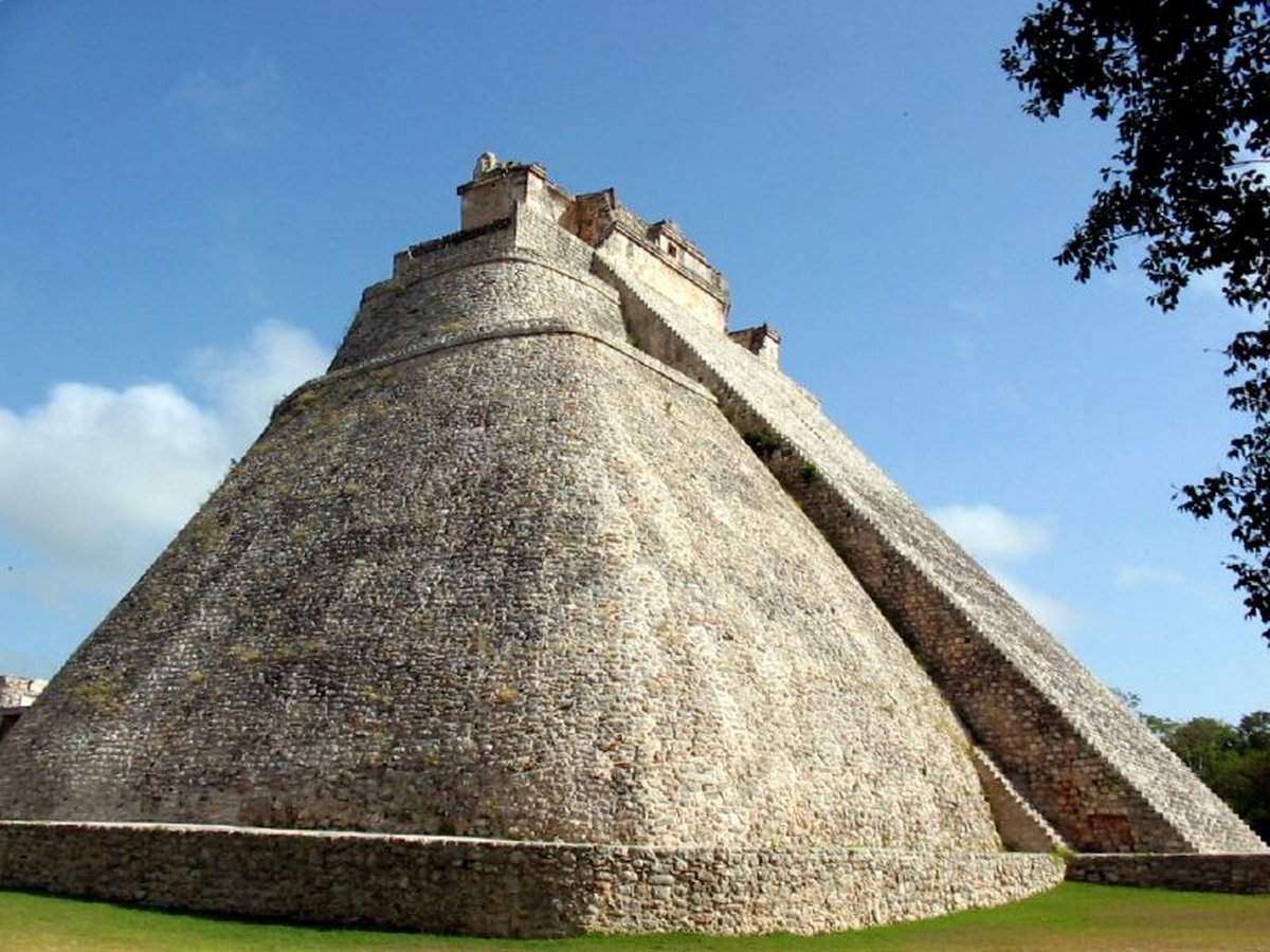
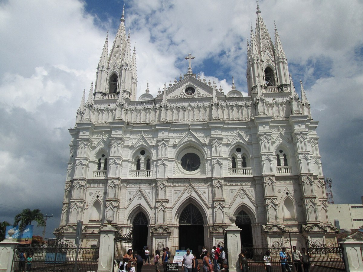
More historic sites





Frequently asked questions
What is Tikal?
Tikal (; Tik'al in modern Mayan orthography) is the ruin of an ancient city, which was likely to have been called Yax Mutal, found in a rainforest in Guatemala.
Where is Tikal located?
Tikal is in Flores, Guatemala. Its coordinates are 17.2219° N, 89.6236° W.
How do I get to Tikal?
The nearest town is Flores, and the nearest airport is Mundo Maya International Airport (FRS), about 27.2 miles away (straight line).
What is the history of Tikal?
There are traces of early agriculture at the site dating as far back as 1000 BC, in the Middle Preclassic. A cache of Mamon ceramics dating from about 700–400 BC were found in a sealed chultun, a subterranean bottle-shaped chamber.
Sources
- https://en.wikipedia.org/wiki/Tikal — Wikipedia article — overview, history and core facts (CC BY-SA).
- https://www.wikidata.org/wiki/Q181172 — Wikidata — built year, architect, height/size, visitors, official website (CC0).
- http://www.tikalpark.com/ — Official website of the landmark / managing body.
- https://github.com/jbrooksuk/JSON-Airports — Nearest major airport computed from landmark and airport coordinates (haversine); airport list: jbrooksuk/JSON-Airports.
Page last updated 13 November 2026.