
Historic Site · Copán Ruinas, Honduras
Copán Ruins
Copán is an archaeological site of the Maya civilization in the Copán Department of western Honduras, not far from the border wit.
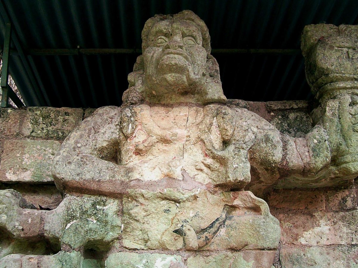
Photo: Adalberto Hernandez Vega from Copan Ruinas, Honduras via Wikimedia Commons, CC BY 2.0. Cropped and resized for display.
Landmark facts
| Location | Copán Ruinas, Honduras |
|---|---|
| Type | Historic Site |
| Area | Area: 0.151 km² |
| Coordinates | 14.8375° N, 89.1425° W |
Every fact above is taken from the sources listed below; anything no source states is left blank rather than guessed.
What Copán Ruins is known for
Copán is an archaeological site of the Maya civilization in the Copán Department of western Honduras, not far from the border wit.
About Copán Ruins
Copán is an archaeological site of the Maya civilization in the Copán Department of western Honduras, not far from the border with Guatemala. It is one of the most important sites of the Maya civilization, which was not excavated until the 19th century. The ruined citadel and imposing public squares reveal the three main stages of development before the city was abandoned in the early 10th century.
History
Little is known of the rulers of Copán before the founding of a new dynasty with its origins at Tikal in the early 5th century AD, although the city's origins can be traced back to the Preclassic period. After this, Copán became one of the more powerful Maya city states and was a regional power in the southern Maya region. However, it suffered a catastrophic defeat at the hands of its former vassal state Quirigua in 738, when the long-ruling king Uaxaclajuun Ub'aah K'awiil was captured and beheaded by Quirigua's ruler K'ak' Tiliw Chan Yopaat (Cauac Sky).
How to get there
| Nearest town | Copán Ruinas |
|---|---|
| Nearest airport | Puerto Barrios Airport (PBR) |
| Distance from the airport | 70.9 miles (straight line) |
Nearest major airport by straight-line distance from the landmark’s coordinates; road distance will be longer.
Airports near this landmark
The airports a visitor would actually fly into, nearest first — each link opens its profile on our sister site AirportProfiles.
- Ramón Villeda Morales International Airport (SAP) · San Pedro Sula, Honduras · 91.7 miles away
- La Aurora International Airport (GUA) · Guatemala City, Guatemala · 94.2 miles away
- El Salvador International Airport Saint Óscar Arnulfo Romero y Galdámez (SAL) · San Salvador (San Luis Talpa), El Salvador · 96.4 miles away
Landmarks nearby
The closest landmarks in this library, by straight-line distance.
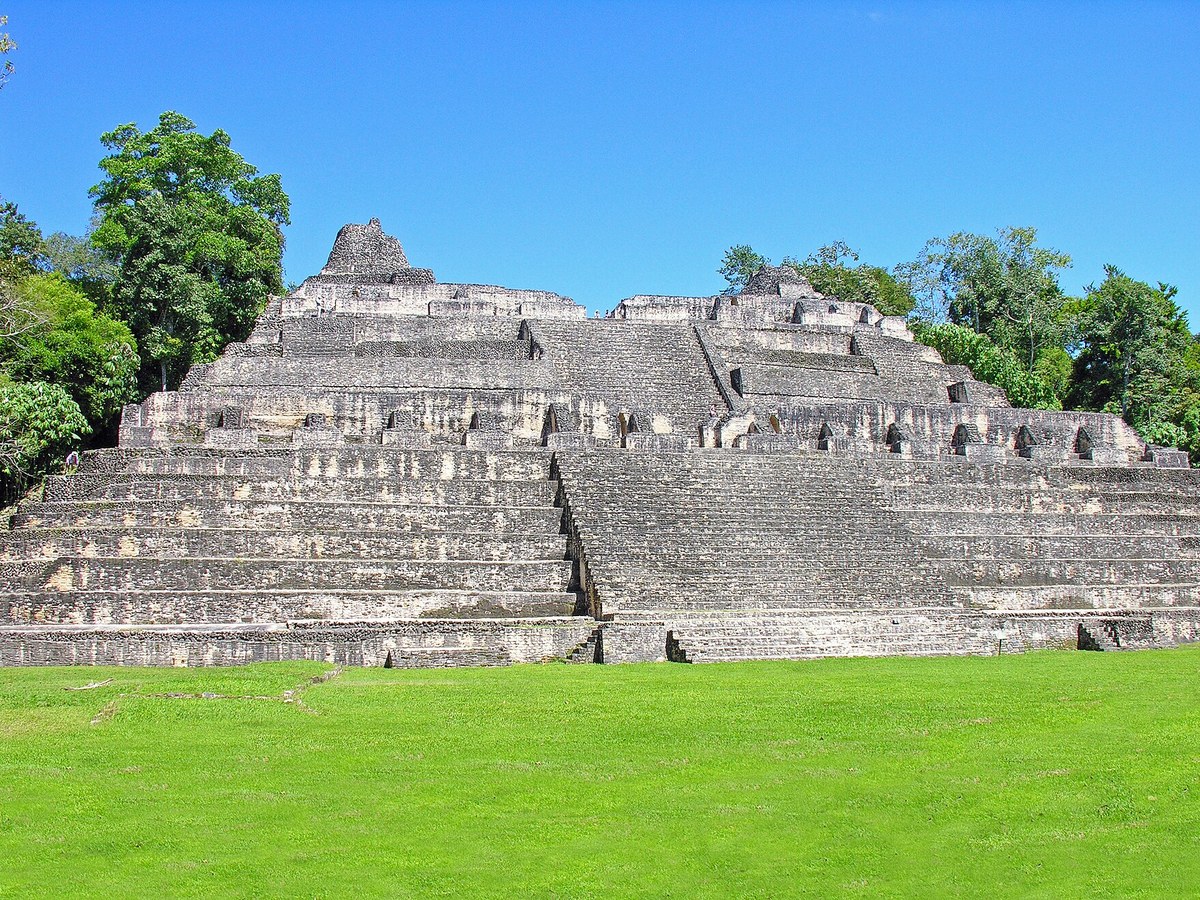
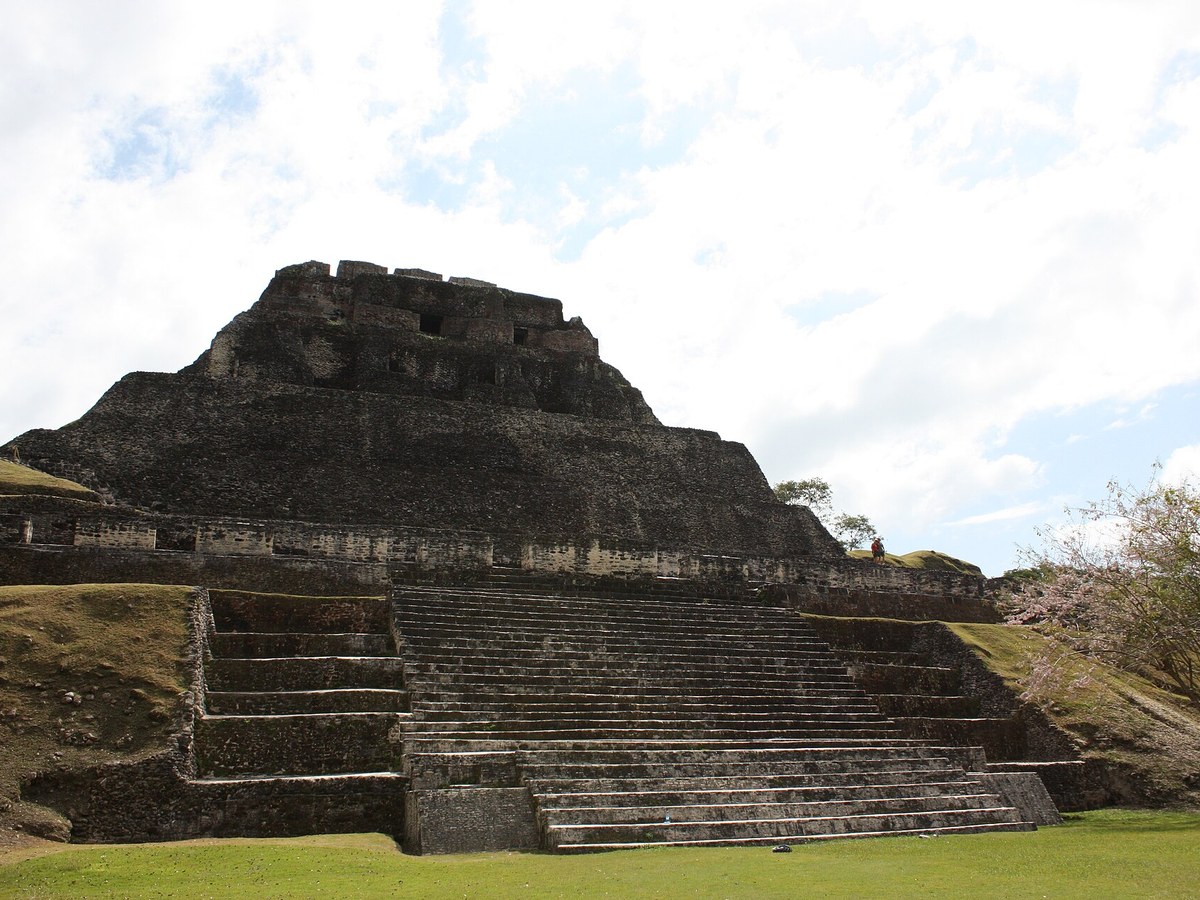
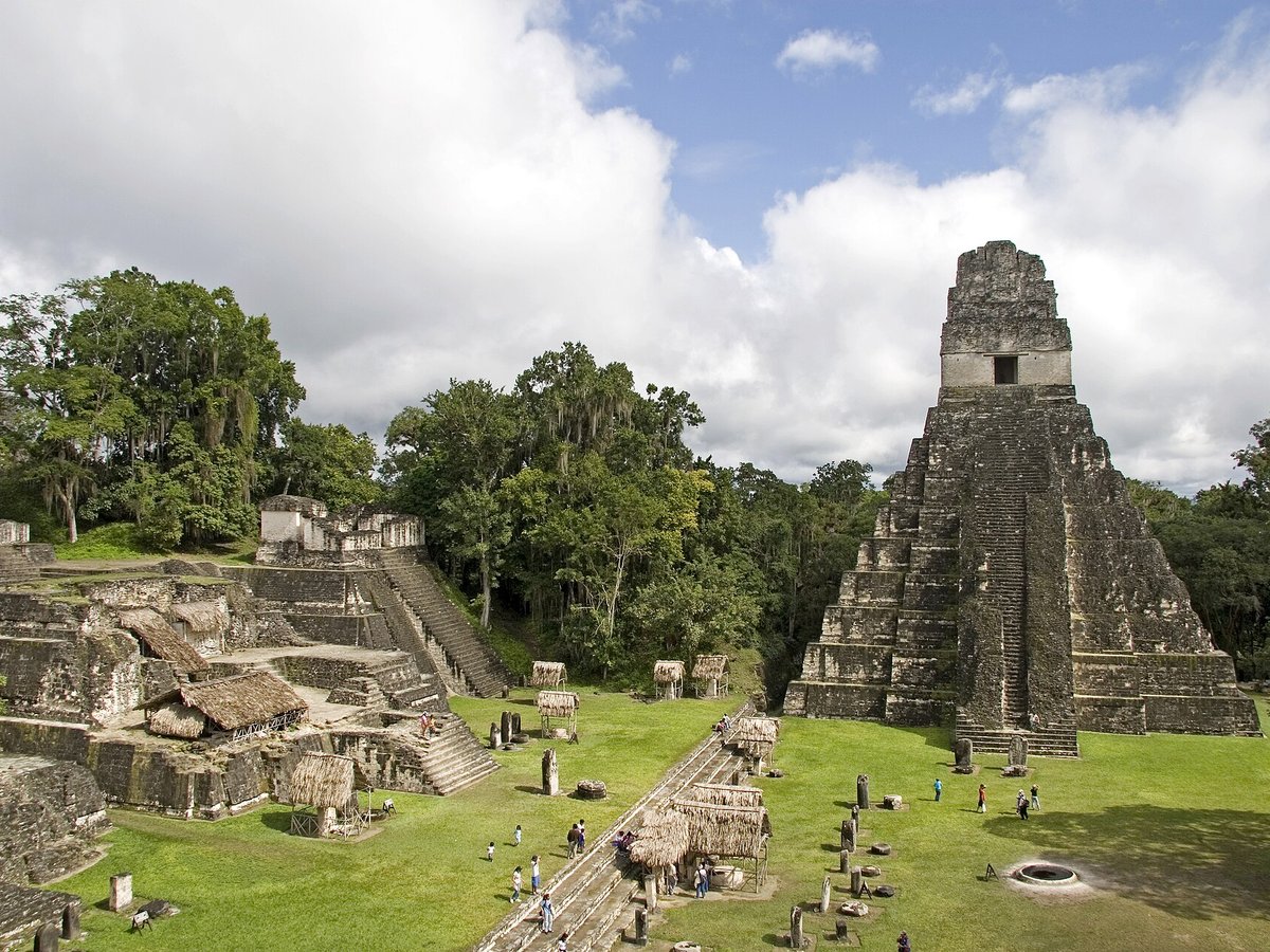
More historic sites





Frequently asked questions
What is Copán Ruins?
Copán is an archaeological site of the Maya civilization in the Copán Department of western Honduras, not far from the border wit.
Where is Copán Ruins located?
Copán Ruins is in Copán Ruinas, Honduras. Its coordinates are 14.8375° N, 89.1425° W.
How do I get to Copán Ruins?
The nearest town is Copán Ruinas, and the nearest airport is Puerto Barrios Airport (PBR), about 70.9 miles away (straight line).
What is the history of Copán Ruins?
Little is known of the rulers of Copán before the founding of a new dynasty with its origins at Tikal in the early 5th century AD, although the city's origins can be traced back to the Preclassic period. After this, Copán became one of the more powerful Maya city states and was a regional power in the southern Maya region.
Sources
- https://en.wikipedia.org/wiki/Copán — Wikipedia article — overview, history and core facts (CC BY-SA).
- https://www.wikidata.org/wiki/Q214827 — Wikidata — built year, architect, height/size, visitors, official website (CC0).
- https://github.com/jbrooksuk/JSON-Airports — Nearest major airport computed from landmark and airport coordinates (haversine); airport list: jbrooksuk/JSON-Airports.
Page last updated 13 November 2026.