
Historic Site · Al-Ula, Saudi Arabia
Hegra
Hegra, also known as Mada'in Salih, is an archaeological site located in the area of Al-'Ula within Medina Province in the Hejaz region, Saudi Arabia.
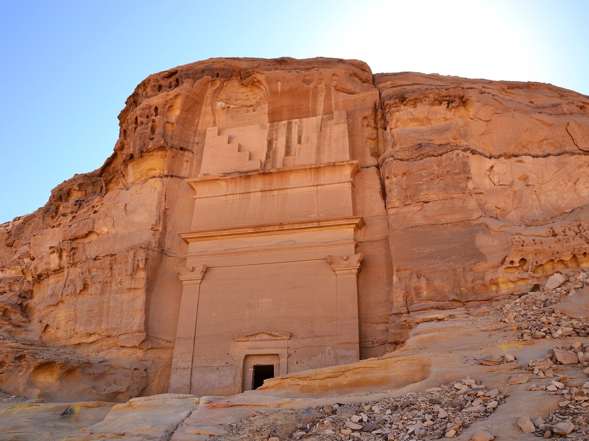
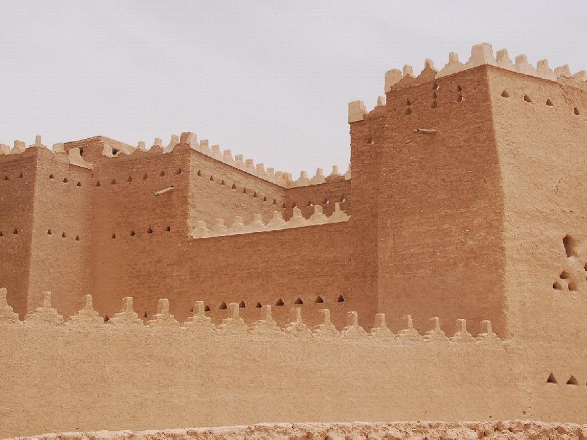
Photo: Sammy Six via Wikimedia Commons, CC BY 2.0. Cropped and resized for display.
Landmark facts
| Location | Al-Ula, Saudi Arabia |
|---|---|
| Type | Historic Site |
| Area | Area: 16.21 km² |
| Coordinates | 26.8142° N, 37.9475° E |
Every fact above is taken from the sources listed below; anything no source states is left blank rather than guessed.
What Hegra is known for
Hegra, also known as Mada'in Salih, is an archaeological site located in the area of Al-'Ula within Medina Province in the Hejaz region, Saudi Arabia.
About Hegra
Hegra, also known as Mada'in Salih, is an archaeological site located in the area of Al-'Ula within Medina Province in the Hejaz region, Saudi Arabia. A majority of the remains date from the time of the Nabataean Kingdom, when the city was founded. The site constituted the kingdom's southernmost and second largest city after its capital, Petra (modern-day Jordan). Traces of Lihyanite and Roman occupation before and after the Nabataean rule, respectively, can also be found.
History
Recent archaeological work has revealed numerous rock writings and pictures not only on Mount Athleb, but also throughout central Arabia. They date between the sixth century BC and the fourth century AD and are labelled as being Thamudic, a name invented by nineteenth-century scholars for these large numbers of inscriptions which had not yet been properly studied. Archaeological traces of cave art on the sandstones and epigraphs (inscriptions), considered by experts to be Lihyanite script, on top of the Athleb Mountain, near Hegra (Madaʾin Salih), have been dated to the 3rd–2nd century BC, indicating the early human settlement of the area, which has an accessible source of freshwater and fertile soil. The settlement of the Lihyans became a centre of commerce, with goods from the east, north and south converging in the locality.
Planning a visit? Visit the official Hegra website — the official site has the current visiting information.
How to get there
| Nearest town | Al-Ula |
|---|---|
| Nearest airport | Prince Abdul Majeed bin Abdulaziz Airport (ULH) |
| Distance from the airport | 25.3 miles (straight line) |
Nearest major airport by straight-line distance from the landmark’s coordinates; road distance will be longer.
Airports near this landmark
The airports a visitor would actually fly into, nearest first — each link opens its profile on our sister site AirportProfiles.
- Al-Ula International Airport (ULH) · Al-Ula, Saudi Arabia · 25.1 miles away
- Red Sea International Airport (RSI) · Hanak, Saudi Arabia · 97.7 miles away
- Prince Sultan bin Abdulaziz International Airport (TUU) · Tabuk, Saudi Arabia · 134.7 miles away
Landmarks nearby
The closest landmarks in this library, by straight-line distance.
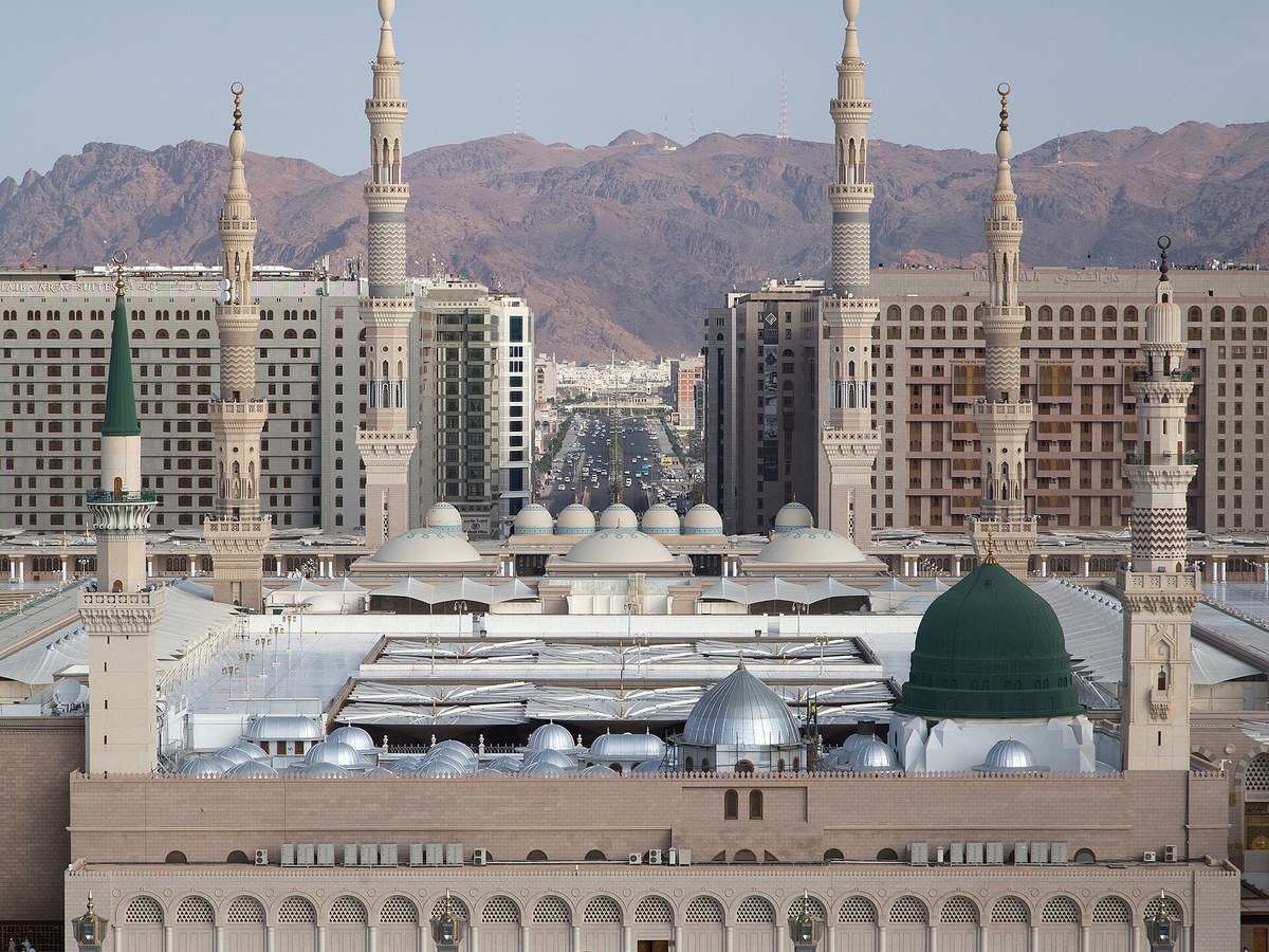
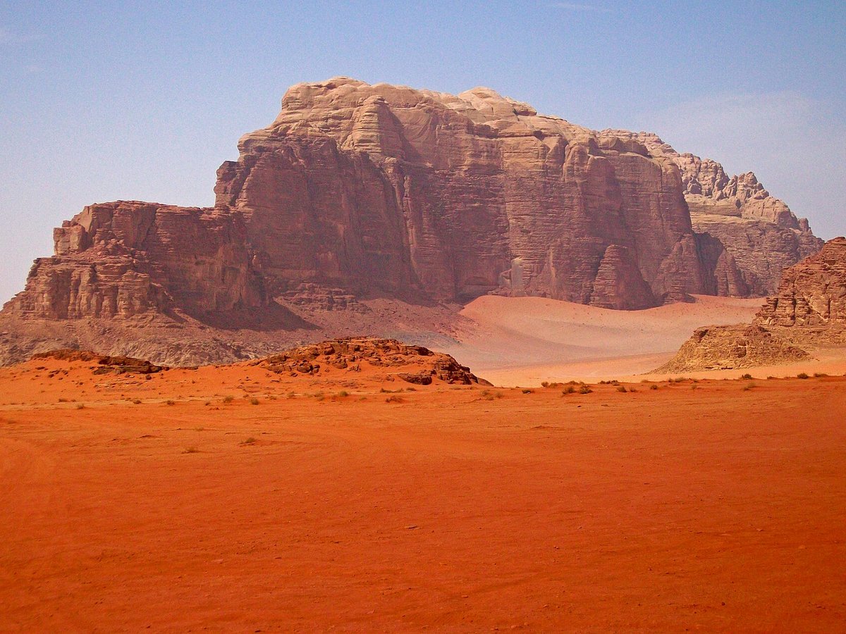
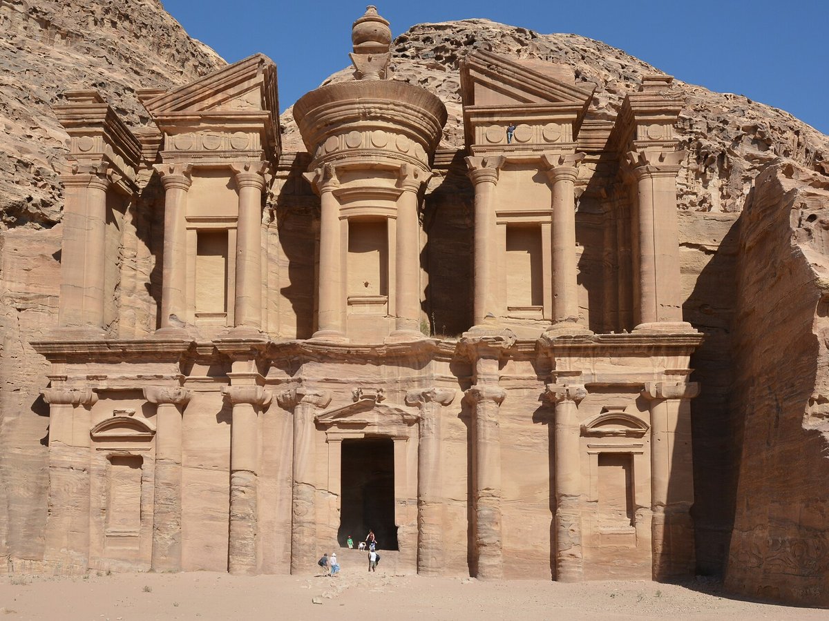
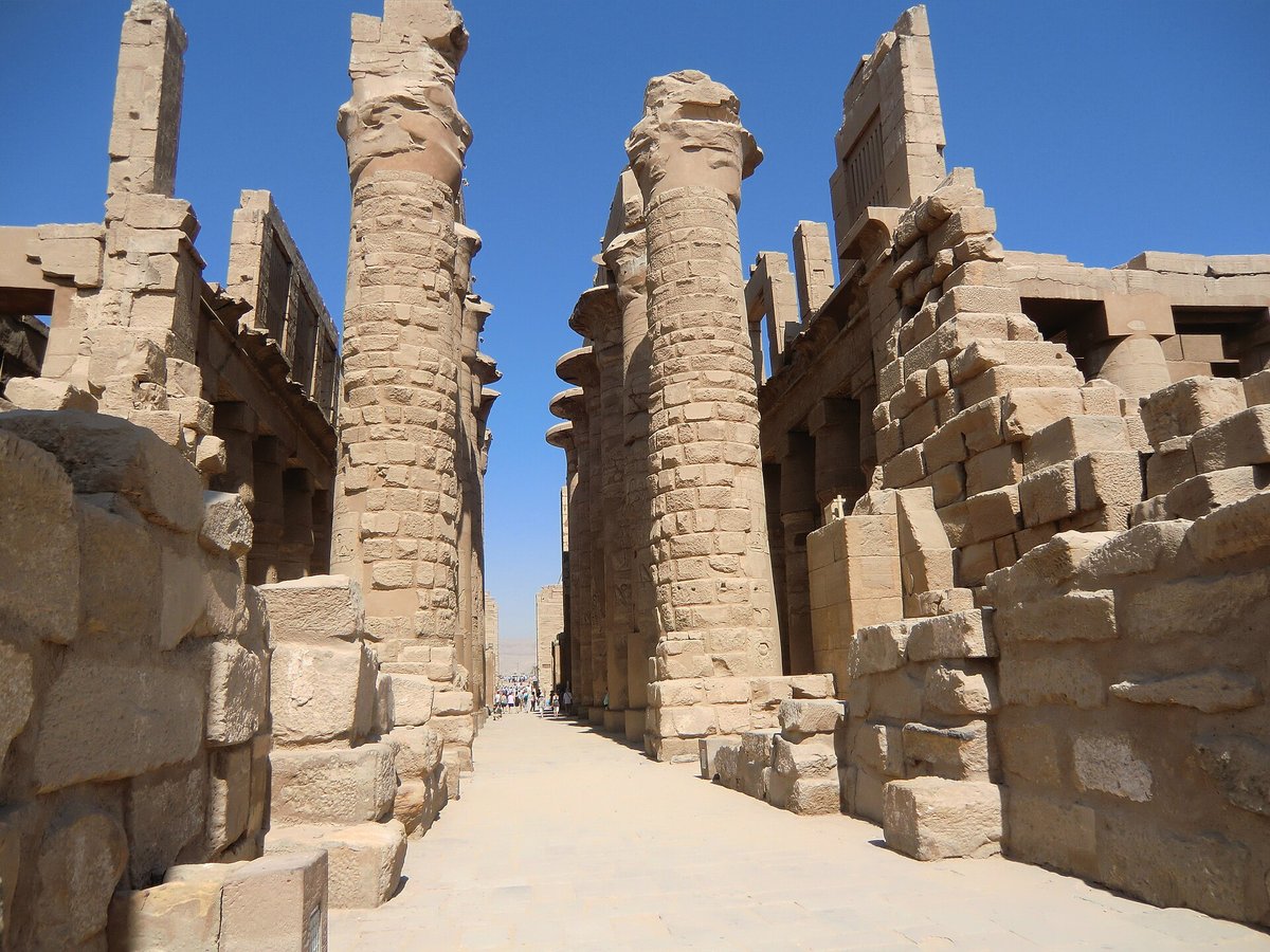
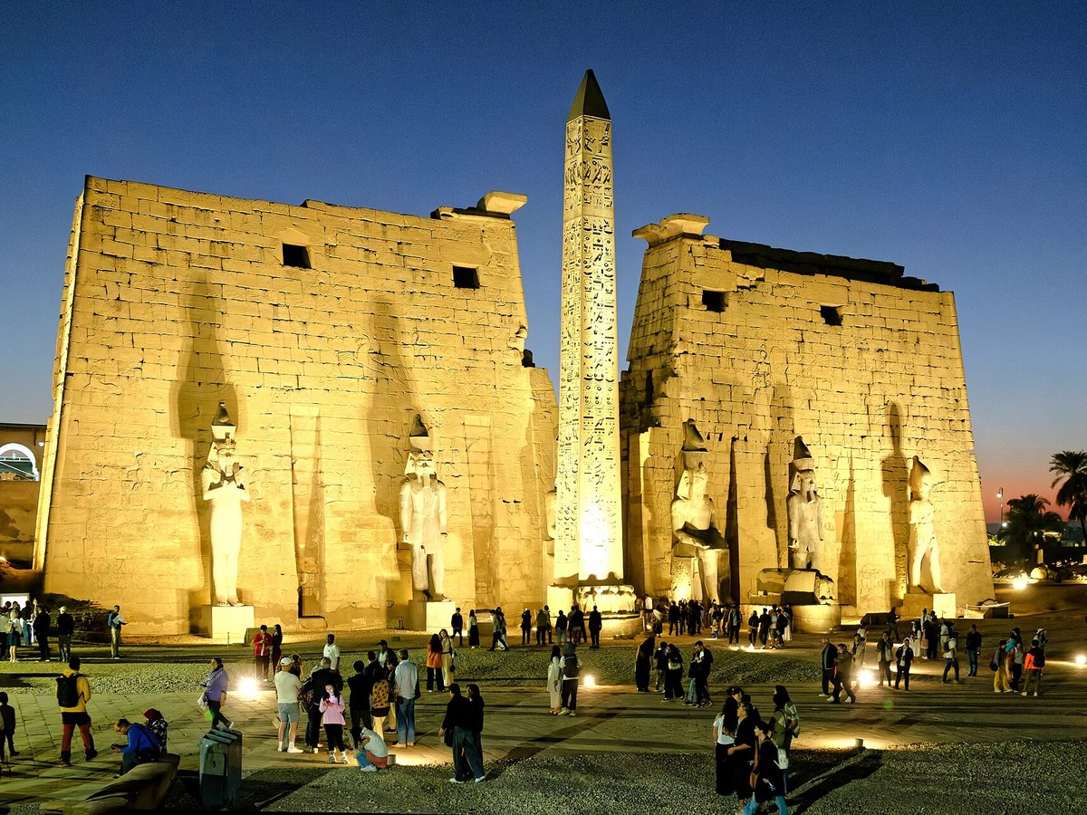
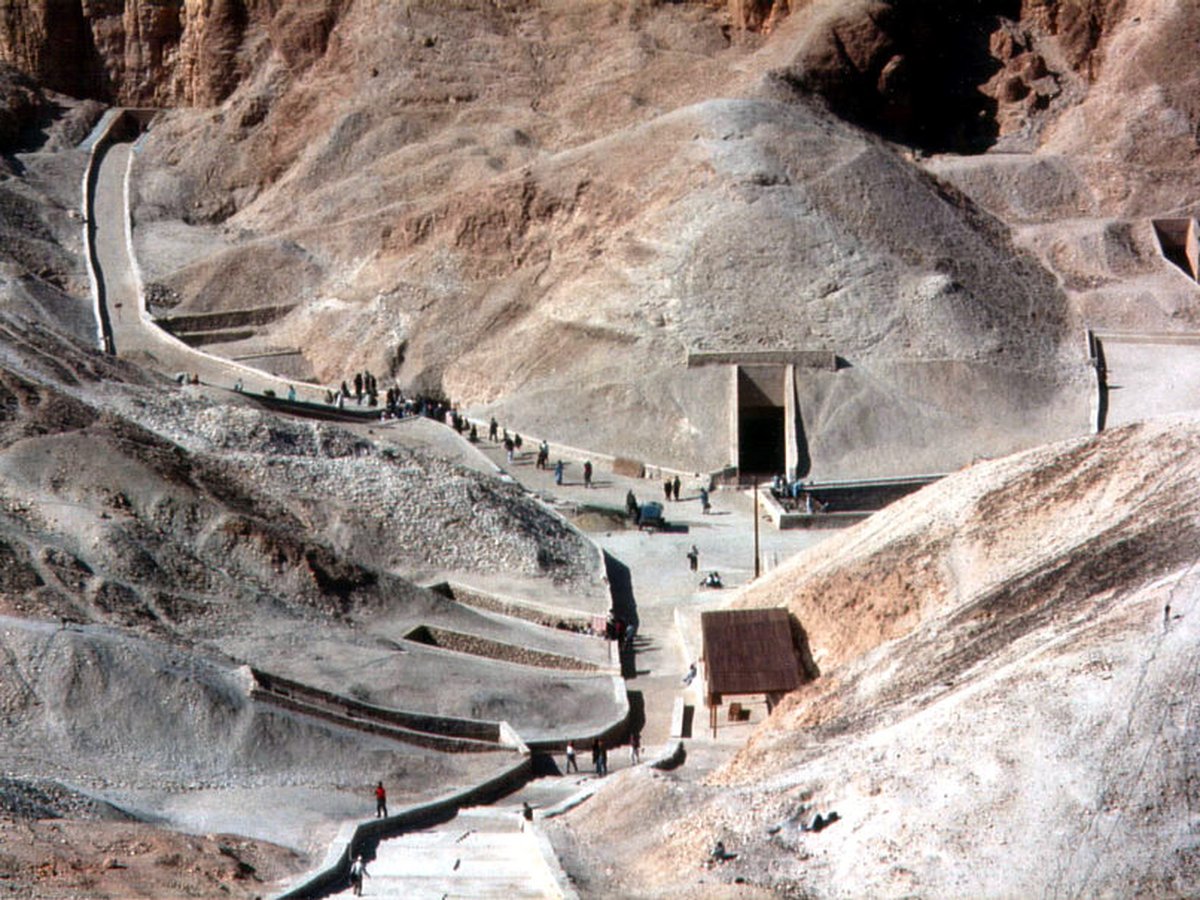
More landmarks in Saudi Arabia
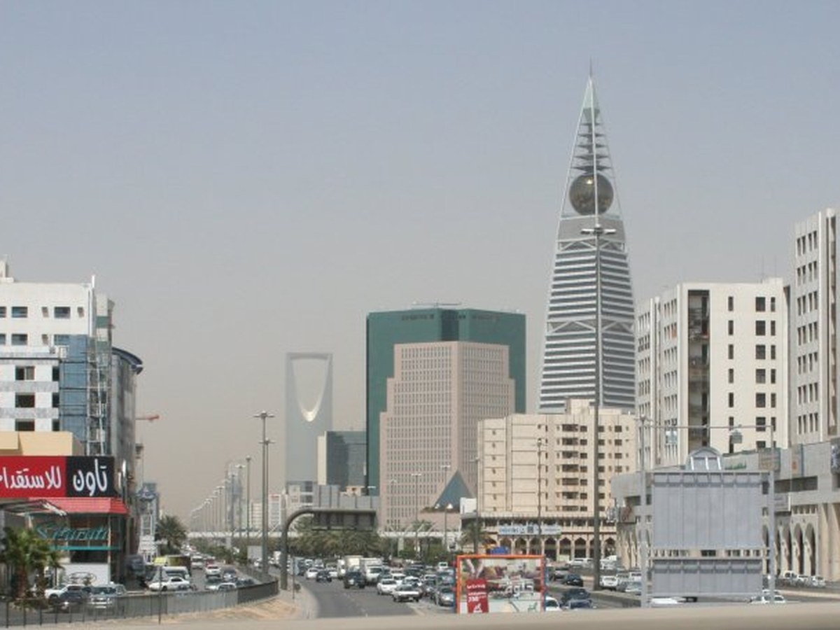

More historic sites




Frequently asked questions
What is Hegra?
Hegra, also known as Mada'in Salih, is an archaeological site located in the area of Al-'Ula within Medina Province in the Hejaz region, Saudi Arabia.
Where is Hegra located?
Hegra is in Al-Ula, Saudi Arabia. Its coordinates are 26.8142° N, 37.9475° E.
How do I get to Hegra?
The nearest town is Al-Ula, and the nearest airport is Prince Abdul Majeed bin Abdulaziz Airport (ULH), about 25.3 miles away (straight line).
What is the history of Hegra?
Recent archaeological work has revealed numerous rock writings and pictures not only on Mount Athleb, but also throughout central Arabia. They date between the sixth century BC and the fourth century AD and are labelled as being Thamudic, a name invented by nineteenth-century scholars for these large numbers of inscriptions which had not yet been properly studied.
Sources
- https://en.wikipedia.org/wiki/Hegra — Wikipedia article — overview, history and core facts (CC BY-SA).
- https://www.wikidata.org/wiki/Q27356 — Wikidata — built year, architect, height/size, visitors, official website (CC0).
- https://www.experiencealula.com — Official website of the landmark / managing body.
- https://github.com/jbrooksuk/JSON-Airports — Nearest major airport computed from landmark and airport coordinates (haversine); airport list: jbrooksuk/JSON-Airports.
Page last updated 13 November 2026.