
Historic Site · San Juan Teotihuacán, Mexico
Teotihuacan
Teotihuacan is an ancient Mesoamerican city located in a sub-valley of the Valley of Mexico, which is located in the State of Mexico, 4. Built c. 181 BC. It drew 1,785,275 visitors in 2025.
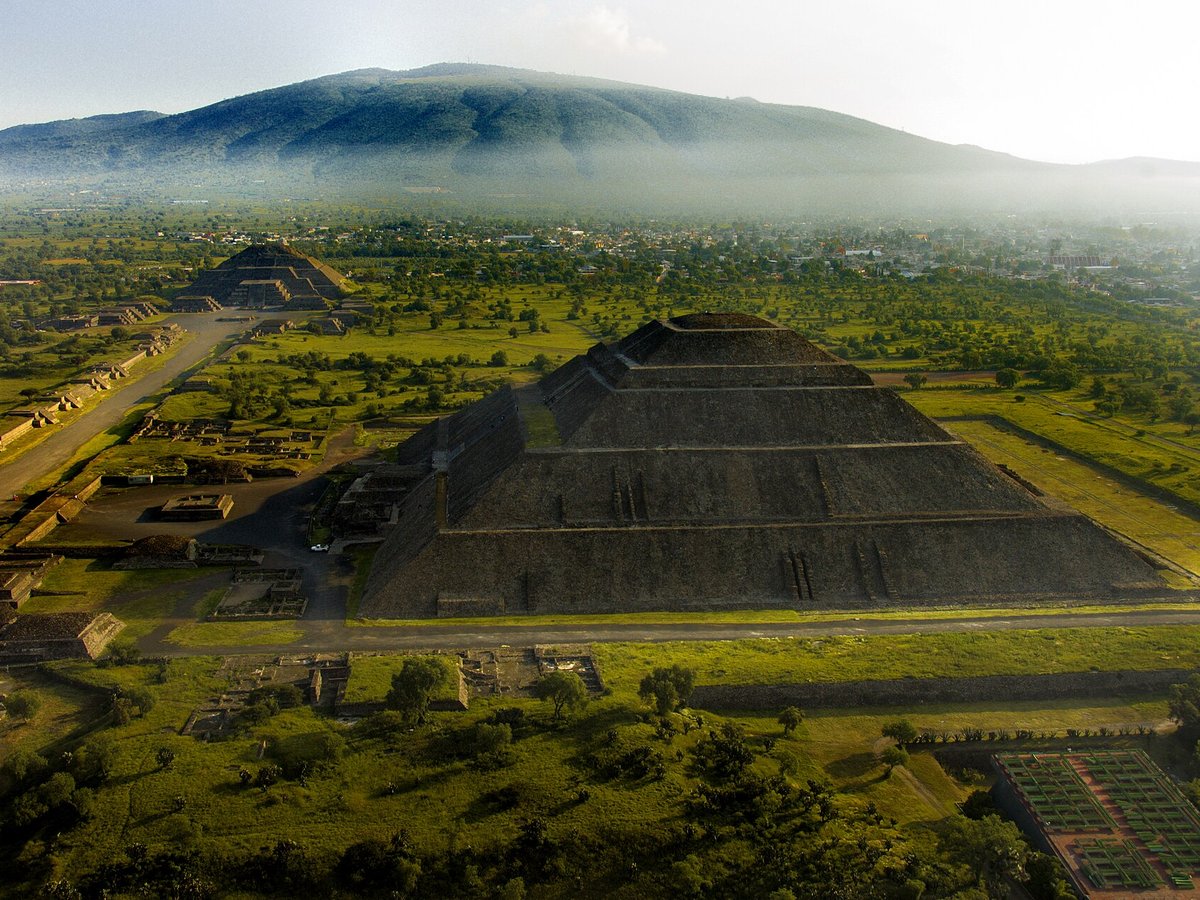
Photo: Hdlrosa via Wikimedia Commons, CC BY-SA 4.0. Cropped and resized for display.
Landmark facts
| Location | San Juan Teotihuacán, Mexico |
|---|---|
| Type | Historic Site |
| Built | c. 181 BC |
| Area | Area: 31.182 km² |
| Annual visitors (2025) | 1,785,275 |
| Coordinates | 19.6925° N, 98.8439° W |
Every fact above is taken from the sources listed below; anything no source states is left blank rather than guessed.
What Teotihuacan is known for
Teotihuacan is an ancient Mesoamerican city located in a sub-valley of the Valley of Mexico, which is located in the State of Mexico, 4.
About Teotihuacan
Teotihuacan is an ancient Mesoamerican city located in a sub-valley of the Valley of Mexico, which is located in the State of Mexico, 40 kilometers (25 mi) northeast of modern-day Mexico City. Teotihuacan is known today as the site of many of the most architecturally significant Mesoamerican pyramids built in the pre-Columbian Americas, namely the Pyramid of the Sun and the Pyramid of the Moon. Although close to Mexico City, Teotihuacan was not a Mexica (i.e.
History
The first human establishment in the Teotihuacan area dates back to 600 BCE, and until 200 BCE the site consisted of scattered small villages. The total estimated population of the Teotihuacan Valley during this time was approximately 6,000. From 100 BCE to 750 CE, Teotihuacan evolved into a huge urban and administrative center with cultural influences throughout the broader Mesoamerica region.
Planning a visit? Visit the official Teotihuacan website — the official site has the current visiting information.
How to get there
| Nearest town | San Juan Teotihuacán |
|---|---|
| Nearest airport | Licenciado Benito Juarez International Airport (MEX) |
| Distance from the airport | 23.2 miles (straight line) |
Nearest major airport by straight-line distance from the landmark’s coordinates; road distance will be longer.
Airports near this landmark
The airports a visitor would actually fly into, nearest first — each link opens its profile on our sister site AirportProfiles.
- Felipe Ángeles International Airport (NLU) · Mexico City, Mexico · 11.7 miles away
- Mexico City Benito Juárez International Airport (MEX) · Mexico City, Mexico · 23.1 miles away
- Hermanos Serdán International Airport (PBC) · Puebla, Mexico · 48.0 miles away
Landmarks nearby
The closest landmarks in this library, by straight-line distance.
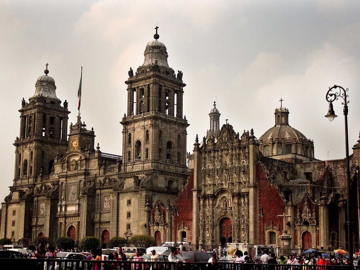
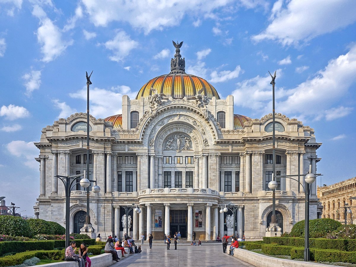
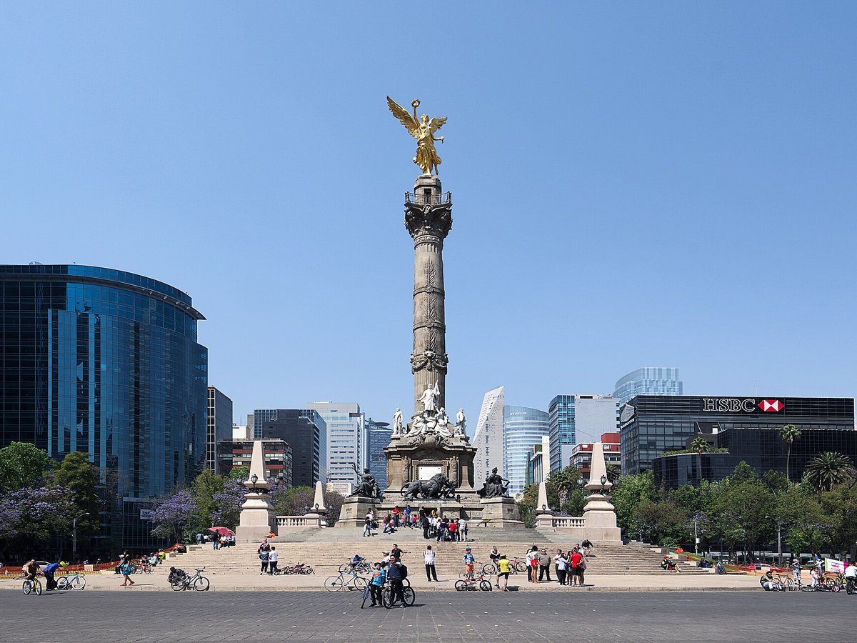
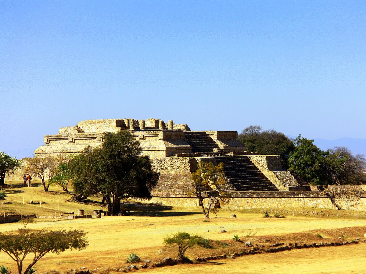
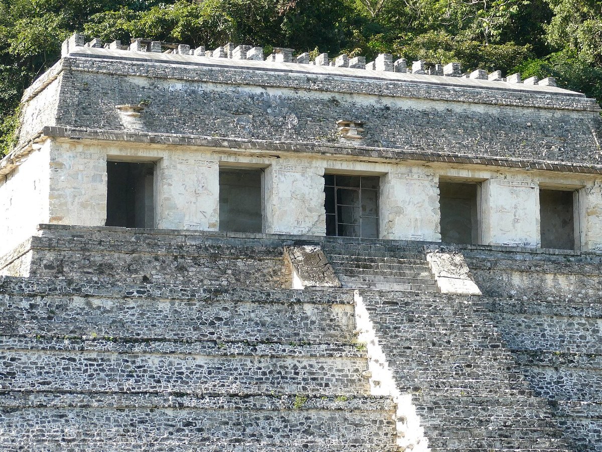
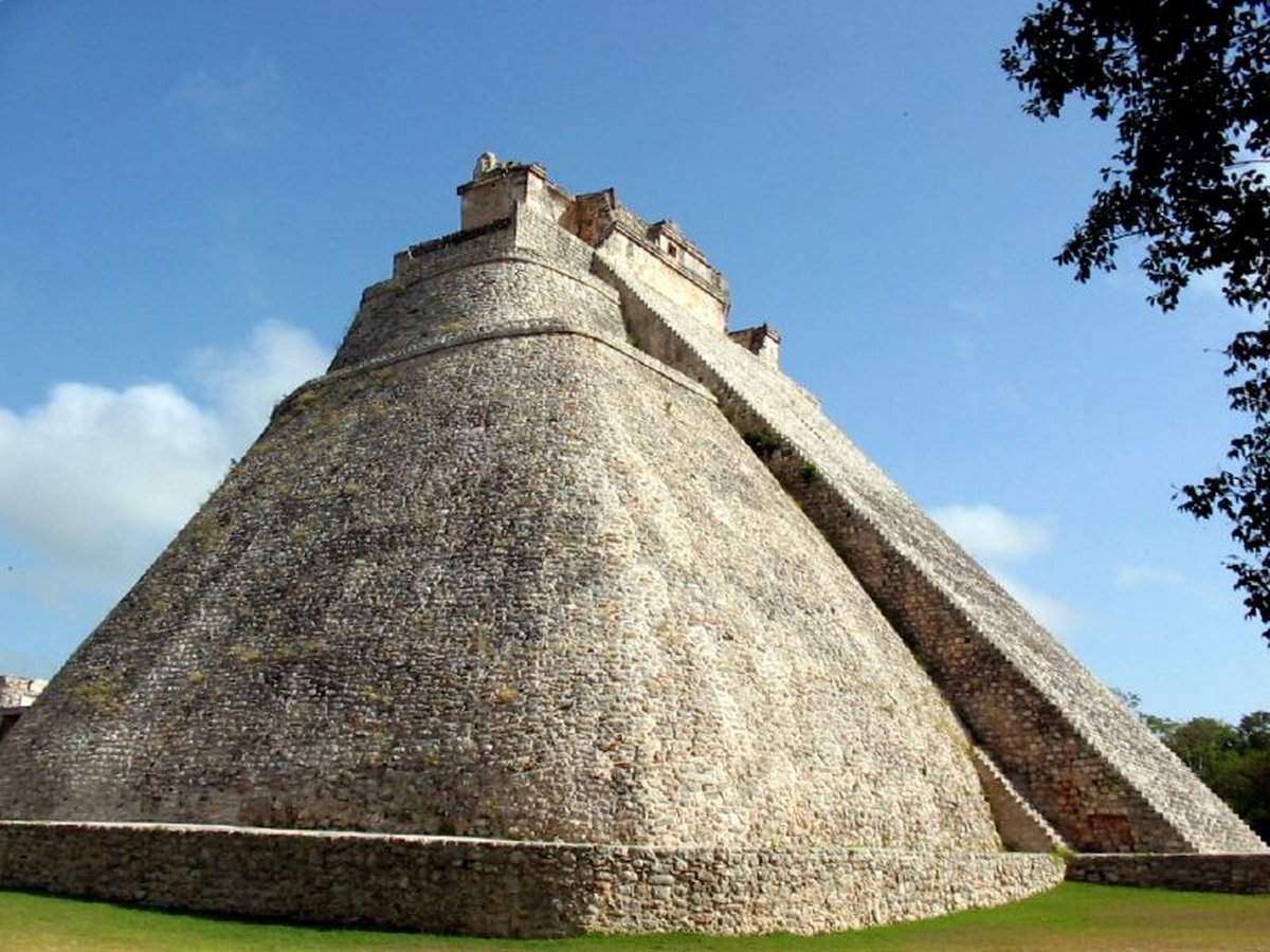
More landmarks in Mexico
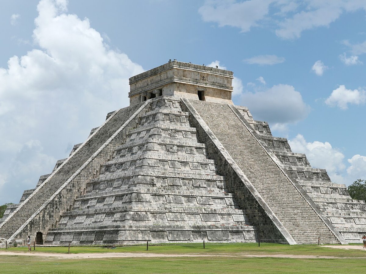
More historic sites





Frequently asked questions
What is Teotihuacan?
Teotihuacan is an ancient Mesoamerican city located in a sub-valley of the Valley of Mexico, which is located in the State of Mexico, 4.
Where is Teotihuacan located?
Teotihuacan is in San Juan Teotihuacán, Mexico. Its coordinates are 19.6925° N, 98.8439° W.
How do I get to Teotihuacan?
The nearest town is San Juan Teotihuacán, and the nearest airport is Licenciado Benito Juarez International Airport (MEX), about 23.2 miles away (straight line).
When was Teotihuacan built?
Teotihuacan was built c. 181 BC.
Sources
- https://en.wikipedia.org/wiki/Teotihuacan — Wikipedia article — overview, history and core facts (CC BY-SA).
- https://www.wikidata.org/wiki/Q172613 — Wikidata — built year, architect, height/size, visitors, official website (CC0).
- https://www.inah.gob.mx/zonas/23-zona-arqueologica-de-teotihuacan — Official website of the landmark / managing body.
- https://github.com/jbrooksuk/JSON-Airports — Nearest major airport computed from landmark and airport coordinates (haversine); airport list: jbrooksuk/JSON-Airports.
Page last updated 13 November 2026.