
Historic Site · Madrid, Spain
Plaza Mayor, Madrid
The Plaza Mayor (English: Main Square) is the principal public square in the heart of Madrid, the capital of Spain.
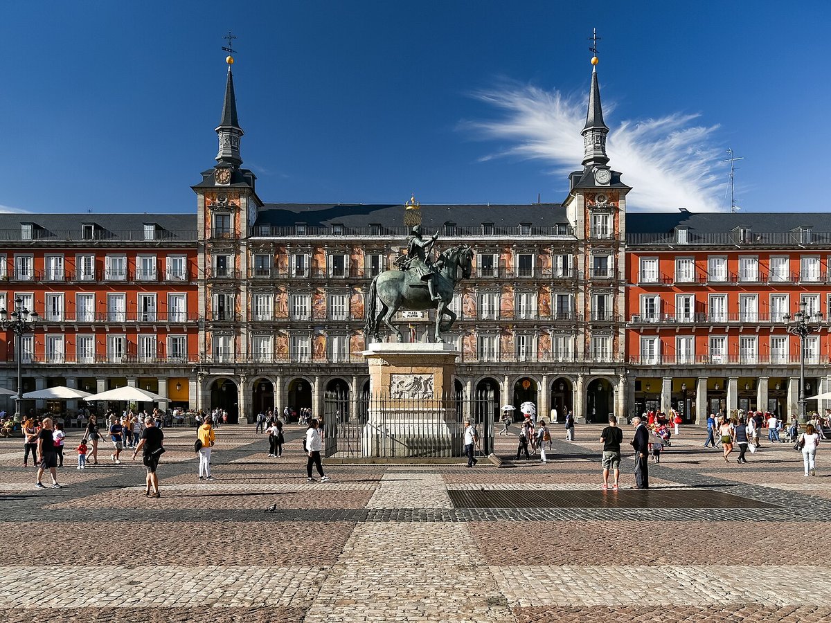
Photo: Jorge Franganillo via Wikimedia Commons, CC BY 2.0. Cropped and resized for display.
Landmark facts
| Location | Madrid, Spain |
|---|---|
| Type | Historic Site |
| Architect | Juan de Herrera |
| Coordinates | 40.4154° N, 3.7074° W |
Every fact above is taken from the sources listed below; anything no source states is left blank rather than guessed.
What Plaza Mayor, Madrid is known for
The Plaza Mayor (English: Main Square) is the principal public square in the heart of Madrid, the capital of Spain.
About Plaza Mayor, Madrid
The Plaza Mayor (English: Main Square) is the principal public square in the heart of Madrid, the capital of Spain. It was once the centre of Old Madrid. It was first built (1580–1619) during the reign of Philip III.
History
The Plaza Mayor of Madrid traces its origins to the 15th century, when it was known as the Plaza del Arrabal and served as the town’s main marketplace. In 1561, the site came under the jurisdiction of the city of Madrid. During the reign of Philip II, the architect Juan de Herrera was commissioned to redesign the area in the Classical style.
How to get there
| Nearest town | Madrid |
|---|---|
| Nearest airport | Madrid Barajas International Airport (MAD) |
| Distance from the airport | 8.0 miles (straight line) |
Nearest major airport by straight-line distance from the landmark’s coordinates; road distance will be longer.
Airports near this landmark
The airports a visitor would actually fly into, nearest first — each link opens its profile on our sister site AirportProfiles.
- Adolfo Suárez Madrid–Barajas Airport (MAD) · Madrid, Spain · 8.9 miles away
Landmarks nearby
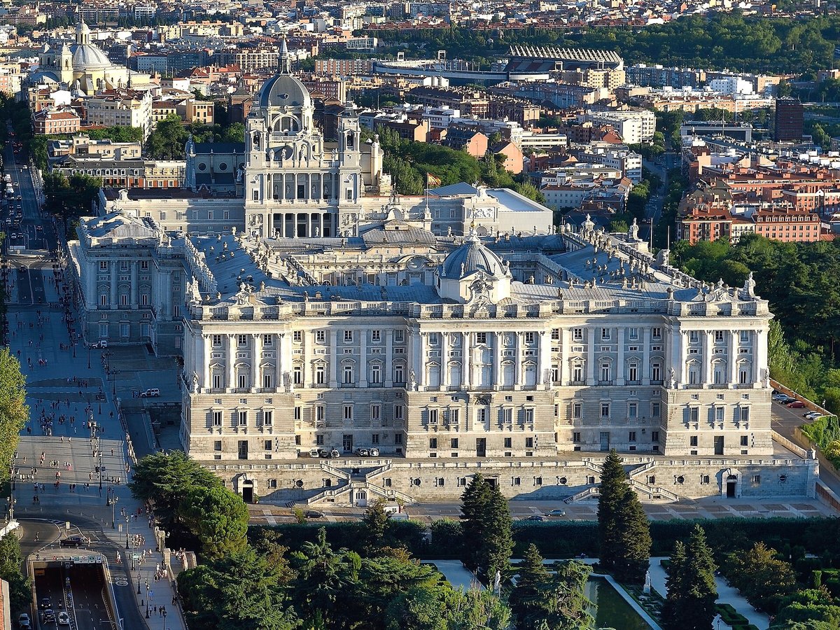
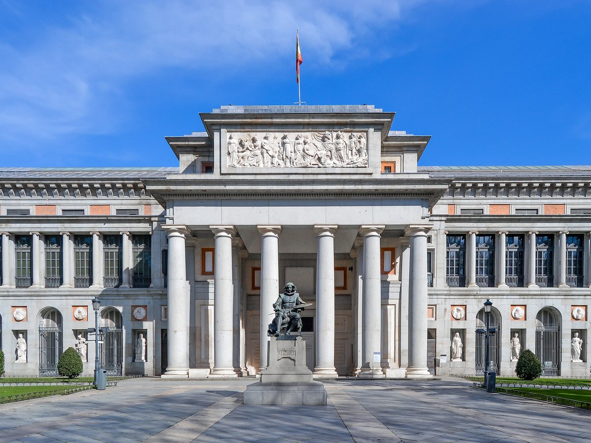
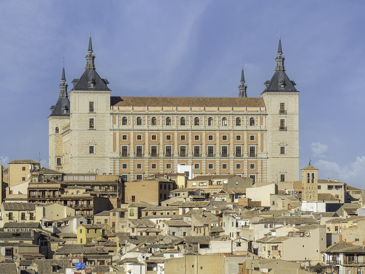
The closest landmarks in this library, by straight-line distance.
More landmarks in Spain
More historic sites





Frequently asked questions
What is Plaza Mayor, Madrid?
The Plaza Mayor (English: Main Square) is the principal public square in the heart of Madrid, the capital of Spain.
Where is Plaza Mayor, Madrid located?
Plaza Mayor, Madrid is in Madrid, Spain. Its coordinates are 40.4154° N, 3.7074° W.
How do I get to Plaza Mayor, Madrid?
The nearest town is Madrid, and the nearest airport is Madrid Barajas International Airport (MAD), about 8.0 miles away (straight line).
What is the history of Plaza Mayor, Madrid?
The Plaza Mayor of Madrid traces its origins to the 15th century, when it was known as the Plaza del Arrabal and served as the town’s main marketplace. In 1561, the site came under the jurisdiction of the city of Madrid.
Sources
- https://en.wikipedia.org/wiki/Plaza_Mayor,_Madrid — Wikipedia article — overview, history and core facts (CC BY-SA).
- https://www.wikidata.org/wiki/Q1123493 — Wikidata — built year, architect, height/size, visitors, official website (CC0).
- https://github.com/jbrooksuk/JSON-Airports — Nearest major airport computed from landmark and airport coordinates (haversine); airport list: jbrooksuk/JSON-Airports.
Page last updated 13 November 2026.