
Historic Site · Panama City, Panama
Panama Canal
The Panama Canal (Spanish: Canal de Panamá) is an artificial 82-kilometer (51-mile) waterway in Panama that connects the Caribbean Sea in the Atlantic Ocean with the P. Built 1914.
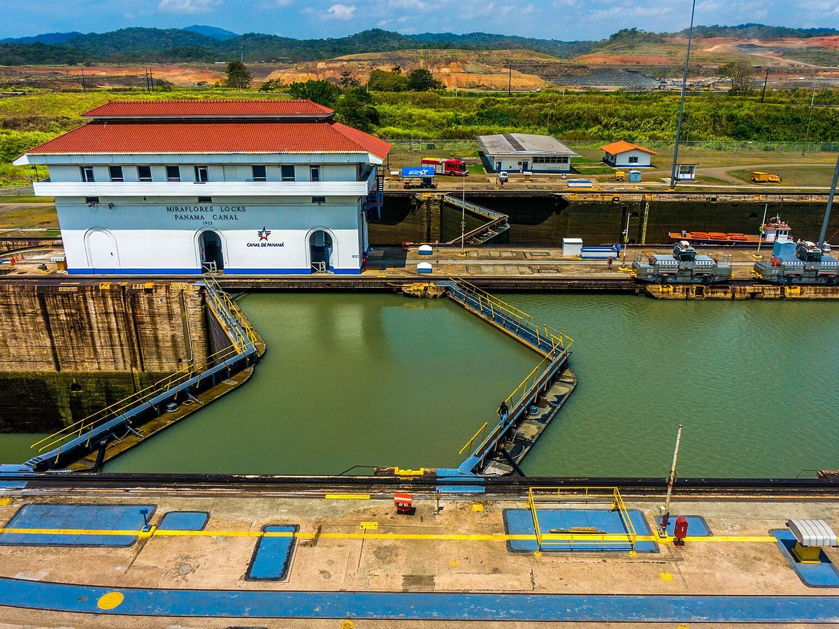
Photo: GameOfLight via Wikimedia Commons, CC BY-SA 3.0. Cropped and resized for display.
Landmark facts
| Location | Panama City, Panama |
|---|---|
| Type | Historic Site |
| Built | 1914 |
| Length | Length: 82 km |
| Coordinates | 9.1200° N, 79.7500° W |
Every fact above is taken from the sources listed below; anything no source states is left blank rather than guessed.
What Panama Canal is known for
The Panama Canal (Spanish: Canal de Panamá) is an artificial 82-kilometer (51-mile) waterway in Panama that connects the Caribbean Sea in the Atlantic Ocean with the P.
About Panama Canal
The Panama Canal (Spanish: Canal de Panamá) is an artificial 82-kilometer (51-mile) waterway in Panama that connects the Caribbean Sea in the Atlantic Ocean with the Pacific Ocean. It cuts across the narrowest point of the Isthmus of Panama and is a conduit for maritime trade between the Atlantic Ocean and the Pacific Ocean. Locks at each end lift ships up to Gatun Lake, an artificial fresh water lake 26 meters (85 ft) above sea level, created by damming the Chagres River and Lake Alajuela to reduce the amount of excavation work required for the canal.
History
The idea of the Panama Canal dates back to 1513, when the Spanish conquistador Vasco Núñez de Balboa (c.1475–1519) first crossed the Isthmus of Panama. He wrote in his journal the possibility of a canal but did not take action. European powers soon noticed the possibility of digging a water passage between the Atlantic and Pacific Oceans across this narrow land bridge between North and South America.
How to get there
| Nearest town | Panama City |
|---|---|
| Nearest airport | Marcos A. Gelabert International Airport (PAC) |
| Distance from the airport | 16.8 miles (straight line) |
Nearest major airport by straight-line distance from the landmark’s coordinates; road distance will be longer.
Airports near this landmark
The airports a visitor would actually fly into, nearest first — each link opens its profile on our sister site AirportProfiles.
- Tocumen International Airport (PTY) · Tocumen, Panama · 25.2 miles away
Landmarks nearby
The closest landmarks in this library, by straight-line distance.
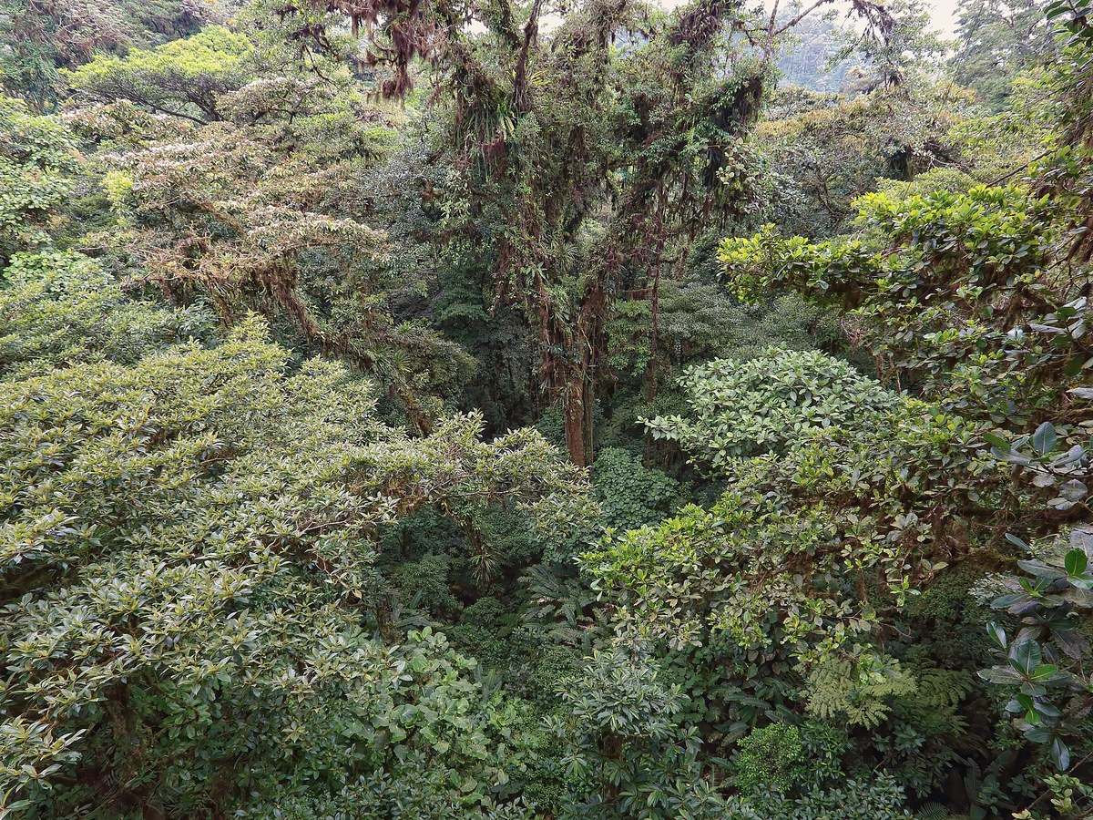
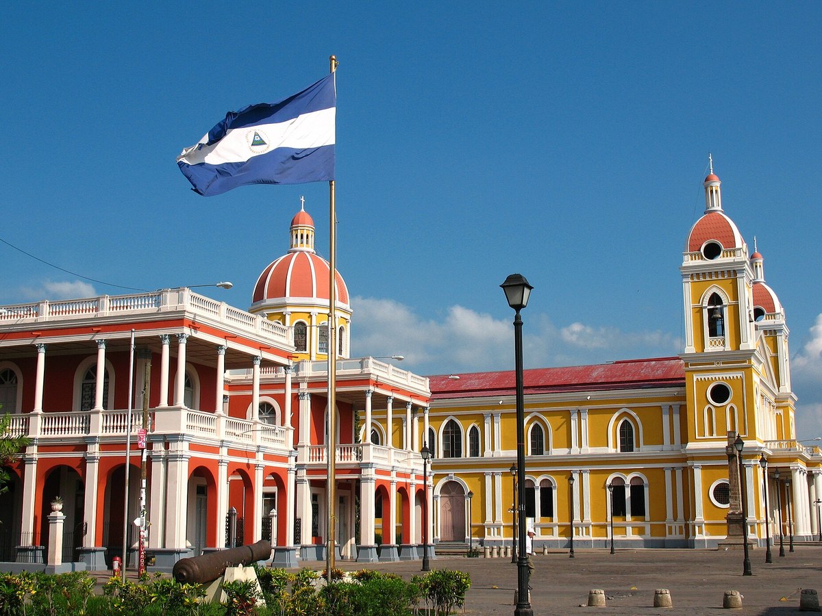
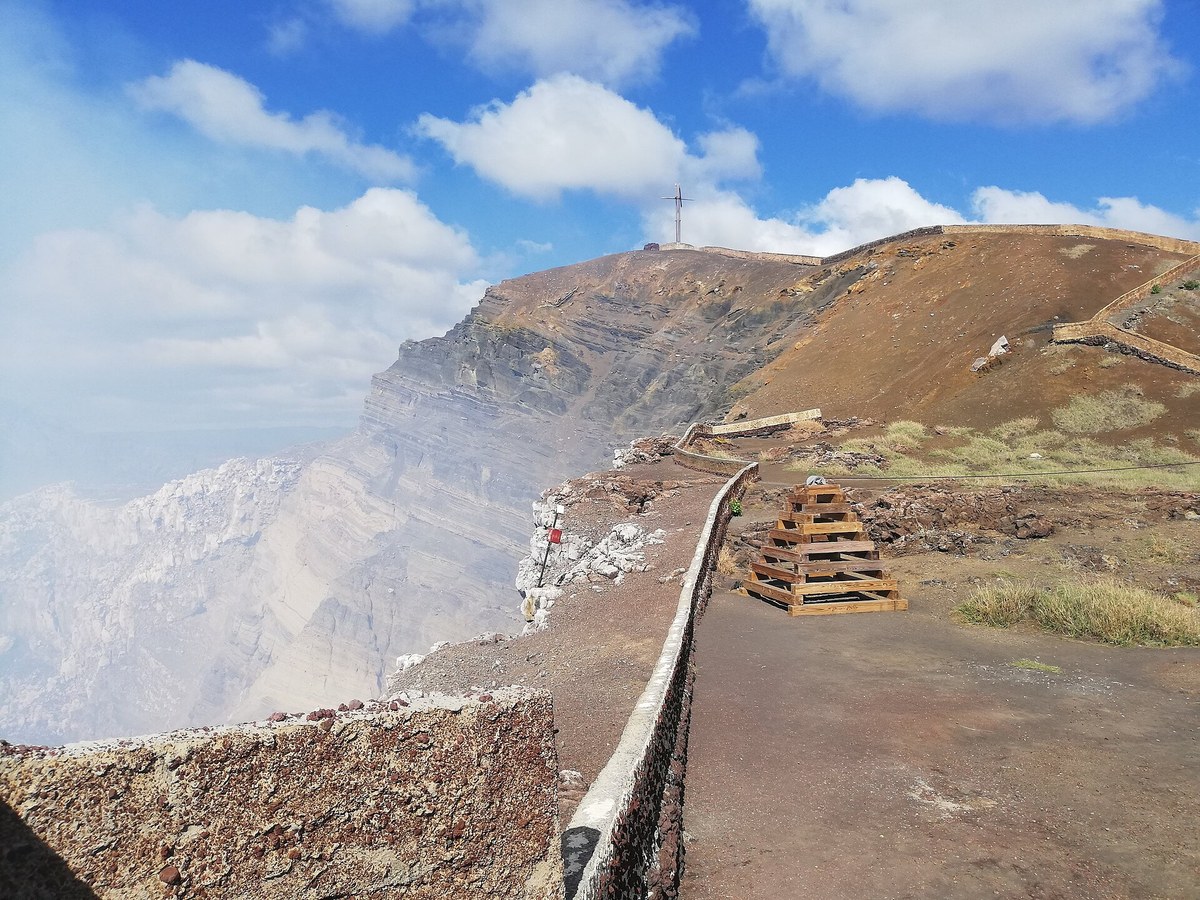
More historic sites





Frequently asked questions
What is Panama Canal?
The Panama Canal (Spanish: Canal de Panamá) is an artificial 82-kilometer (51-mile) waterway in Panama that connects the Caribbean Sea in the Atlantic Ocean with the P.
Where is Panama Canal located?
Panama Canal is in Panama City, Panama. Its coordinates are 9.1200° N, 79.7500° W.
How do I get to Panama Canal?
The nearest town is Panama City, and the nearest airport is Marcos A. Gelabert International Airport (PAC), about 16.8 miles away (straight line).
When was Panama Canal built?
Panama Canal was built 1914.
Sources
- https://en.wikipedia.org/wiki/Panama_Canal — Wikipedia article — overview, history and core facts (CC BY-SA).
- https://www.wikidata.org/wiki/Q7350 — Wikidata — built year, architect, height/size, visitors, official website (CC0).
- https://github.com/jbrooksuk/JSON-Airports — Nearest major airport computed from landmark and airport coordinates (haversine); airport list: jbrooksuk/JSON-Airports.
Page last updated 13 November 2026.