
Natural Wonder · Masaya, Nicaragua
Masaya Volcano
Masaya, also known historically by its aboriginal name Popogatepe in Nawat, is a caldera located in Masaya, Nicaragua, 20 km (12 mi) south of the capital Managua.
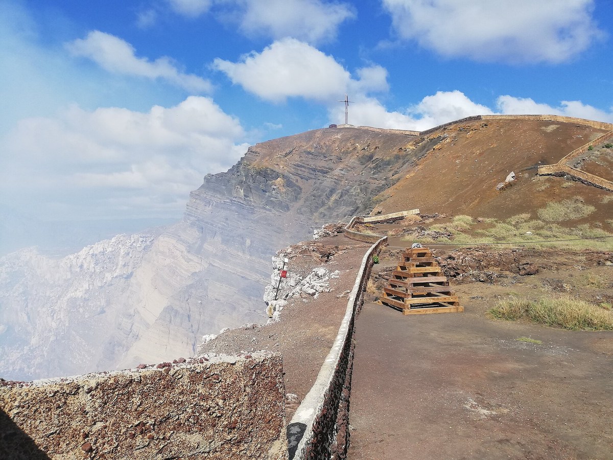
Photo: Chicho96 via Wikimedia Commons, CC BY-SA 4.0. Cropped and resized for display.
Landmark facts
| Location | Masaya, Nicaragua |
|---|---|
| Type | Natural Wonder |
| Elevation | Elevation: 635 m |
| Coordinates | 11.9828° N, 86.1619° W |
Every fact above is taken from the sources listed below; anything no source states is left blank rather than guessed.
What Masaya Volcano is known for
Masaya, also known historically by its aboriginal name Popogatepe in Nawat, is a caldera located in Masaya, Nicaragua, 20 km (12 mi) south of the capital Managua.
About Masaya Volcano
Masaya, also known historically by its aboriginal name Popogatepe in Nawat, is a caldera located in Masaya, Nicaragua, 20 km (12 mi) south of the capital Managua. It is Nicaragua's first and largest national park, and one of 78 protected areas of Nicaragua. The complex volcano is composed of a nested set of calderas and craters, the largest of which is Las Sierras shield volcano and caldera.
History
Only two lava flows have erupted since the sixteenth century: the first, in 1670, was an overflow from the Nindiri crater, and the other, in 1772, issued from a fissure on the flank of the Masaya cone. Since 1772, lava has appeared at the surface only in the Santiago pit crater, which is presently active and persistently degassing. A number of discrete explosive events have occurred in the last 50 years, including eruptions in 1999, 2001, 2003 and 2008.
How to get there
| Nearest town | Masaya |
|---|---|
| Nearest airport | Augusto C. Sandino (Managua) International Airport (MGA) |
| Distance from the airport | 11.2 miles (straight line) |
Nearest major airport by straight-line distance from the landmark’s coordinates; road distance will be longer.
Airports near this landmark
The airports a visitor would actually fly into, nearest first — each link opens its profile on our sister site AirportProfiles.
- Augusto C. Sandino (Managua) International Airport (MGA) · Managua, Nicaragua · 11.0 miles away
- Daniel Oduber Quirós International Airport (LIR) · Liberia, Costa Rica · 104.7 miles away
Landmarks nearby
The closest landmarks in this library, by straight-line distance.
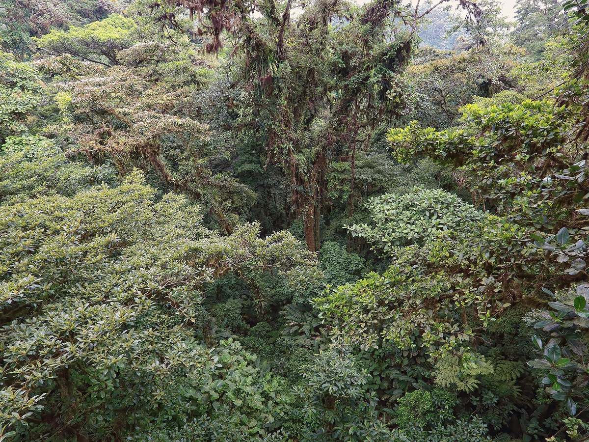
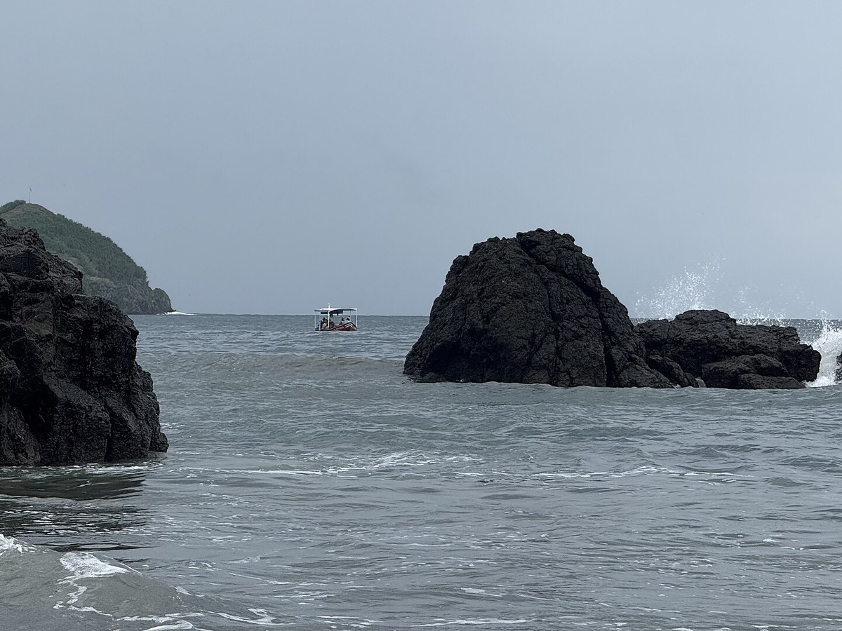
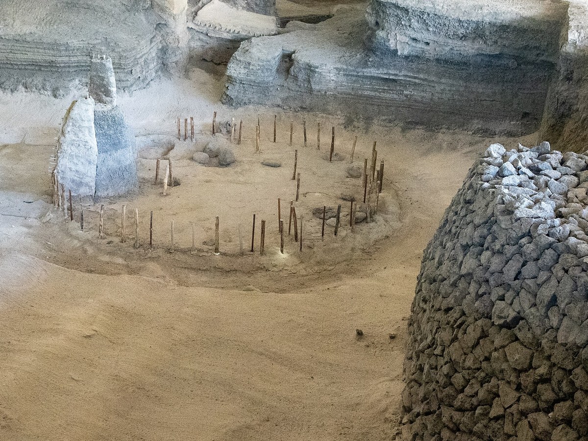
More landmarks in Nicaragua
More natural wonders
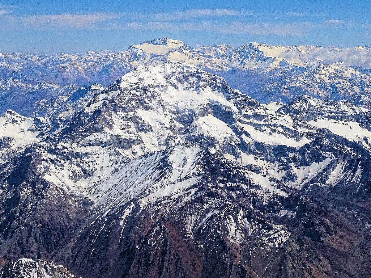

Frequently asked questions
What is Masaya Volcano?
Masaya, also known historically by its aboriginal name Popogatepe in Nawat, is a caldera located in Masaya, Nicaragua, 20 km (12 mi) south of the capital Managua.
Where is Masaya Volcano located?
Masaya Volcano is in Masaya, Nicaragua. Its coordinates are 11.9828° N, 86.1619° W.
How do I get to Masaya Volcano?
The nearest town is Masaya, and the nearest airport is Augusto C. Sandino (Managua) International Airport (MGA), about 11.2 miles away (straight line).
What is the history of Masaya Volcano?
Only two lava flows have erupted since the sixteenth century: the first, in 1670, was an overflow from the Nindiri crater, and the other, in 1772, issued from a fissure on the flank of the Masaya cone. Since 1772, lava has appeared at the surface only in the Santiago pit crater, which is presently active and persistently degassing.
Sources
- https://en.wikipedia.org/wiki/Masaya_Volcano — Wikipedia article — overview, history and core facts (CC BY-SA).
- https://www.wikidata.org/wiki/Q613424 — Wikidata — built year, architect, height/size, visitors, official website (CC0).
- https://github.com/jbrooksuk/JSON-Airports — Nearest major airport computed from landmark and airport coordinates (haversine); airport list: jbrooksuk/JSON-Airports.
Page last updated 13 November 2026.