
Historic Site · Mont Saint-Michel, France
Mont Saint-Michel
Mont-Saint-Michel is a tidal island and mainland commune in Normandy, France.
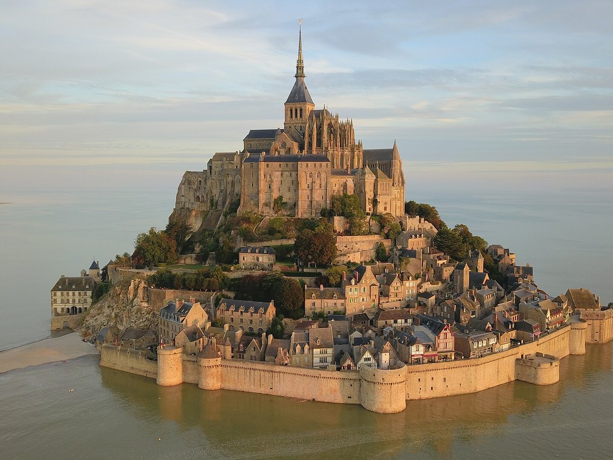
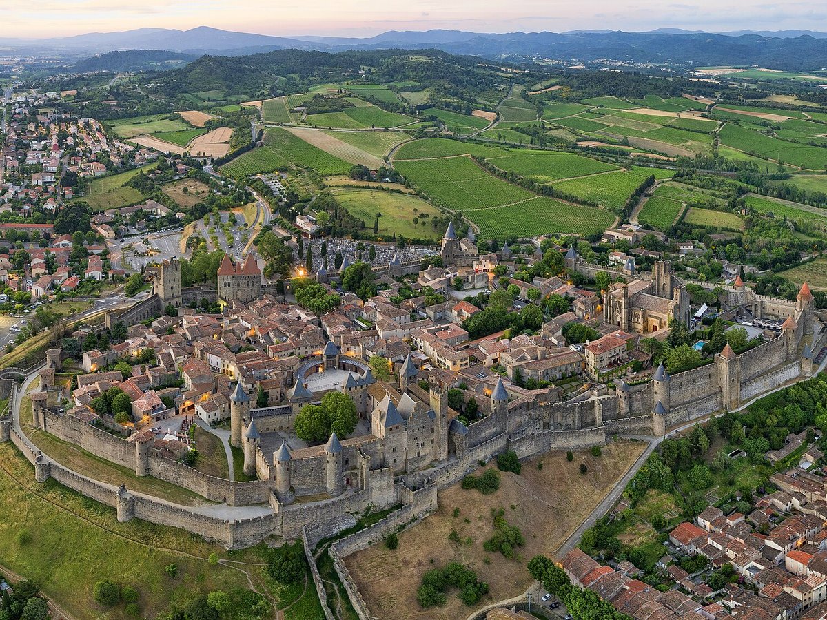
Photo: Amaustan via Wikimedia Commons, CC BY-SA 4.0. Cropped and resized for display.
Landmark facts
| Location | Mont Saint-Michel, France |
|---|---|
| Type | Historic Site |
| Elevation | Elevation: 5 m |
| Coordinates | 48.6360° N, 1.5110° W |
Every fact above is taken from the sources listed below; anything no source states is left blank rather than guessed.
What Mont Saint-Michel is known for
Mont-Saint-Michel is a tidal island and mainland commune in Normandy, France.
About Mont Saint-Michel
Mont-Saint-Michel is a tidal island and mainland commune in Normandy, France. The island lies approximately one kilometre (half a nautical mile) off France's north-western coast, at the mouth of the Couesnon River near Avranches and is 7 hectares (17 acres) in area. The mainland part of the commune is 393 hectares (971 acres) in area so that the total surface of the commune is 400 hectares (990 acres).
History
8th century onward Before the construction of the first monastic establishment in the 8th century, the island was called Mont Tombe (Latin: tumba). According to a legend, the archangel Michael appeared in 708 to Aubert of Avranches, the bishop of Avranches, and instructed him to build a church on the rocky islet. Unable to defend his kingdom against the assaults of the Vikings, the king of the Franks agreed to grant the Cotentin Peninsula and the Avranchin, including Mont-Saint-Michel traditionally linked to the city of Avranches, to the Bretons in the Treaty of Compiègne.
Planning a visit? Visit the official Mont Saint-Michel website — the official site has the current visiting information.
How to get there
| Nearest town | Mont Saint-Michel |
|---|---|
| Nearest airport | Granville Airport (GFR) |
| Distance from the airport | 17.3 miles (straight line) |
Nearest major airport by straight-line distance from the landmark’s coordinates; road distance will be longer.
Airports near this landmark
The airports a visitor would actually fly into, nearest first — each link opens its profile on our sister site AirportProfiles.
- Nantes Atlantique Airport (NTE) · Nantes, France · 102.6 miles away
- Brest Bretagne airport (BES) · Brest, France · 133.6 miles away
Landmarks nearby
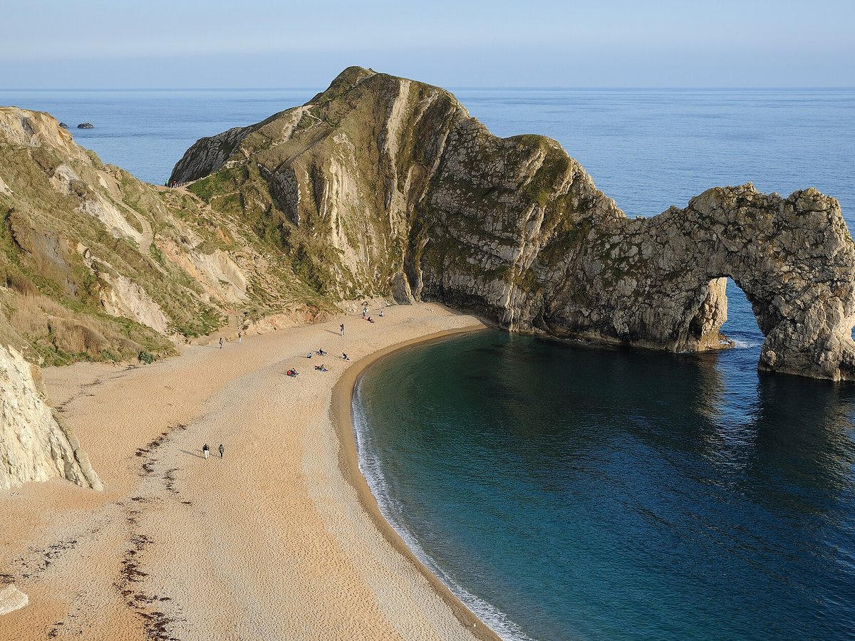
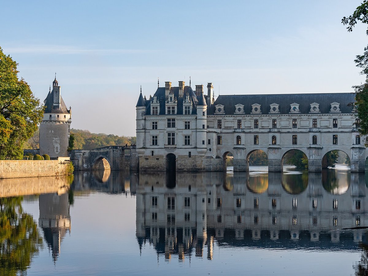
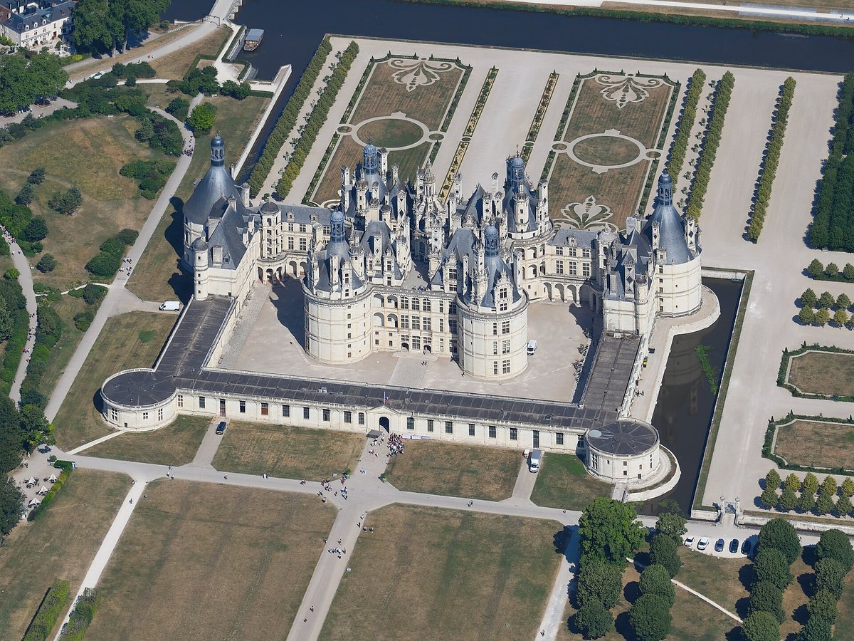
The closest landmarks in this library, by straight-line distance.
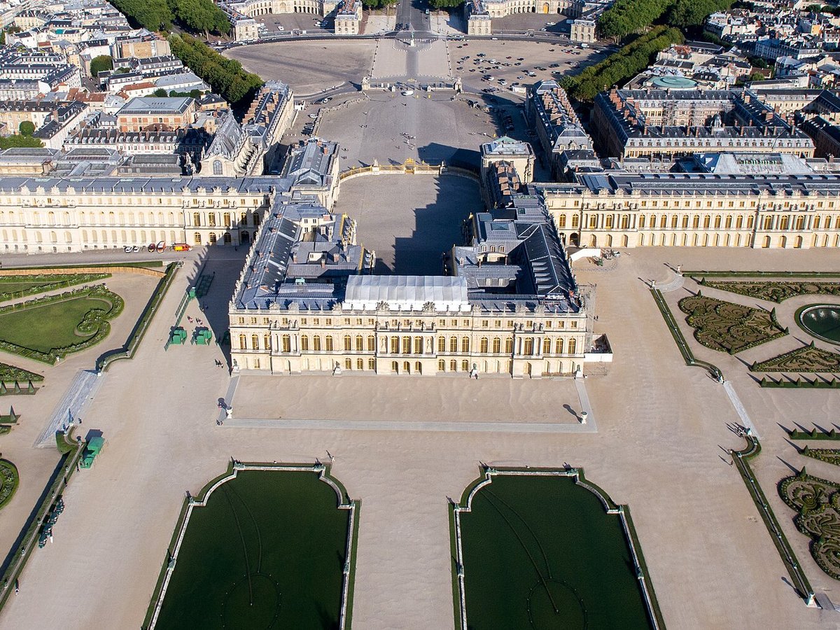
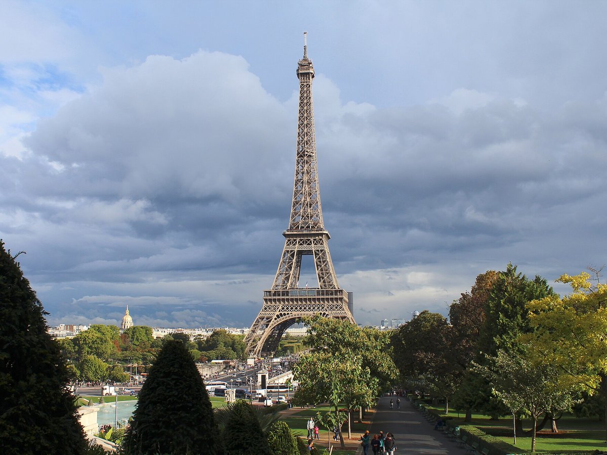
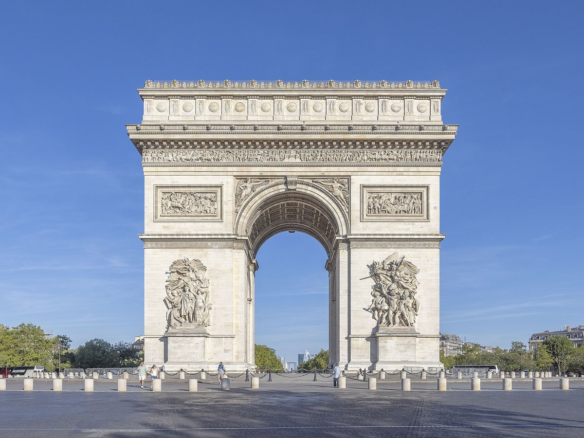
More landmarks in France
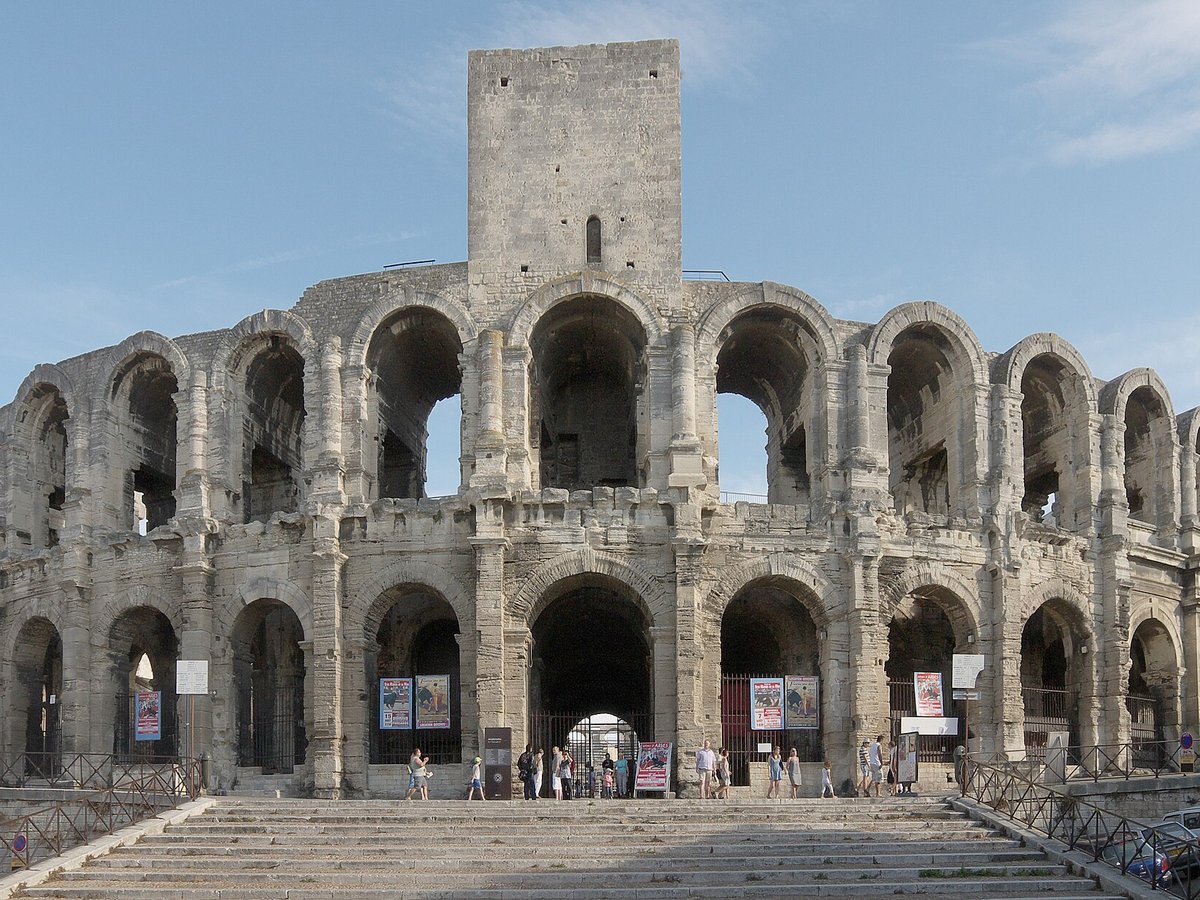

More historic sites





Frequently asked questions
What is Mont Saint-Michel?
Mont-Saint-Michel is a tidal island and mainland commune in Normandy, France.
Where is Mont Saint-Michel located?
Mont Saint-Michel is in Mont Saint-Michel, France. Its coordinates are 48.6360° N, 1.5110° W.
How do I get to Mont Saint-Michel?
The nearest town is Mont Saint-Michel, and the nearest airport is Granville Airport (GFR), about 17.3 miles away (straight line).
What is the history of Mont Saint-Michel?
8th century onward Before the construction of the first monastic establishment in the 8th century, the island was called Mont Tombe (Latin: tumba). According to a legend, the archangel Michael appeared in 708 to Aubert of Avranches, the bishop of Avranches, and instructed him to build a church on the rocky islet.
Sources
- https://en.wikipedia.org/wiki/Mont-Saint-Michel — Wikipedia article — overview, history and core facts (CC BY-SA).
- https://www.wikidata.org/wiki/Q20892 — Wikidata — built year, architect, height/size, visitors, official website (CC0).
- https://mairie-lemontsaintmichel.fr/ — Official website of the landmark / managing body.
- https://github.com/jbrooksuk/JSON-Airports — Nearest major airport computed from landmark and airport coordinates (haversine); airport list: jbrooksuk/JSON-Airports.
Page last updated 13 November 2026.