
Historic Site · Carcassonne, France
Carcassonne Citadel
Carcassonne is a French city in the department of Aude, region of Occitania.
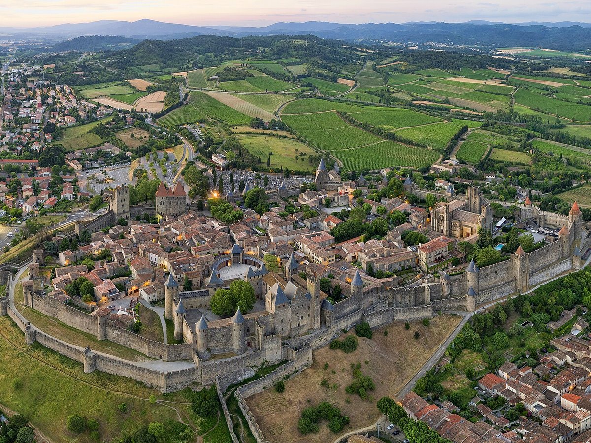
Photo: Chensiyuan via Wikimedia Commons, CC BY-SA 4.0. Cropped and resized for display.
Landmark facts
| Location | Carcassonne, France |
|---|---|
| Type | Historic Site |
| Elevation | Elevation: 81 m |
| Coordinates | 43.2133° N, 2.3508° E |
Every fact above is taken from the sources listed below; anything no source states is left blank rather than guessed.
What Carcassonne Citadel is known for
Carcassonne is a French city in the department of Aude, region of Occitania.
About Carcassonne Citadel
Carcassonne is a French city in the department of Aude, region of Occitania. It is the prefecture of the department. Inhabited since the Neolithic Period, Carcassonne is located in the plain of the Aude between historic trade routes, linking the Atlantic to the Mediterranean Sea and the Massif Central to the Pyrénées.
History
The first signs of settlement in this region have been dated to about 3500 BC, but the hill site of Carsac—a Celtic place-name that has been retained at other sites in the south—became an important trading place in the sixth century BC. The Volcae Tectosages fortified it and made it into an oppidum, a hill fort, which is when it was named "Carsac". The folk etymology—involving a châtelaine named Lady Carcas, a ruse ending a siege, and the joyous ringing of bells ("Carcas sona")—though memorialized in a neo-Gothic sculpture of Mme.
Planning a visit? Visit the official Carcassonne Citadel website — the official site has the current visiting information.
How to get there
| Nearest town | Carcassonne |
|---|---|
| Nearest airport | Carcassonne Airport (CCF) |
| Distance from the airport | 1.7 miles (straight line) |
Nearest major airport by straight-line distance from the landmark’s coordinates; road distance will be longer.
Airports near this landmark
The airports a visitor would actually fly into, nearest first — each link opens its profile on our sister site AirportProfiles.
- Toulouse-Blagnac Airport (TLS) · Toulouse/Blagnac, France · 57.3 miles away
- Montpellier-Méditerranée Airport (MPL) · Montpellier/Méditerranée, France · 84.7 miles away
- Girona-Costa Brava Airport (GRO) · Girona, Spain · 92.8 miles away
Landmarks nearby
The closest landmarks in this library, by straight-line distance.
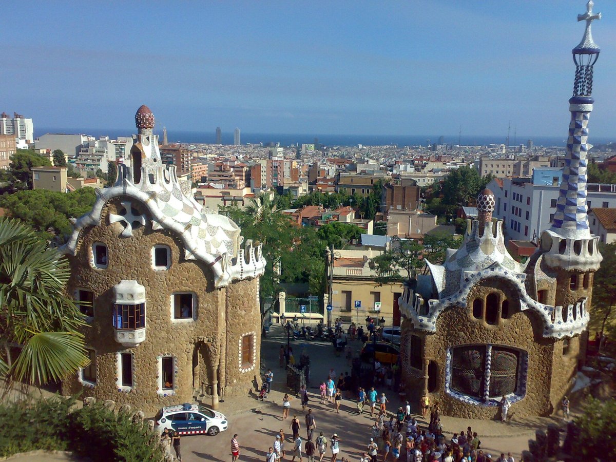
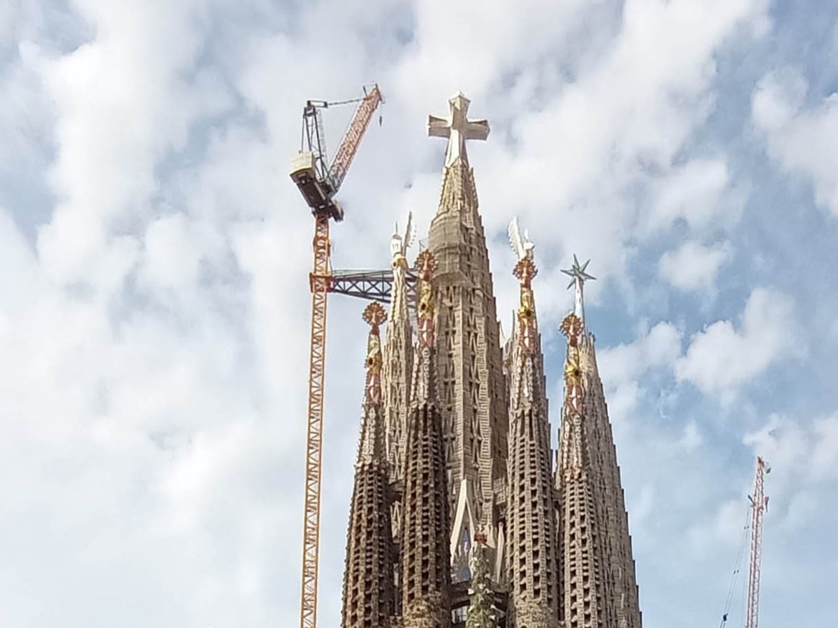
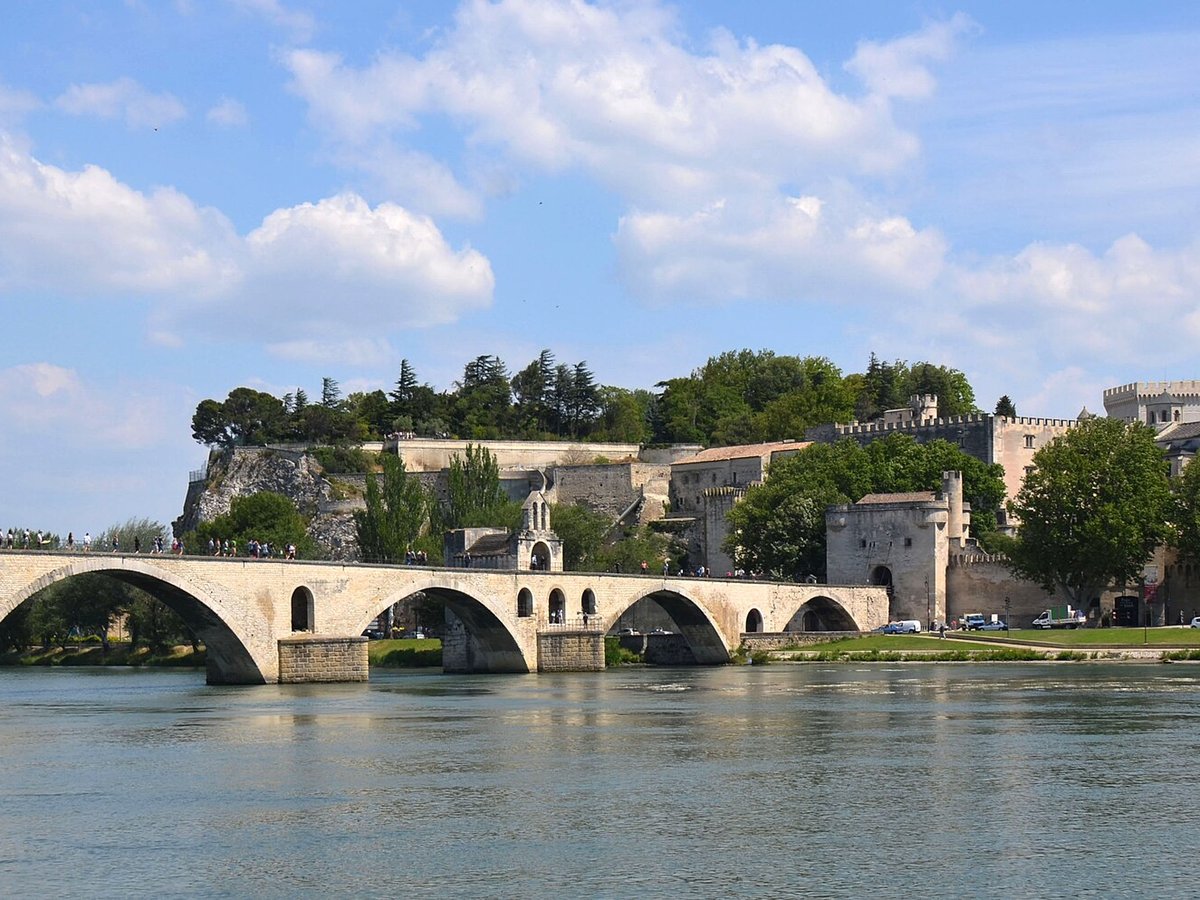
More landmarks in France
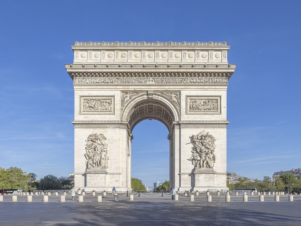
More historic sites





Frequently asked questions
What is Carcassonne Citadel?
Carcassonne is a French city in the department of Aude, region of Occitania.
Where is Carcassonne Citadel located?
Carcassonne Citadel is in Carcassonne, France. Its coordinates are 43.2133° N, 2.3508° E.
How do I get to Carcassonne Citadel?
The nearest town is Carcassonne, and the nearest airport is Carcassonne Airport (CCF), about 1.7 miles away (straight line).
What is the history of Carcassonne Citadel?
The first signs of settlement in this region have been dated to about 3500 BC, but the hill site of Carsac—a Celtic place-name that has been retained at other sites in the south—became an important trading place in the sixth century BC. The Volcae Tectosages fortified it and made it into an oppidum, a hill fort, which is when it was named "Carsac".
Sources
- https://en.wikipedia.org/wiki/Carcassonne — Wikipedia article — overview, history and core facts (CC BY-SA).
- https://www.wikidata.org/wiki/Q6582 — Wikidata — built year, architect, height/size, visitors, official website (CC0).
- http://www.carcassonne.org — Official website of the landmark / managing body.
- https://github.com/jbrooksuk/JSON-Airports — Nearest major airport computed from landmark and airport coordinates (haversine); airport list: jbrooksuk/JSON-Airports.
Page last updated 13 November 2026.