
Natural Wonder · Chamonix, France
Mont Blanc
Mont Blanc (UK: ; US: ) is a mountain in the Alps, rising 4,807.
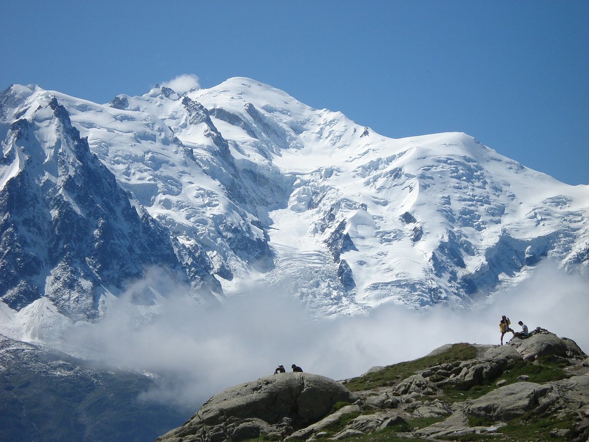
Photo: Hseugut via Wikimedia Commons, CC BY-SA 4.0. Cropped and resized for display.
Landmark facts
| Location | Chamonix, France |
|---|---|
| Type | Natural Wonder |
| Elevation | Elevation: 4807.02 m |
| Coordinates | 45.8328° N, 6.8650° E |
Every fact above is taken from the sources listed below; anything no source states is left blank rather than guessed.
What Mont Blanc is known for
Mont Blanc (UK: ; US: ) is a mountain in the Alps, rising 4,807.
About Mont Blanc
Mont Blanc (UK: ; US: ) is a mountain in the Alps, rising 4,807.3 m (15,771.9 ft) above sea level, located right at the Franco-Italian border. It is the highest mountain in Europe outside the Caucasus Mountains, the second-most prominent mountain in Europe (after Mount Elbrus in Russia), and the 11th most prominent mountain in the world. The mountain gives its name to its range, the Mont Blanc massif, which straddles parts of France, Italy, and Switzerland.
History
The Mont Blanc was the highest mountain of the Frankish Empire under Charlemagne and the highest mountain of the Holy Roman Empire until 1792. Pierre Martel's 1744 map and sketch of the Chamonix valley contains what is considered the first printed appearance of the name "Mont Blanc". In 1760, Swiss naturalist Horace-Bénédict de Saussure began to go to Chamonix to observe Mont Blanc.
How to get there
| Nearest town | Chamonix |
|---|---|
| Nearest airport | Aosta Airport (AOT) |
| Distance from the airport | 24.8 miles (straight line) |
Nearest major airport by straight-line distance from the landmark’s coordinates; road distance will be longer.
Airports near this landmark
The airports a visitor would actually fly into, nearest first — each link opens its profile on our sister site AirportProfiles.
- Geneva International Airport (GVA) · Geneva, Switzerland · 45.8 miles away
- Turin Airport (TRN) · Caselle Torinese (TO), Italy · 57.9 miles away
- Lyon Saint-Exupéry Airport (LYS) · Colombier-Saugnieu, Rhône, France · 85.8 miles away
Landmarks nearby
The closest landmarks in this library, by straight-line distance.
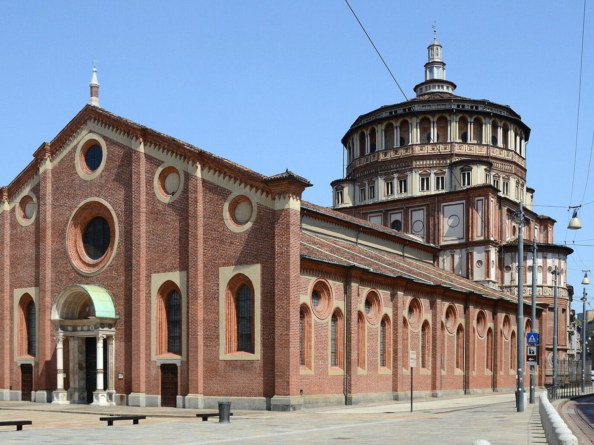
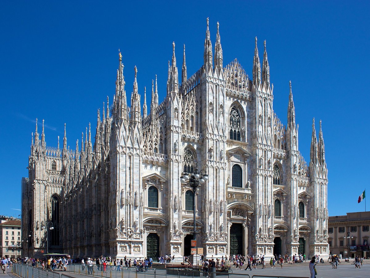
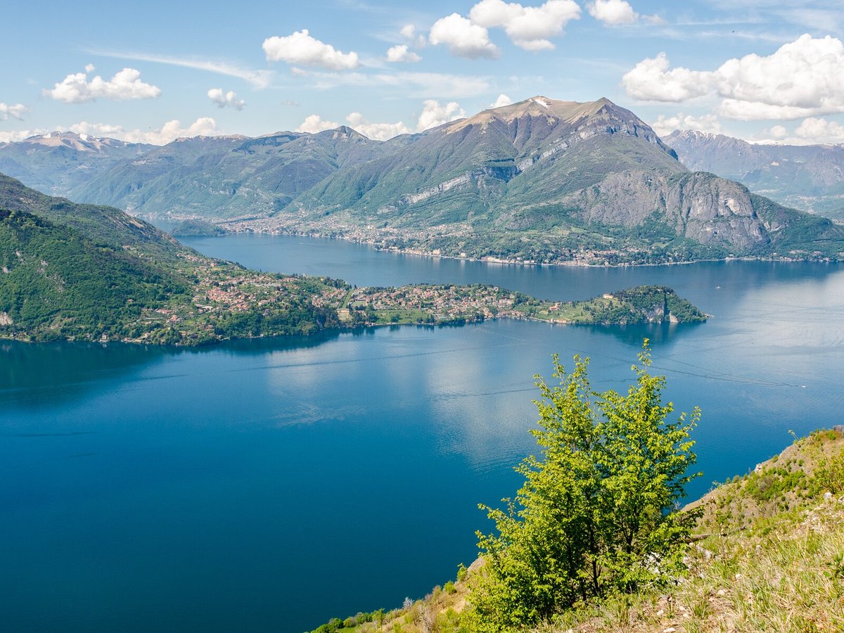
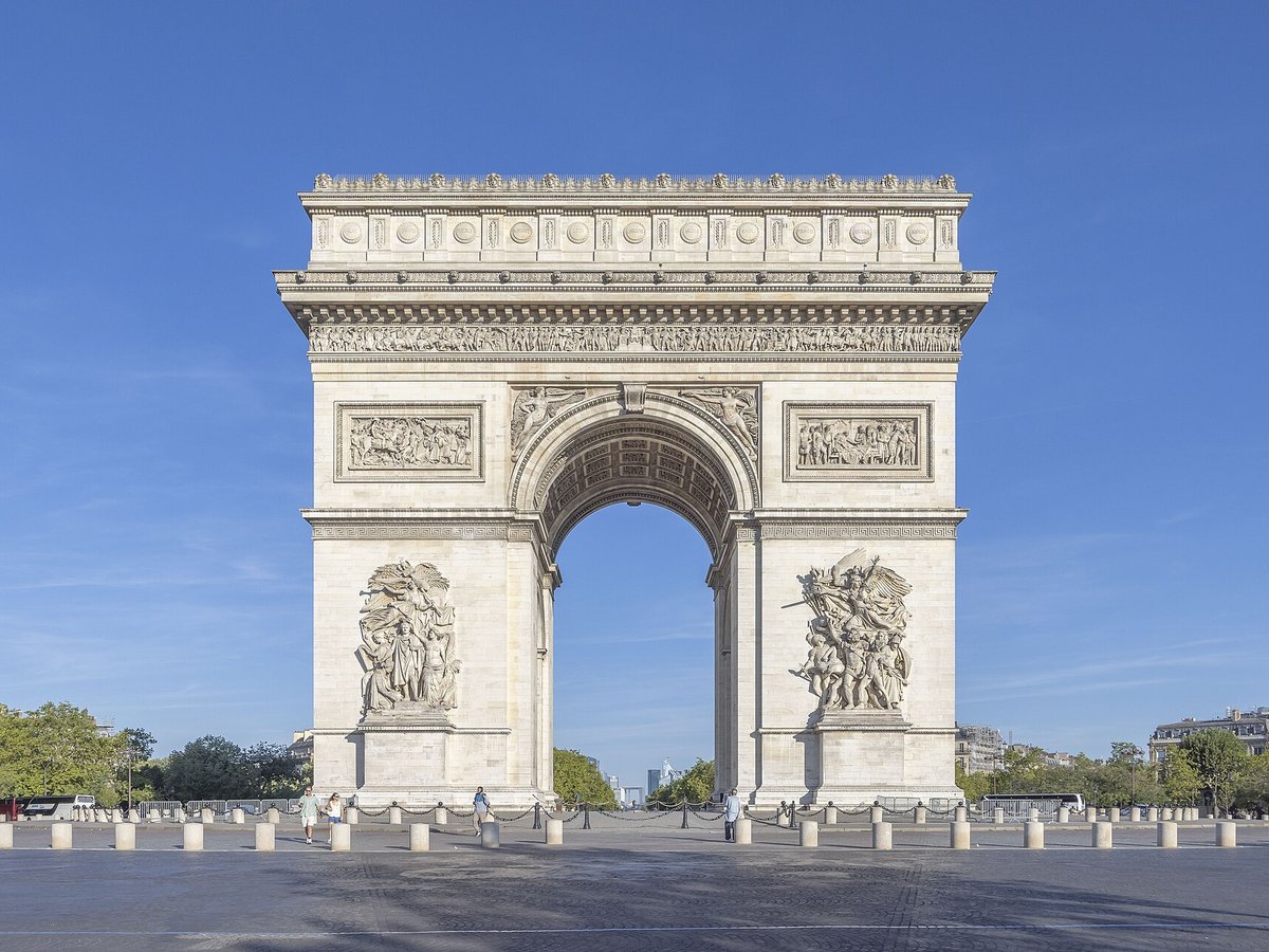
More landmarks in France
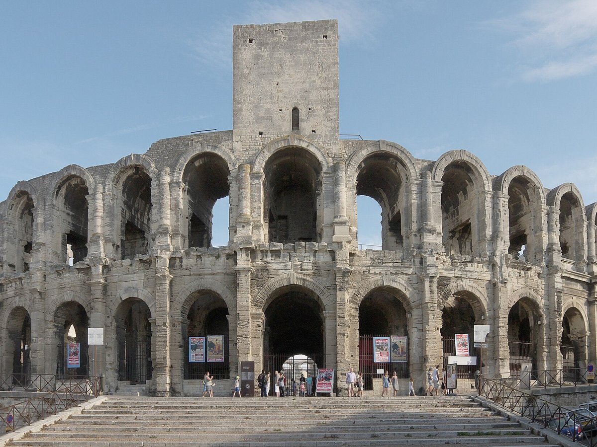
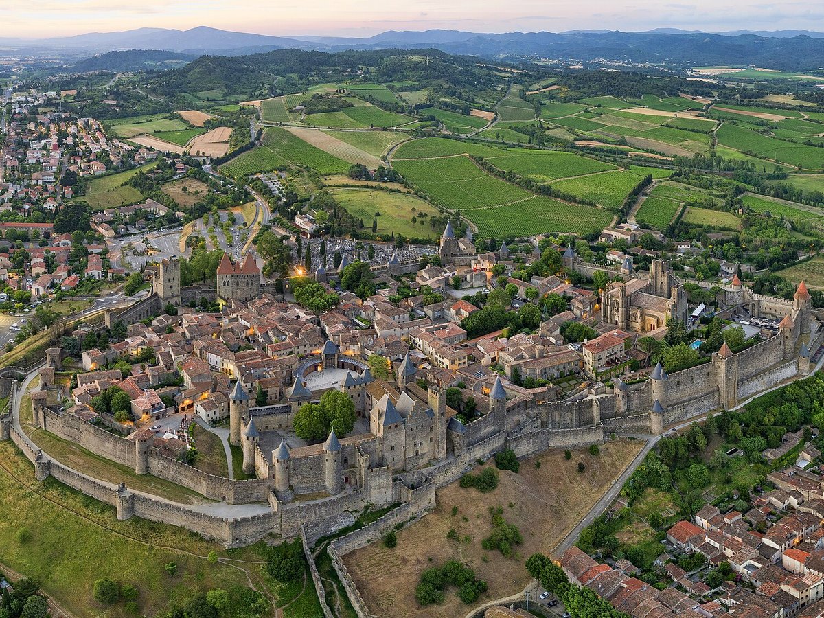
More natural wonders
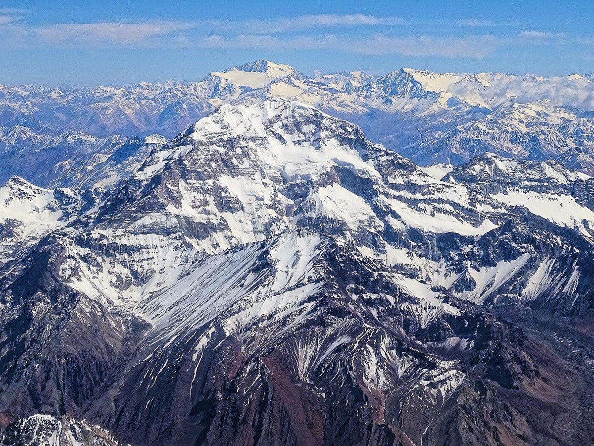

Frequently asked questions
What is Mont Blanc?
Mont Blanc (UK: ; US: ) is a mountain in the Alps, rising 4,807.
Where is Mont Blanc located?
Mont Blanc is in Chamonix, France. Its coordinates are 45.8328° N, 6.8650° E.
How do I get to Mont Blanc?
The nearest town is Chamonix, and the nearest airport is Aosta Airport (AOT), about 24.8 miles away (straight line).
What is the history of Mont Blanc?
The Mont Blanc was the highest mountain of the Frankish Empire under Charlemagne and the highest mountain of the Holy Roman Empire until 1792. Pierre Martel's 1744 map and sketch of the Chamonix valley contains what is considered the first printed appearance of the name "Mont Blanc".
Sources
- https://en.wikipedia.org/wiki/Mont_Blanc — Wikipedia article — overview, history and core facts (CC BY-SA).
- https://www.wikidata.org/wiki/Q583 — Wikidata — built year, architect, height/size, visitors, official website (CC0).
- https://github.com/jbrooksuk/JSON-Airports — Nearest major airport computed from landmark and airport coordinates (haversine); airport list: jbrooksuk/JSON-Airports.
Page last updated 13 November 2026.