
Historic Site · Hexham, United Kingdom
Hadrian's Wall
Hadrian's Wall is a former defensive fortification of the Roman province of Britannia, begun in AD 122 in the reign of the Emperor Hadrian. Built 122.
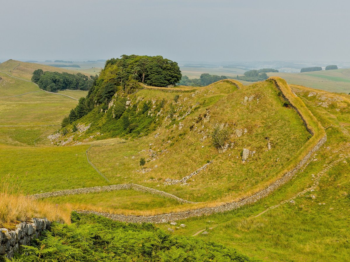
Photo: Benjamin Smith via Wikimedia Commons, CC BY-SA 4.0. Cropped and resized for display.
Landmark facts
| Location | Hexham, United Kingdom |
|---|---|
| Type | Historic Site |
| Built | 122 |
| Architect | Hadrian |
| Height | Height: 3.5 m |
| Coordinates | 55.0167° N, 2.2833° W |
Every fact above is taken from the sources listed below; anything no source states is left blank rather than guessed.
What Hadrian's Wall is known for
Hadrian's Wall is a former defensive fortification of the Roman province of Britannia, begun in AD 122 in the reign of the Emperor Hadrian.
About Hadrian's Wall
Hadrian's Wall is a former defensive fortification of the Roman province of Britannia, begun in AD 122 in the reign of the Emperor Hadrian. Running from Wallsend on the River Tyne in the east to Bowness-on-Solway in the west of what is now northern England, it was a stone wall (in its final version) with large ditches in front and behind, stretching across the whole width of the island. Soldiers were garrisoned along the line of the wall in large forts, smaller milecastles, and intervening turrets.
History
Hadrian ended his predecessor Trajan's policy of expanding the empire and instead focused on defending the current borders, namely at the time Britain. Like Augustus, Hadrian believed in exploiting natural boundaries such as rivers for the borders of the empire, for example the Euphrates, Rhine and Danube. Britain, however, did not have any natural boundaries that could serve the purpose of dividing the province controlled by the Romans from the Celtic tribes in the north.
Planning a visit? Visit the official Hadrian's Wall website — the official site has the current visiting information.
How to get there
| Nearest town | Hexham |
|---|---|
| Nearest airport | Carlisle Airport (CAX) |
| Distance from the airport | 21.6 miles (straight line) |
Nearest major airport by straight-line distance from the landmark’s coordinates; road distance will be longer.
Airports near this landmark
The airports a visitor would actually fly into, nearest first — each link opens its profile on our sister site AirportProfiles.
- Newcastle International Airport (NCL) · Newcastle upon Tyne, Tyne and Wear, United Kingdom · 23.6 miles away
- Edinburgh Airport (EDI) · Ingliston, Edinburgh, United Kingdom · 77.3 miles away
- Leeds Bradford Airport (LBA) · Leeds, West Yorkshire, United Kingdom · 83.4 miles away
Landmarks nearby
The closest landmarks in this library, by straight-line distance.
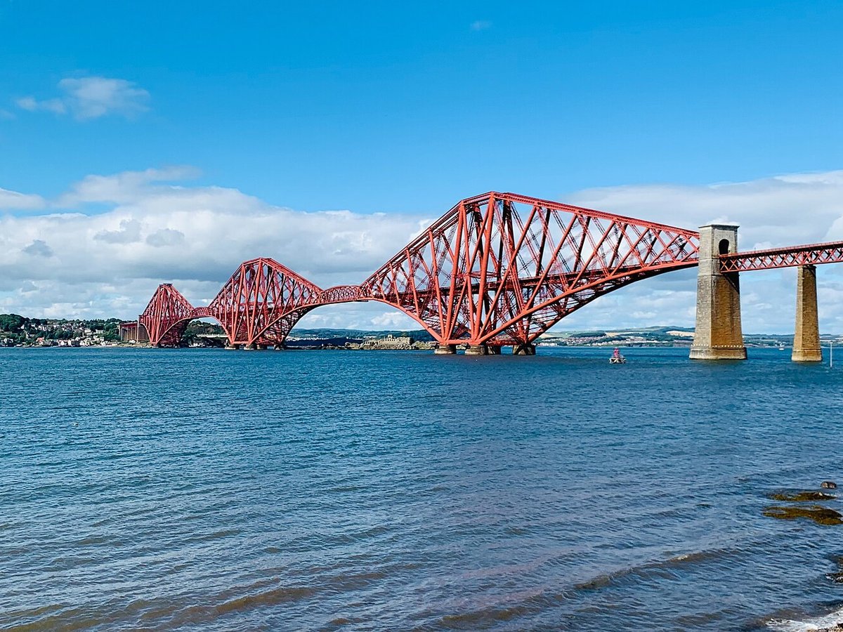
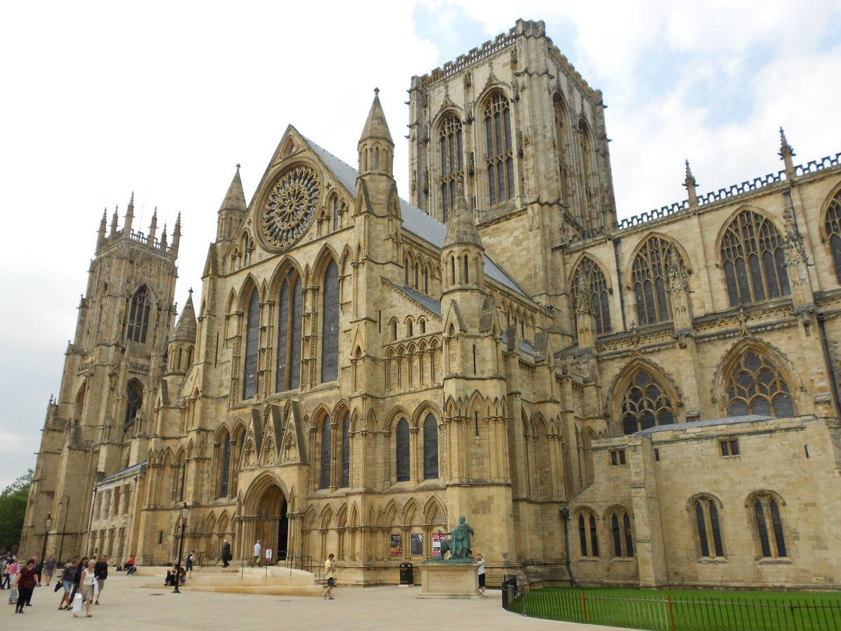
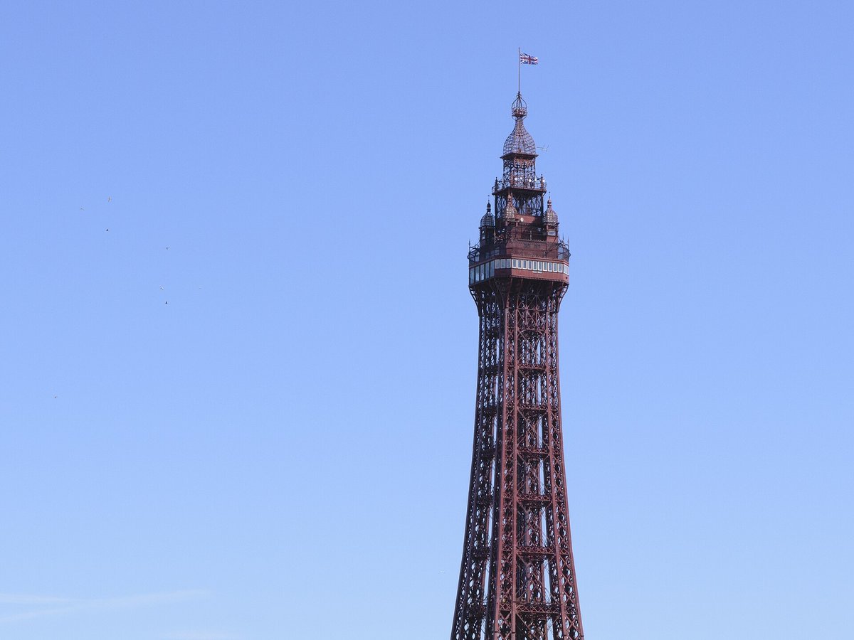
More landmarks in United Kingdom
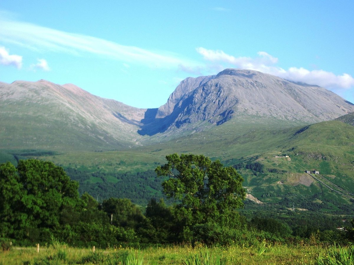
More historic sites





Frequently asked questions
What is Hadrian's Wall?
Hadrian's Wall is a former defensive fortification of the Roman province of Britannia, begun in AD 122 in the reign of the Emperor Hadrian.
Where is Hadrian's Wall located?
Hadrian's Wall is in Hexham, United Kingdom. Its coordinates are 55.0167° N, 2.2833° W.
How do I get to Hadrian's Wall?
The nearest town is Hexham, and the nearest airport is Carlisle Airport (CAX), about 21.6 miles away (straight line).
When was Hadrian's Wall built?
Hadrian's Wall was built 122.
Sources
- https://en.wikipedia.org/wiki/Hadrian's_Wall — Wikipedia article — overview, history and core facts (CC BY-SA).
- https://www.wikidata.org/wiki/Q57357 — Wikidata — built year, architect, height/size, visitors, official website (CC0).
- https://www.english-heritage.org.uk/visit/places/hadrians-wall — Official website of the landmark / managing body.
- https://github.com/jbrooksuk/JSON-Airports — Nearest major airport computed from landmark and airport coordinates (haversine); airport list: jbrooksuk/JSON-Airports.
Page last updated 13 November 2026.