
Natural Wonder · Fort William, United Kingdom
Ben Nevis
Ben Nevis is the highest mountain in Scotland, the United Kingdom, and the British Isles.
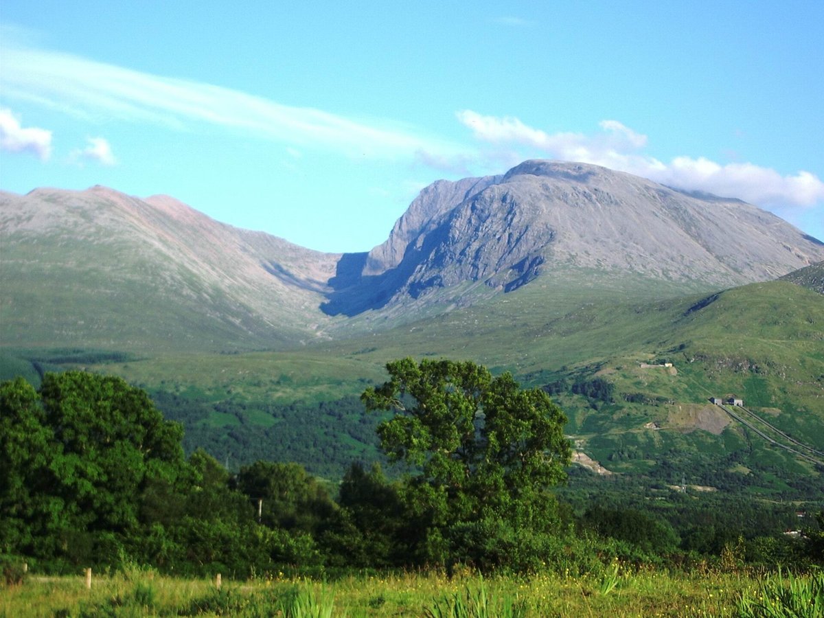
Photo: Thincat via Wikimedia Commons, Public domain. Cropped and resized for display.
Landmark facts
| Location | Fort William, United Kingdom |
|---|---|
| Type | Natural Wonder |
| Elevation | Elevation: 1344.53 m |
| Coordinates | 56.7968° N, 5.0035° W |
Every fact above is taken from the sources listed below; anything no source states is left blank rather than guessed.
What Ben Nevis is known for
Ben Nevis is the highest mountain in Scotland, the United Kingdom, and the British Isles.
About Ben Nevis
Ben Nevis is the highest mountain in Scotland, the United Kingdom, and the British Isles. Ben Nevis stands at the western end of the Grampian Mountains in the Highland region of Lochaber, close to the town of Fort William. The mountain is a popular destination, attracting an estimated 150,000 visitors a year, around three-quarters of whom use the Mountain Track from Glen Nevis.
History
The first recorded ascent of Ben Nevis was made on 17 August 1771 by James Robertson, an Edinburgh botanist, who was in the region to collect botanical specimens. Another early ascent was in 1774 by John Williams, who provided the first account of the mountain's geological structure. John Keats climbed the mountain in 1818, comparing the ascent to "mounting ten St.
Planning a visit? Visit the official Ben Nevis website — the official site has the current visiting information.
How to get there
| Nearest town | Fort William |
|---|---|
| Nearest airport | Inverness Airport (INV) |
| Distance from the airport | 62.2 miles (straight line) |
Nearest major airport by straight-line distance from the landmark’s coordinates; road distance will be longer.
Airports near this landmark
The airports a visitor would actually fly into, nearest first — each link opens its profile on our sister site AirportProfiles.
- Glasgow Airport (GLA) · Glasgow, United Kingdom · 67.5 miles away
- Edinburgh Airport (EDI) · Ingliston, Edinburgh, United Kingdom · 85.5 miles away
- Glasgow Prestwick Airport (PIK) · Prestwick, South Ayrshire, United Kingdom · 91.0 miles away
Landmarks nearby
The closest landmarks in this library, by straight-line distance.
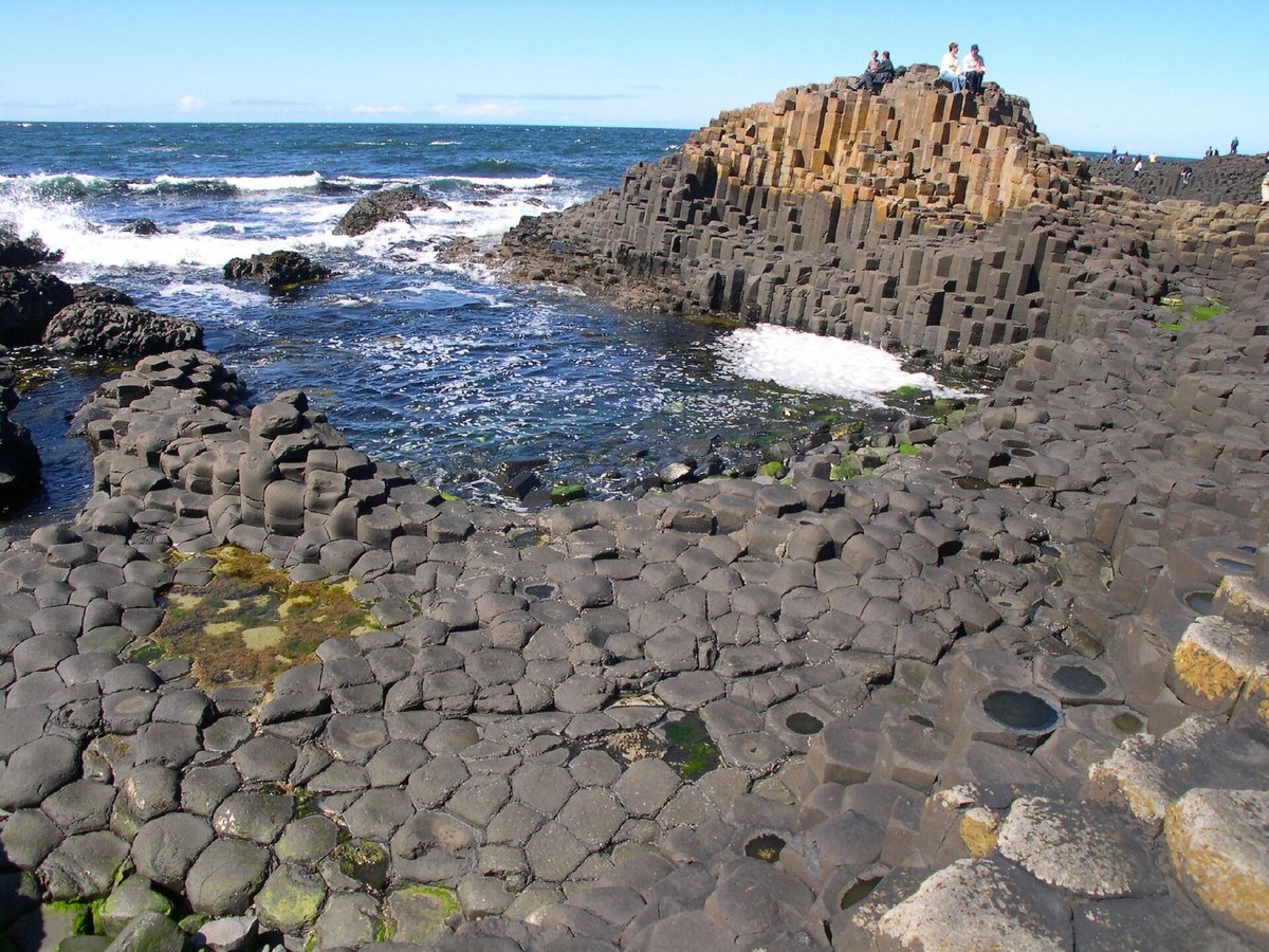
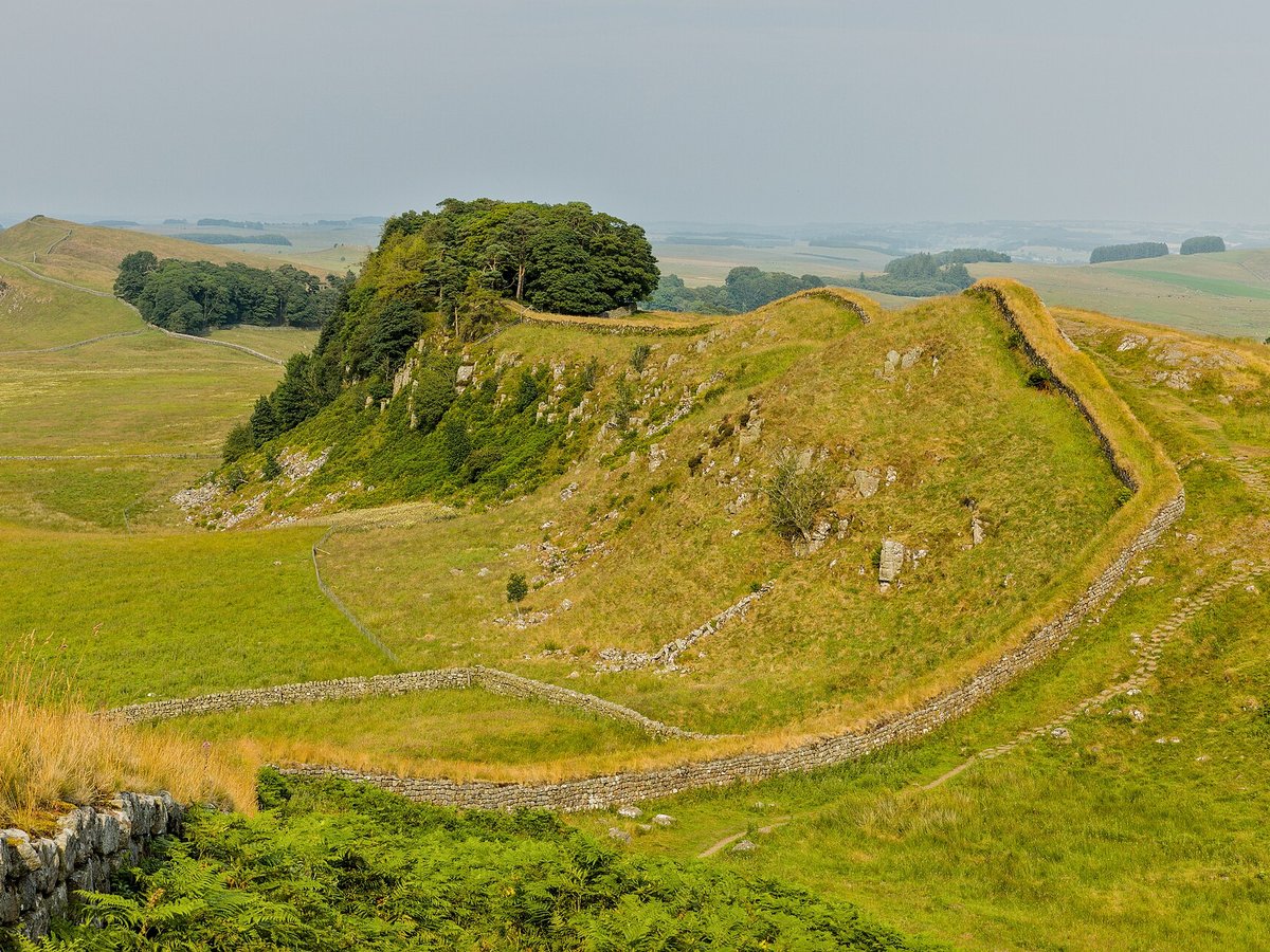
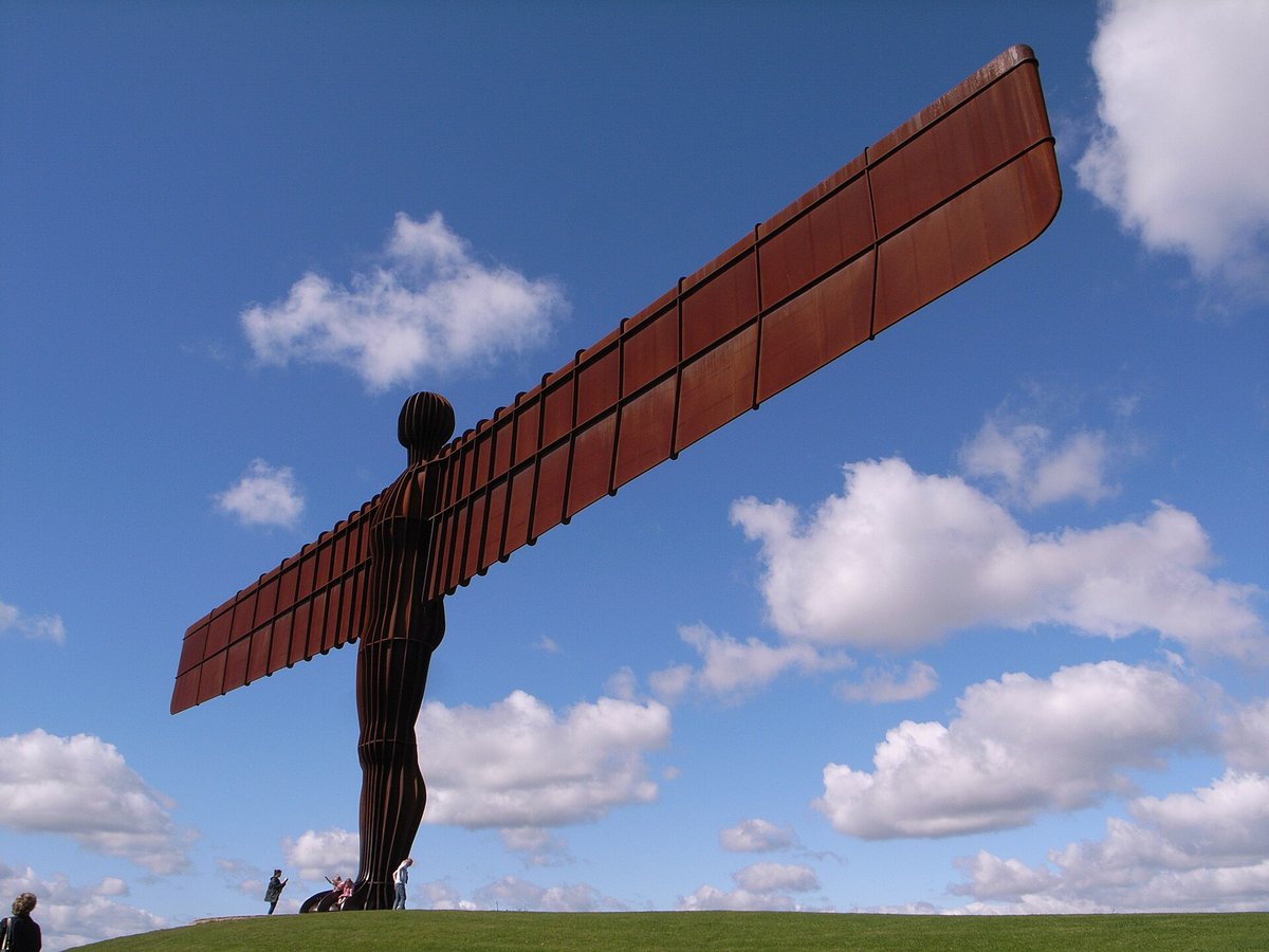
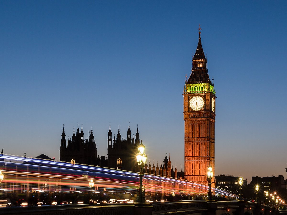
More landmarks in United Kingdom
More natural wonders

Frequently asked questions
What is Ben Nevis?
Ben Nevis is the highest mountain in Scotland, the United Kingdom, and the British Isles.
Where is Ben Nevis located?
Ben Nevis is in Fort William, United Kingdom. Its coordinates are 56.7968° N, 5.0035° W.
How do I get to Ben Nevis?
The nearest town is Fort William, and the nearest airport is Inverness Airport (INV), about 62.2 miles away (straight line).
What is the history of Ben Nevis?
The first recorded ascent of Ben Nevis was made on 17 August 1771 by James Robertson, an Edinburgh botanist, who was in the region to collect botanical specimens. Another early ascent was in 1774 by John Williams, who provided the first account of the mountain's geological structure.
Sources
- https://en.wikipedia.org/wiki/Ben_Nevis — Wikipedia article — overview, history and core facts (CC BY-SA).
- https://www.wikidata.org/wiki/Q104674 — Wikidata — built year, architect, height/size, visitors, official website (CC0).
- http://www.ben-nevis.com/ — Official website of the landmark / managing body.
- https://github.com/jbrooksuk/JSON-Airports — Nearest major airport computed from landmark and airport coordinates (haversine); airport list: jbrooksuk/JSON-Airports.
Page last updated 13 November 2026.