
Natural Wonder · Puerto Ayora, Ecuador
Galápagos Islands
The Galápagos Islands (Spanish: Islas Galápagos) are an archipelago of volcanic islands in the Eastern Pacific, located around the equator, 485 nautical miles (898 km; 558 mi) west of the mainland of South America. It drew 267,688 visitors in 2022.
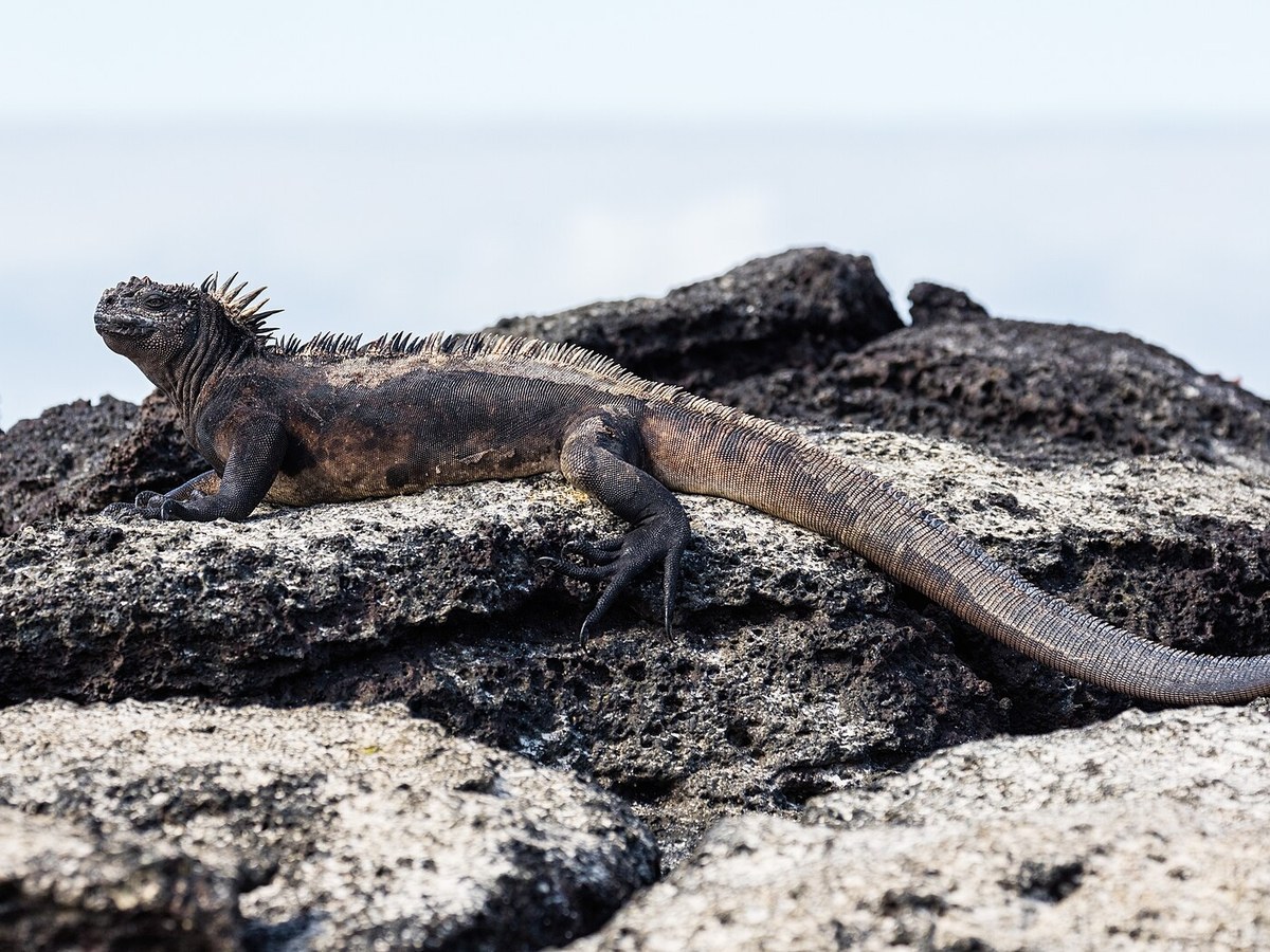
Photo: Diego Delso via Wikimedia Commons, CC BY-SA 4.0. Cropped and resized for display.
Landmark facts
| Location | Puerto Ayora, Ecuador |
|---|---|
| Type | Natural Wonder |
| Area | Area: 7880 km² |
| Annual visitors (2022) | 267,688 |
| Coordinates | 0.5000° S, 90.5000° W |
Every fact above is taken from the sources listed below; anything no source states is left blank rather than guessed.
What Galápagos Islands is known for
The Galápagos Islands (Spanish: Islas Galápagos) are an archipelago of volcanic islands in the Eastern Pacific, located around the equator, 485 nautical miles (898 km; 558 mi) west of the mainland of South America.
About Galápagos Islands
The Galápagos Islands (Spanish: Islas Galápagos) are an archipelago of volcanic islands in the Eastern Pacific, located around the equator, 485 nautical miles (898 km; 558 mi) west of the mainland of South America. They form the Galápagos Province of the Republic of Ecuador, with a population of slightly over 33,450 in 2020. The province is divided into the cantons of San Cristóbal, Santa Cruz, and Isabela, the three most populated islands in the chain. The Galápagos are famous for their large number of endemic species, which were studied by Charles Darwin in the 1830s and inspired his theory of evolution by means of natural selection.
History
European discovery of the Galápagos Islands is recorded on 10 March 1535, when the Spanish bishop of Panama Tomás de Berlanga drifted off course while his ship was becalmed in the Doldrums. Until the early 19th century, the archipelago was often used as a hideout by pirates who attacked Spanish treasure fleets carrying supplies from Peru to Panama and Spain. Ecuador formally occupied and claimed the islands on 12 February 1832, after winning independence from Spain in 1822 and leaving Gran Colombia in 1830.
How to get there
| Nearest town | Puerto Ayora |
|---|---|
| Nearest airport | Seymour Airport (GPS) |
| Distance from the airport | 15.7 miles (straight line) |
Nearest major airport by straight-line distance from the landmark’s coordinates; road distance will be longer.
Airports near this landmark
The airports a visitor would actually fly into, nearest first — each link opens its profile on our sister site AirportProfiles.
- Seymour Galapagos Ecological Airport (GPS) · Isla Baltra, Ecuador · 16.5 miles away
Landmarks nearby
The closest landmarks in this library, by straight-line distance.
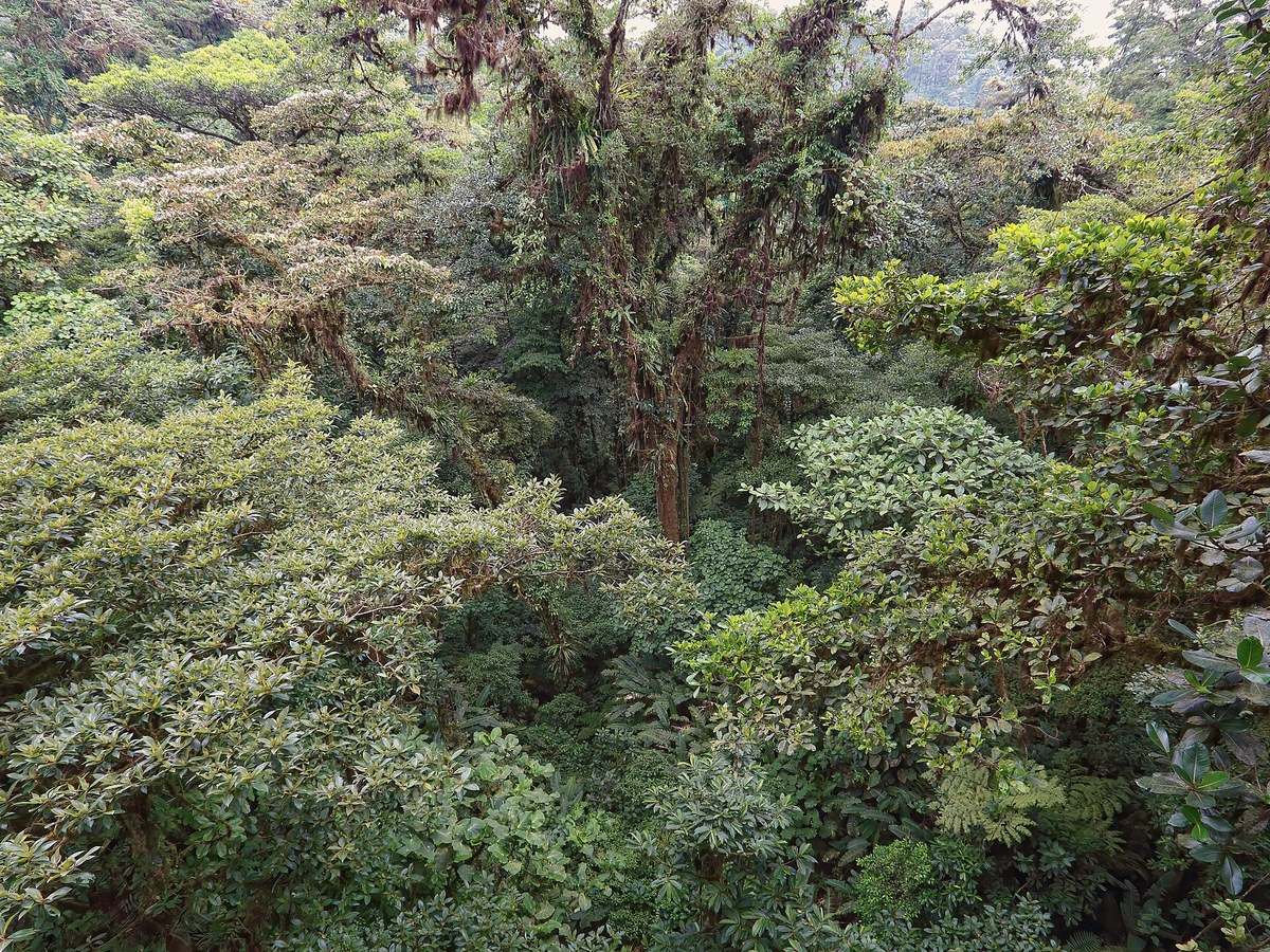
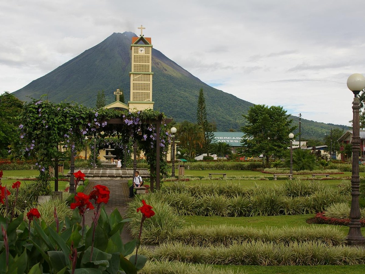
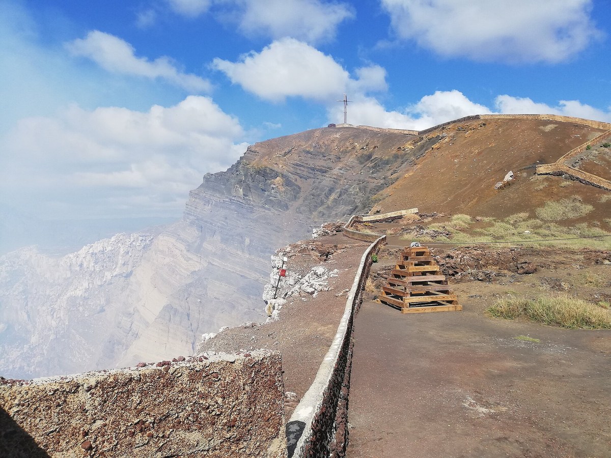
More landmarks in Ecuador
More natural wonders
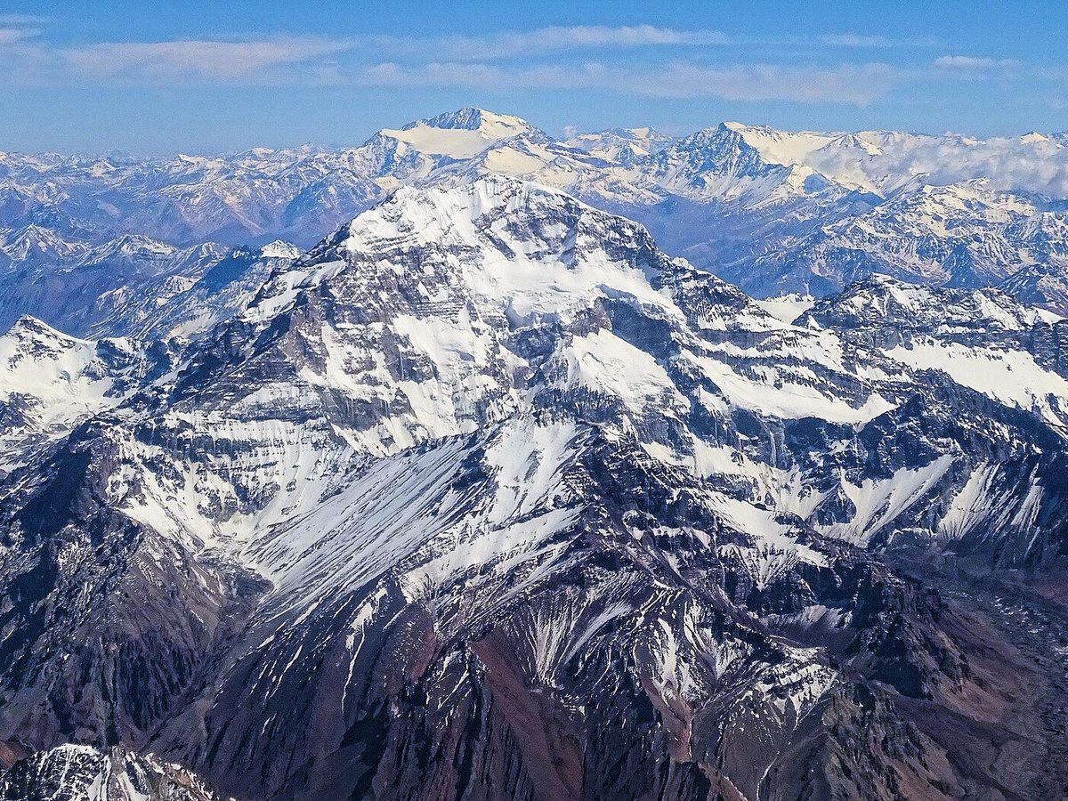


Frequently asked questions
What is Galápagos Islands?
The Galápagos Islands (Spanish: Islas Galápagos) are an archipelago of volcanic islands in the Eastern Pacific, located around the equator, 485 nautical miles (898 km; 558 mi) west of the mainland of South America.
Where is Galápagos Islands located?
Galápagos Islands is in Puerto Ayora, Ecuador. Its coordinates are 0.5000° S, 90.5000° W.
How do I get to Galápagos Islands?
The nearest town is Puerto Ayora, and the nearest airport is Seymour Airport (GPS), about 15.7 miles away (straight line).
What is the history of Galápagos Islands?
European discovery of the Galápagos Islands is recorded on 10 March 1535, when the Spanish bishop of Panama Tomás de Berlanga drifted off course while his ship was becalmed in the Doldrums. Until the early 19th century, the archipelago was often used as a hideout by pirates who attacked Spanish treasure fleets carrying supplies from Peru to Panama and Spain.
Sources
- https://en.wikipedia.org/wiki/Gal%C3%A1pagos_Islands — Wikipedia article — overview, history and core facts (CC BY-SA).
- https://www.wikidata.org/wiki/Q38095 — Wikidata — built year, architect, height/size, visitors, official website (CC0).
- https://github.com/jbrooksuk/JSON-Airports — Nearest major airport computed from landmark and airport coordinates (haversine); airport list: jbrooksuk/JSON-Airports.
Page last updated 13 November 2026.