
Historic Site · Mary, Turkmenistan
Merv
Merv, also called the Merve Oasis, was a major Iranian city in Central Asia, located on the historical Silk Road, near today's Mary, Turkmenistan.
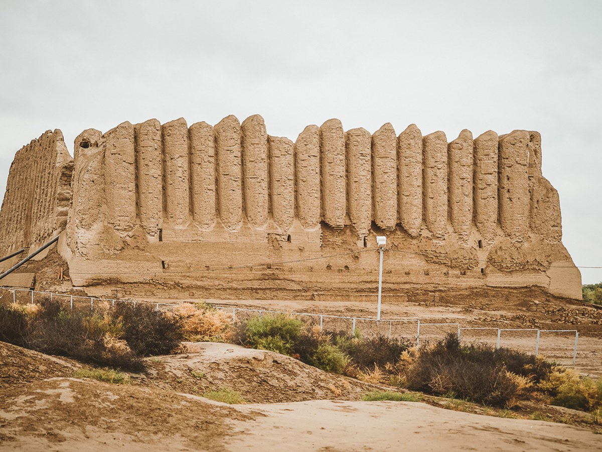
Photo: Kalpak Travel via Wikimedia Commons, CC BY-SA 4.0. Cropped and resized for display.
Landmark facts
| Location | Mary, Turkmenistan |
|---|---|
| Type | Historic Site |
| Area | Area: 3.53 km² |
| Coordinates | 37.6628° N, 62.1925° E |
Every fact above is taken from the sources listed below; anything no source states is left blank rather than guessed.
What Merv is known for
Merv, also called the Merve Oasis, was a major Iranian city in Central Asia, located on the historical Silk Road, near today's Mary, Turkmenistan.
About Merv
Merv, also called the Merve Oasis, was a major Iranian city in Central Asia, located on the historical Silk Road, near today's Mary, Turkmenistan. Human settlements on the site of Merv existed from the 3rd millennium BC until the 18th century AD. It changed hands repeatedly throughout history. Under the Achaemenid Empire, it was the center of the satrapy of Margiana.
History
Merv has prehistoric roots: archaeological surveys have revealed many traces of village life as far back as the 3rd millennium BC and have associated the area culturally with the Bactria-Margiana Archaeological Complex. The geography of the Zend-Avesta (commentaries on the Avesta) mentions Merv (under the name of Mouru) along with Balkh. In Zoroastrianism, the god Ahura Mazda created Mouru as one of sixteen perfect lands. Under the Achaemenid Empire (c. 550–330 BC), the historical record mentions Merv as a place of some importance: under the name of Margu, it occurs as part of one satrapy in the Behistun inscriptions (c. 515 BC) of the Persian monarch Darius the Great.
How to get there
| Nearest town | Mary |
|---|---|
| Nearest airport | Mary International Airport (MYP) |
| Distance from the airport | 19.6 miles (straight line) |
Nearest major airport by straight-line distance from the landmark’s coordinates; road distance will be longer.
Airports near this landmark
The airports a visitor would actually fly into, nearest first — each link opens its profile on our sister site AirportProfiles.
- Türkmenabat International Airport (CRZ) · Türkmenabat, Turkmenistan · 114.9 miles away
Landmarks nearby
The closest landmarks in this library, by straight-line distance.
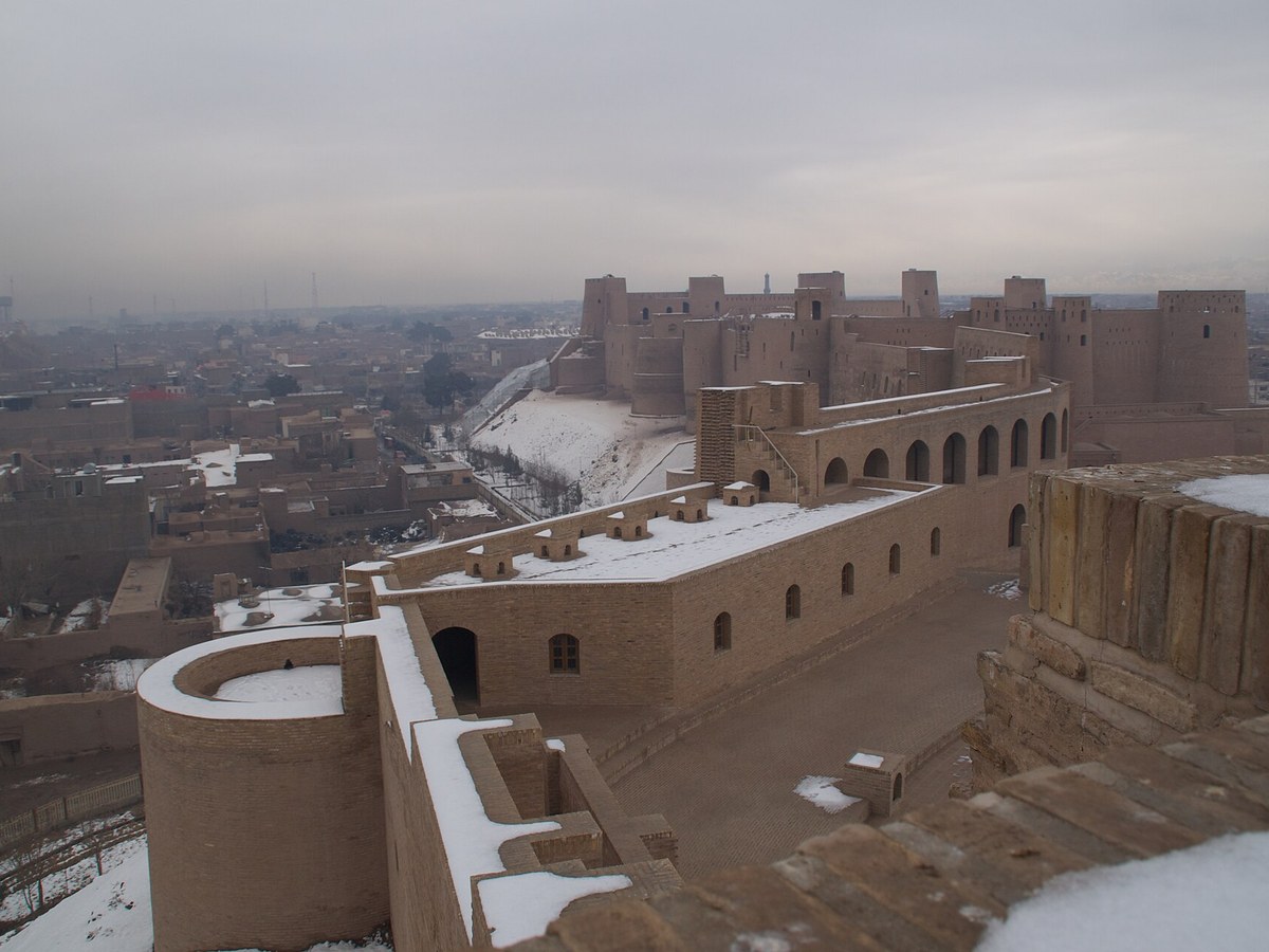
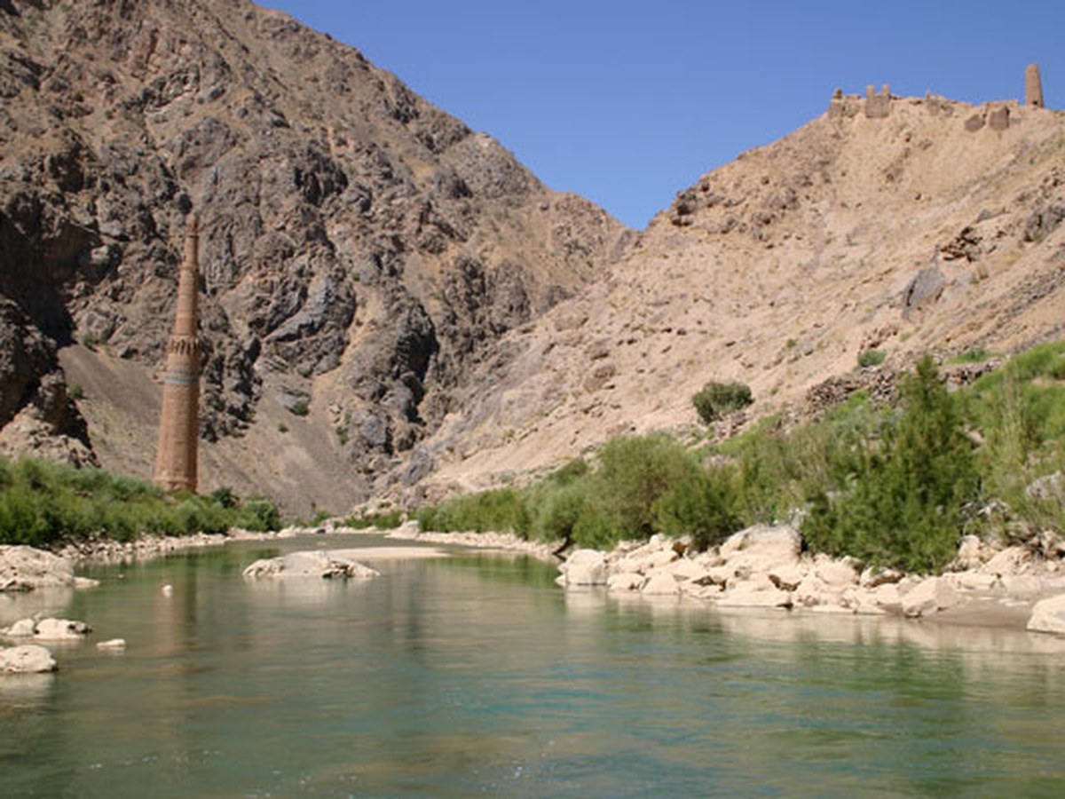
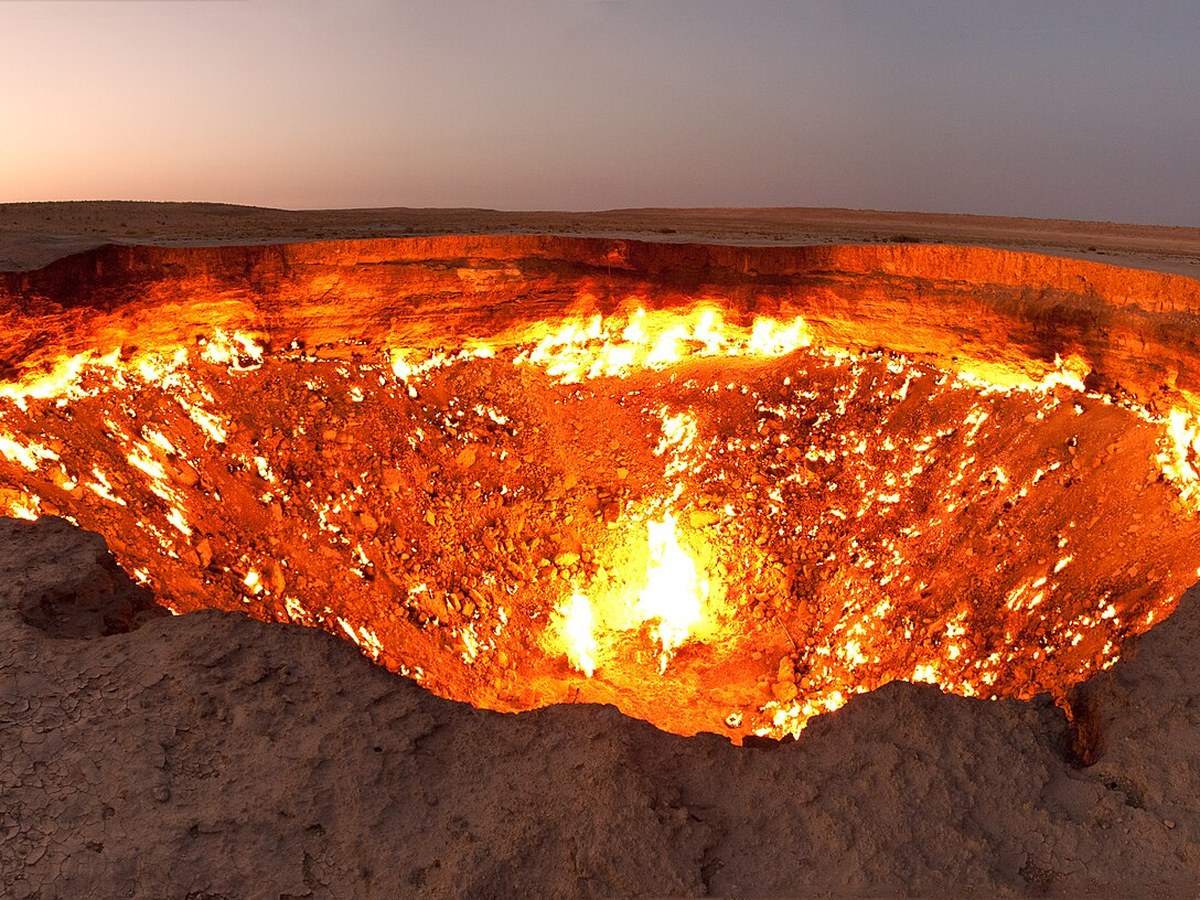
More landmarks in Turkmenistan
More historic sites





Frequently asked questions
What is Merv?
Merv, also called the Merve Oasis, was a major Iranian city in Central Asia, located on the historical Silk Road, near today's Mary, Turkmenistan.
Where is Merv located?
Merv is in Mary, Turkmenistan. Its coordinates are 37.6628° N, 62.1925° E.
How do I get to Merv?
The nearest town is Mary, and the nearest airport is Mary International Airport (MYP), about 19.6 miles away (straight line).
What is the history of Merv?
Merv has prehistoric roots: archaeological surveys have revealed many traces of village life as far back as the 3rd millennium BC and have associated the area culturally with the Bactria-Margiana Archaeological Complex. The geography of the Zend-Avesta (commentaries on the Avesta) mentions Merv (under the name of Mouru) along with Balkh.
Sources
- https://en.wikipedia.org/wiki/Merv — Wikipedia article — overview, history and core facts (CC BY-SA).
- https://www.wikidata.org/wiki/Q193325 — Wikidata — built year, architect, height/size, visitors, official website (CC0).
- https://github.com/jbrooksuk/JSON-Airports — Nearest major airport computed from landmark and airport coordinates (haversine); airport list: jbrooksuk/JSON-Airports.
Page last updated 13 November 2026.