
Historic Site · Ouarzazate, Morocco
Aït Benhaddou
Aït Benhaddou (Berber languages: ⵉⵖⵔⵎ ⵏ ⴰⵢⵜ ⴱⵏ ⵃⴷⴷⵓ, Arabic: آيت بن حدّو) is a historic ighrem or ksar (fortified village) along the former caravan route between the Sahara and Marrakesh in Morocco.
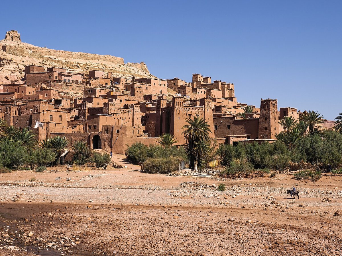
Photo: Petar Milošević via Wikimedia Commons, CC BY-SA 4.0. Cropped and resized for display.
Landmark facts
| Location | Ouarzazate, Morocco |
|---|---|
| Type | Historic Site |
| Area | Area: 0.163 km² |
| Coordinates | 31.0472° N, 7.1289° W |
Every fact above is taken from the sources listed below; anything no source states is left blank rather than guessed.
What Aït Benhaddou is known for
Aït Benhaddou (Berber languages: ⵉⵖⵔⵎ ⵏ ⴰⵢⵜ ⴱⵏ ⵃⴷⴷⵓ, Arabic: آيت بن حدّو) is a historic ighrem or ksar (fortified village) along the former caravan route between the Sahara and Marrakesh in Morocco.
About Aït Benhaddou
Aït Benhaddou (Berber languages: ⵉⵖⵔⵎ ⵏ ⴰⵢⵜ ⴱⵏ ⵃⴷⴷⵓ, Arabic: آيت بن حدّو) is a historic ighrem or ksar (fortified village) along the former caravan route between the Sahara and Marrakesh in Morocco. It is considered a great example of Moroccan earthen clay architecture and has been a UNESCO World Heritage Site since 1987.
History
The site of the ksar has been fortified since the 11th century during the Almoravid period. None of the current buildings are believed to date from before the 17th century, but they were likely built with the same construction methods and designs as had been used for centuries before. The site's strategic importance was due to its location in the Ounila Valley along one of the main trans-Saharan trade routes.
Planning a visit? Visit the official Aït Benhaddou website — the official site has the current visiting information.
How to get there
| Nearest town | Ouarzazate |
|---|---|
| Nearest airport | Ouarzazate Airport (OZZ) |
| Distance from the airport | 15.5 miles (straight line) |
Nearest major airport by straight-line distance from the landmark’s coordinates; road distance will be longer.
Airports near this landmark
The airports a visitor would actually fly into, nearest first — each link opens its profile on our sister site AirportProfiles.
- Ouarzazate International Airport (OZZ) · Ouarzazate, Morocco · 15.0 miles away
- Marrakesh Menara Airport (RAK) · Marrakesh, Morocco · 65.9 miles away
- Zagora Airport (OZG) · Zagora, Morocco · 92.7 miles away
Landmarks nearby
The closest landmarks in this library, by straight-line distance.
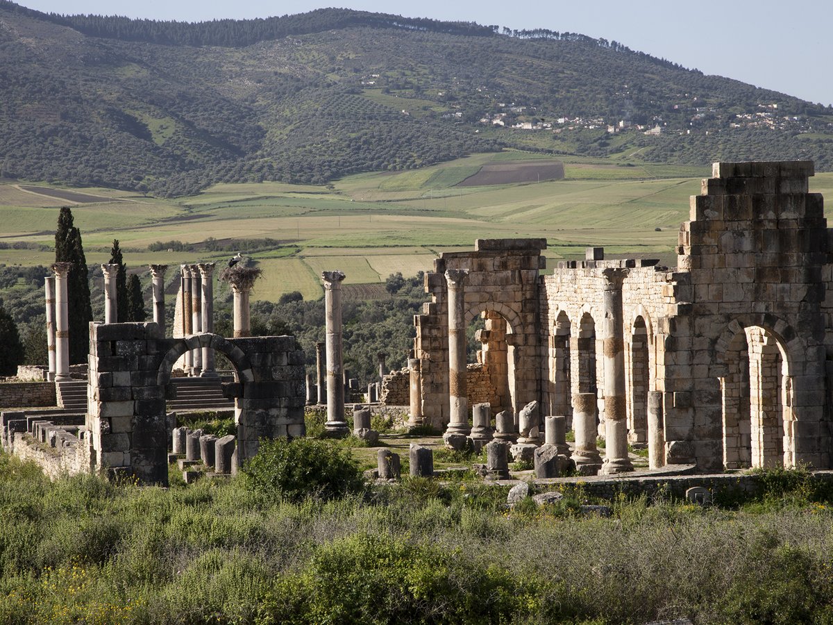
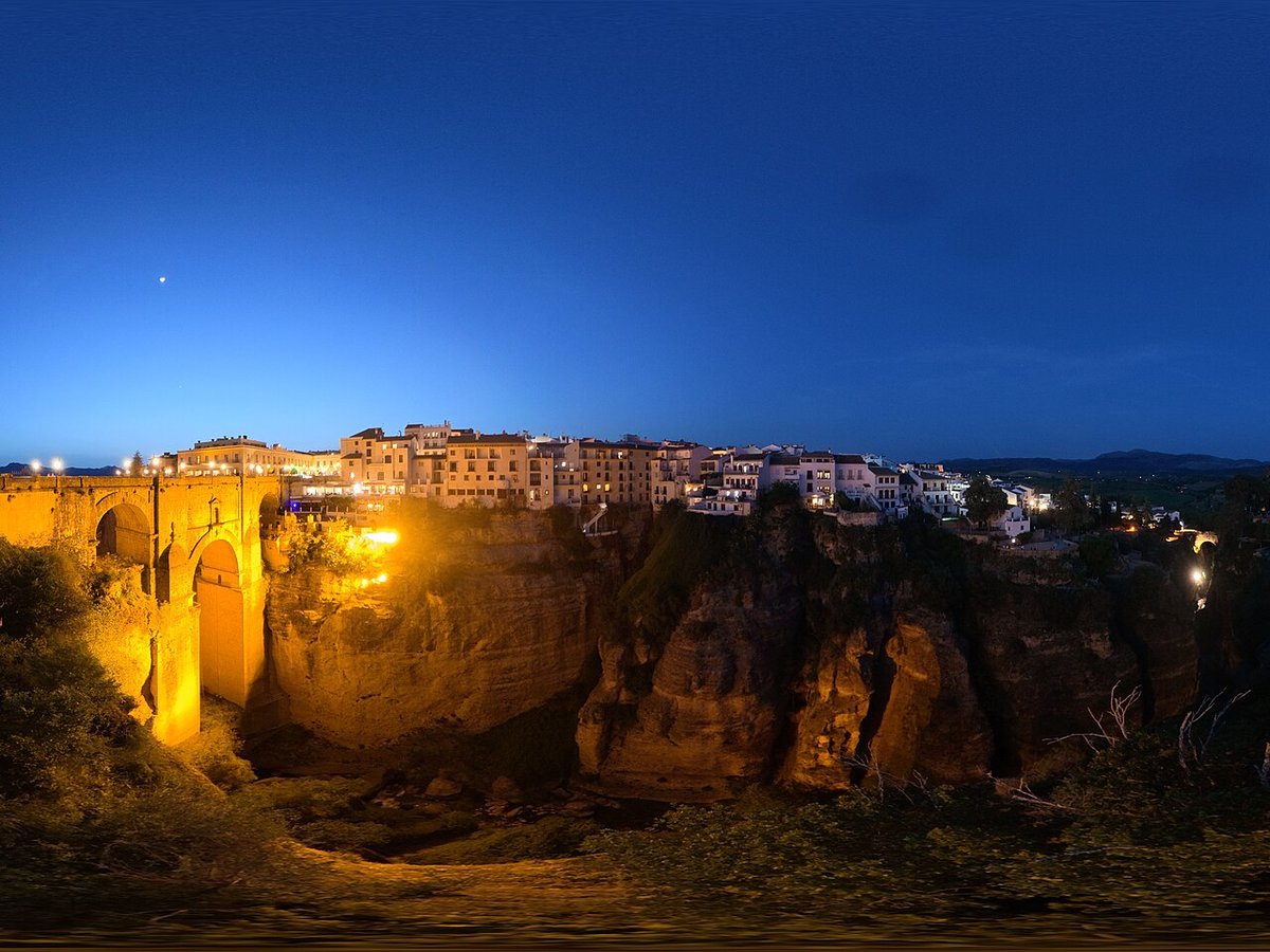
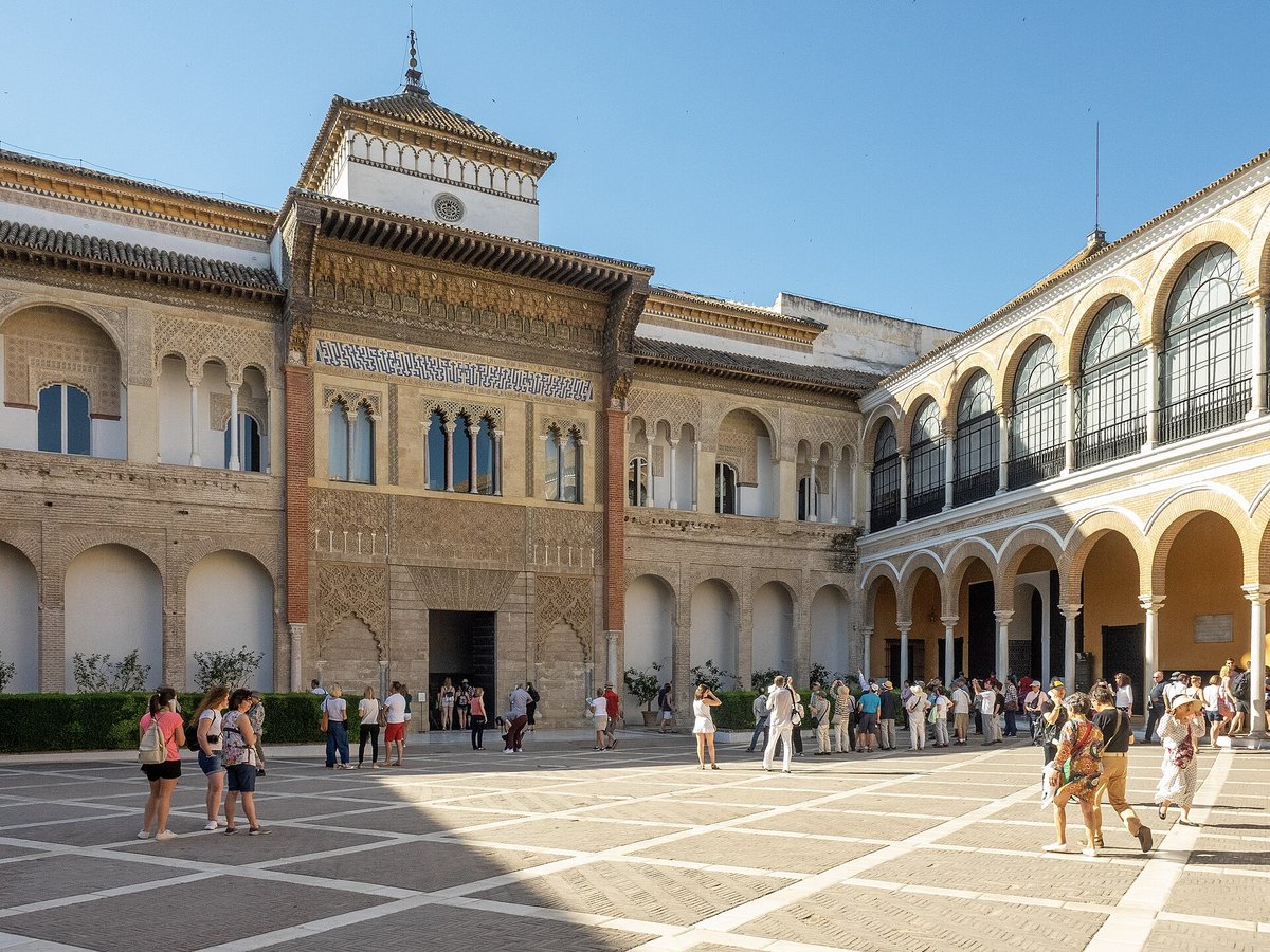
More landmarks in Morocco
More historic sites





Frequently asked questions
What is Aït Benhaddou?
Aït Benhaddou (Berber languages: ⵉⵖⵔⵎ ⵏ ⴰⵢⵜ ⴱⵏ ⵃⴷⴷⵓ, Arabic: آيت بن حدّو) is a historic ighrem or ksar (fortified village) along the former caravan route between the Sahara and Marrakesh in Morocco.
Where is Aït Benhaddou located?
Aït Benhaddou is in Ouarzazate, Morocco. Its coordinates are 31.0472° N, 7.1289° W.
How do I get to Aït Benhaddou?
The nearest town is Ouarzazate, and the nearest airport is Ouarzazate Airport (OZZ), about 15.5 miles away (straight line).
What is the history of Aït Benhaddou?
The site of the ksar has been fortified since the 11th century during the Almoravid period. None of the current buildings are believed to date from before the 17th century, but they were likely built with the same construction methods and designs as had been used for centuries before.
Sources
- https://en.wikipedia.org/wiki/Aït_Benhaddou — Wikipedia article — overview, history and core facts (CC BY-SA).
- https://www.wikidata.org/wiki/Q309436 — Wikidata — built year, architect, height/size, visitors, official website (CC0).
- http://www.ait-ben-haddou.net:80/ — Official website of the landmark / managing body.
- https://github.com/jbrooksuk/JSON-Airports — Nearest major airport computed from landmark and airport coordinates (haversine); airport list: jbrooksuk/JSON-Airports.
Page last updated 13 November 2026.