
Natural Wonder · Dover, United Kingdom
White Cliffs of Dover
The White Cliffs of Dover are the region of English coastline facing the Strait of Dover and France.
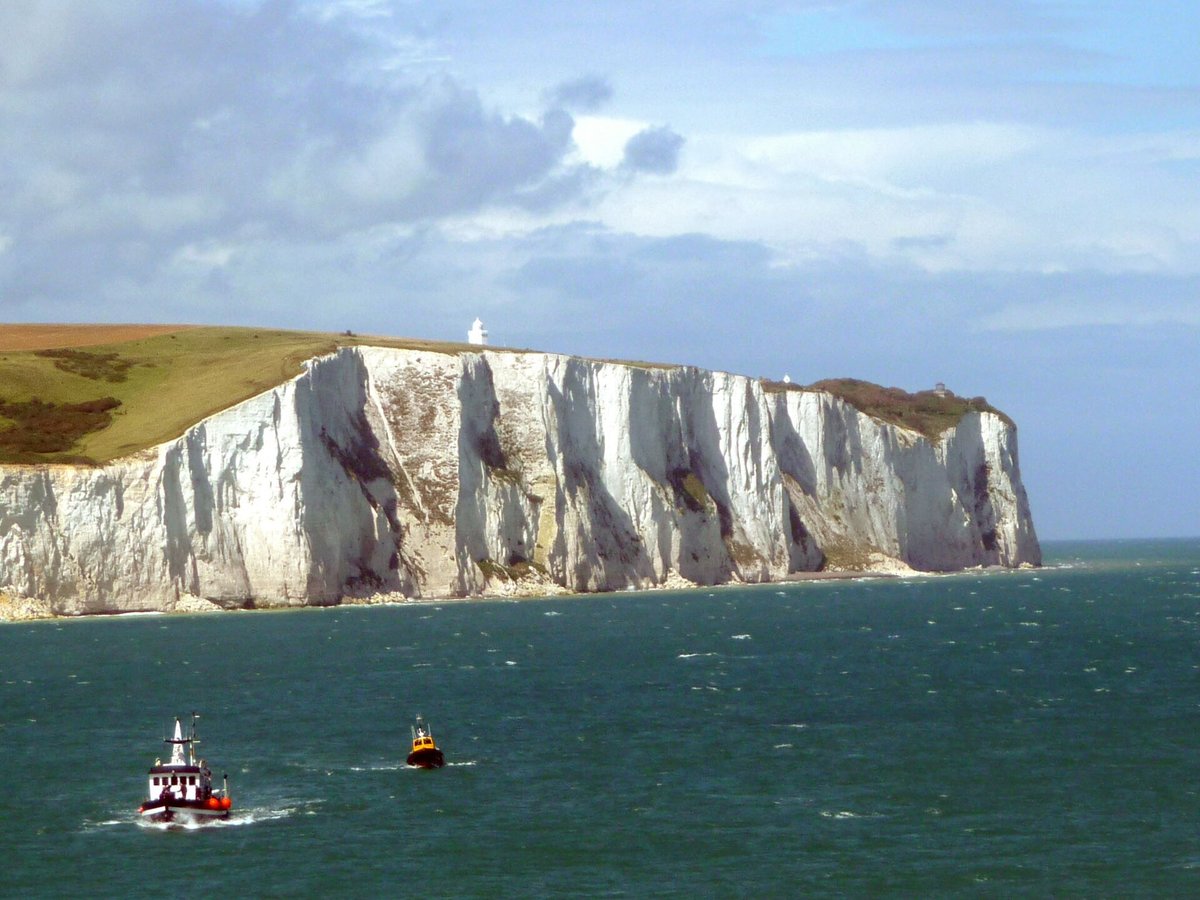
Photo: Immanuel Giel via Wikimedia Commons, CC BY-SA 3.0. Cropped and resized for display.
Landmark facts
| Location | Dover, United Kingdom |
|---|---|
| Type | Natural Wonder |
| Elevation | Elevation: 110 m |
| Coordinates | 51.1078° N, 1.2786° E |
Every fact above is taken from the sources listed below; anything no source states is left blank rather than guessed.
What White Cliffs of Dover is known for
The White Cliffs of Dover are the region of English coastline facing the Strait of Dover and France.
About White Cliffs of Dover
The White Cliffs of Dover are the region of English coastline facing the Strait of Dover and France. The cliff face, which reaches a height of 350 feet (110 m), owes its striking appearance to its composition of chalk accented by streaks of black flint, deposited during the Late Cretaceous. The cliffs, on both sides of the town of Dover in Kent, stretch for eight miles (13 km).
History
In 55 BC, in the earliest recorded mention of the cliffs, Julius Caesar described them in his "Commentarii de Bello Gallico" as rising steeply from the sea and defended by armed Britons, preventing his forces from landing. A possible Iron Age hillfort has been discovered at Dover, on the site of the later castle. The area was also inhabited during the Roman period when Dover was used as a port.
Planning a visit? Visit the official White Cliffs of Dover website — the official site has the current visiting information.
How to get there
| Nearest town | Dover |
|---|---|
| Nearest airport | Kent International Airport (MSE) |
| Distance from the airport | 17.0 miles (straight line) |
Nearest major airport by straight-line distance from the landmark’s coordinates; road distance will be longer.
Airports near this landmark
The airports a visitor would actually fly into, nearest first — each link opens its profile on our sister site AirportProfiles.
- London Gatwick Airport (LGW) · London, United Kingdom · 63.6 miles away
- Ostend-Bruges International Airport (OST) · Oostende, Belgium · 69.5 miles away
- London Stansted Airport (STN) · London, Essex, United Kingdom · 70.0 miles away
Landmarks nearby
The closest landmarks in this library, by straight-line distance.
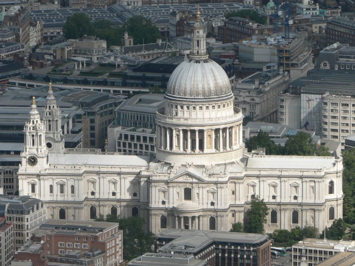
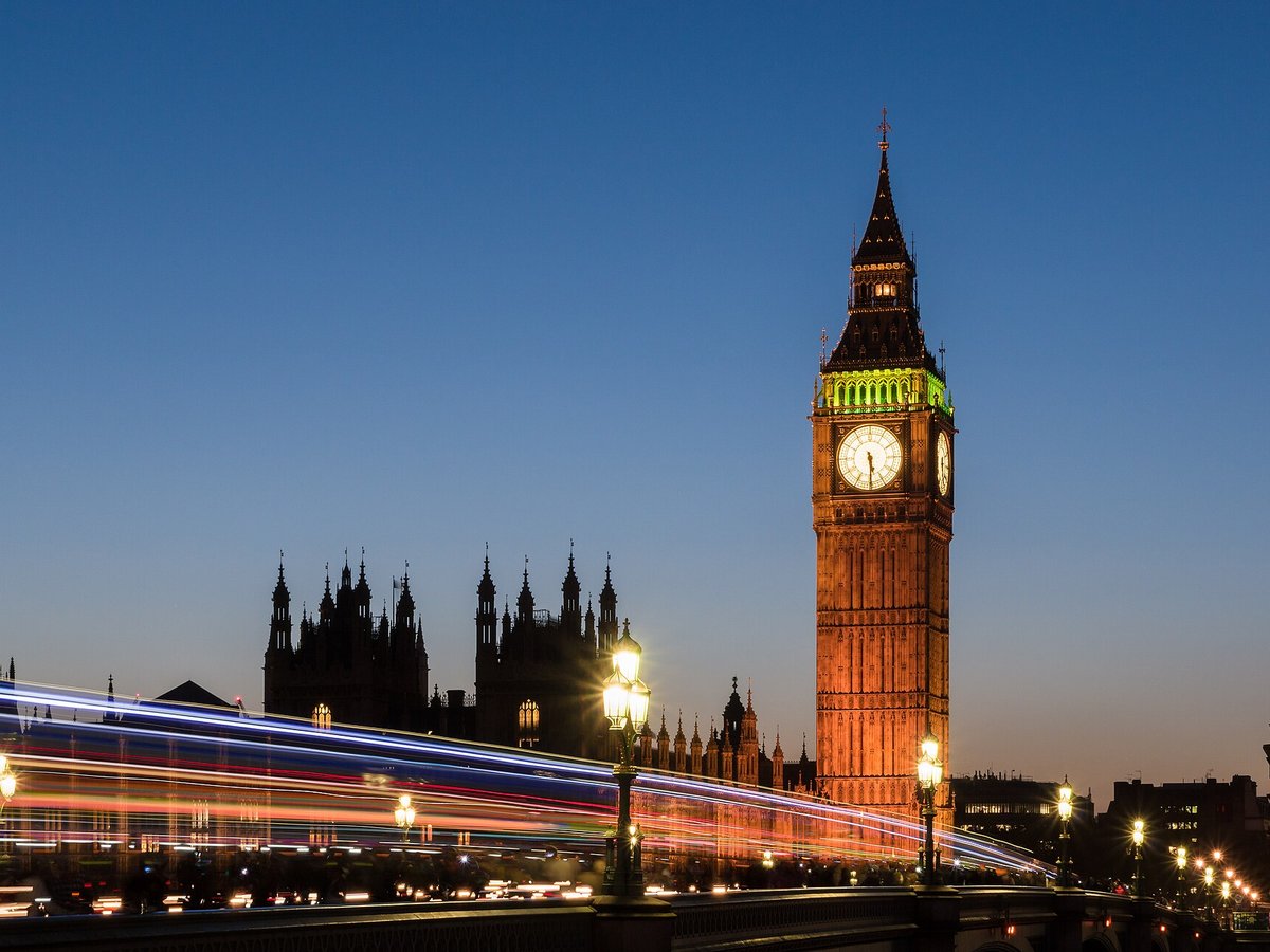
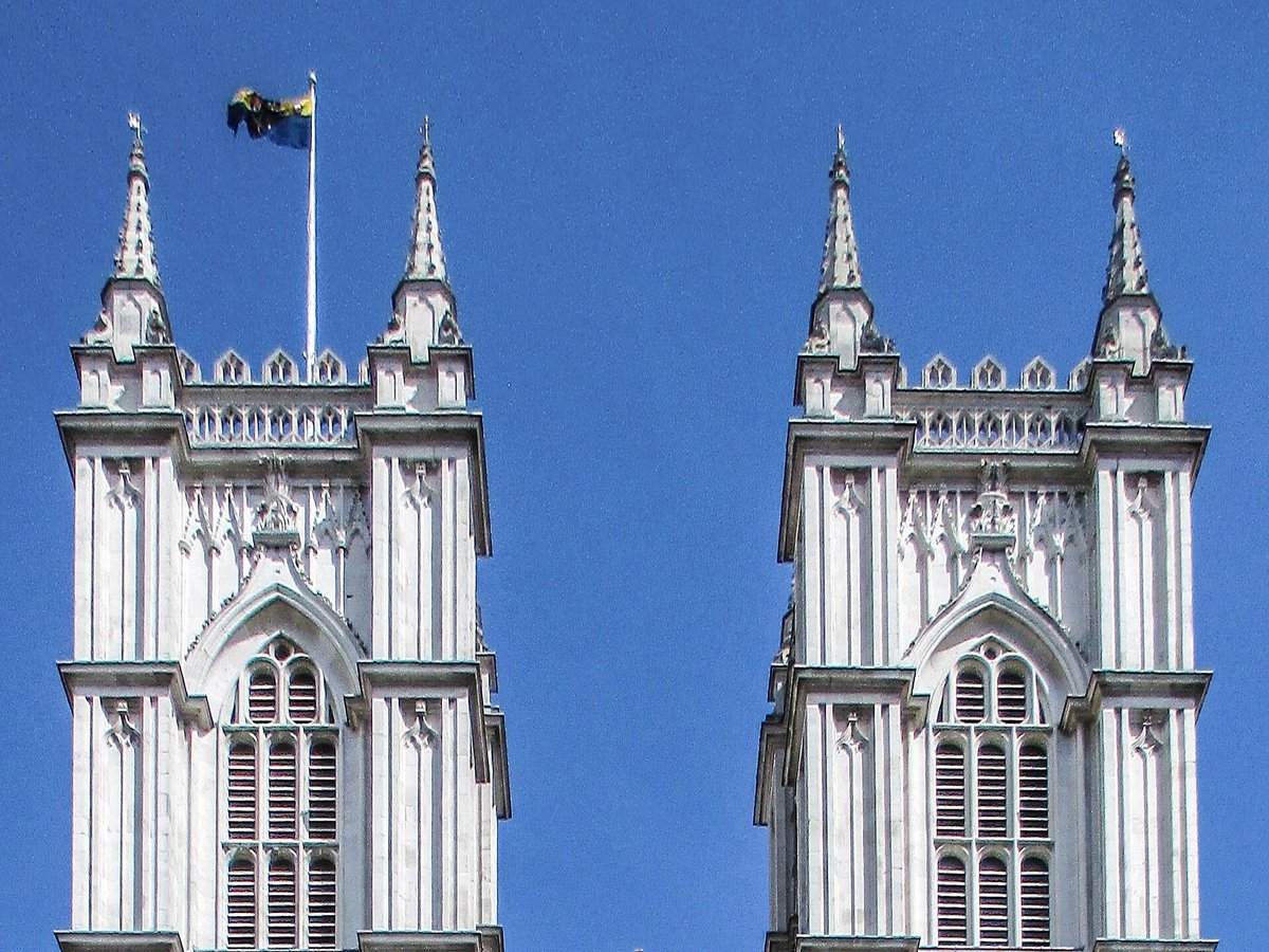
More landmarks in United Kingdom
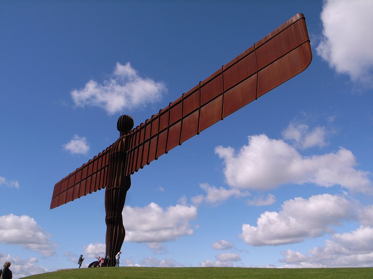
More natural wonders



Frequently asked questions
What is White Cliffs of Dover?
The White Cliffs of Dover are the region of English coastline facing the Strait of Dover and France.
Where is White Cliffs of Dover located?
White Cliffs of Dover is in Dover, United Kingdom. Its coordinates are 51.1078° N, 1.2786° E.
How do I get to White Cliffs of Dover?
The nearest town is Dover, and the nearest airport is Kent International Airport (MSE), about 17.0 miles away (straight line).
What is the history of White Cliffs of Dover?
In 55 BC, in the earliest recorded mention of the cliffs, Julius Caesar described them in his "Commentarii de Bello Gallico" as rising steeply from the sea and defended by armed Britons, preventing his forces from landing. A possible Iron Age hillfort has been discovered at Dover, on the site of the later castle.
Sources
- https://en.wikipedia.org/wiki/White_Cliffs_of_Dover — Wikipedia article — overview, history and core facts (CC BY-SA).
- https://www.wikidata.org/wiki/Q754785 — Wikidata — built year, architect, height/size, visitors, official website (CC0).
- https://www.nationaltrust.org.uk/the-white-cliffs-of-dover — Official website of the landmark / managing body.
- https://github.com/jbrooksuk/JSON-Airports — Nearest major airport computed from landmark and airport coordinates (haversine); airport list: jbrooksuk/JSON-Airports.
Page last updated 13 November 2026.