
Natural Wonder · Victoria Falls, Zimbabwe
Victoria Falls
Victoria Falls (Lozi: Mosi-oa-Tunya, "Thundering Smoke/Smoke that Rises"; Tonga: Shungu Namutitima, "Boiling Water") is a waterfall on the Zambezi River, located on the border between Zambia and Zimbabwe.
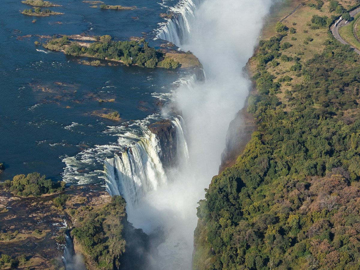
Photo: Diego Delso via Wikimedia Commons, CC BY-SA 4.0. Cropped and resized for display.
Landmark facts
| Location | Victoria Falls, Zimbabwe |
|---|---|
| Type | Natural Wonder |
| Height | Height: 108 m |
| Coordinates | 17.9244° S, 25.8567° E |
Every fact above is taken from the sources listed below; anything no source states is left blank rather than guessed.
What Victoria Falls is known for
Victoria Falls (Lozi: Mosi-oa-Tunya, "Thundering Smoke/Smoke that Rises"; Tonga: Shungu Namutitima, "Boiling Water") is a waterfall on the Zambezi River, located on the border between Zambia and Zimbabwe.
About Victoria Falls
Victoria Falls (Lozi: Mosi-oa-Tunya, "Thundering Smoke/Smoke that Rises"; Tonga: Shungu Namutitima, "Boiling Water") is a waterfall on the Zambezi River, located on the border between Zambia and Zimbabwe. It is one of the world's largest waterfalls, with a width of 1,708 m (5,604 ft). The region around it has a high degree of biodiversity in both plants and animals.
History
The basalt plateau of Victoria Falls, over which the Zambezi River flows, was formed during the Jurassic period, around 200 million years ago. Early Stone Age Acheulean stone artefacts and Oldowan tools were excavated at archaeological sites around the falls, as well as Sangoan tools and Lupemban artefacts dating to the Middle Stone Age. Early Iron Age pottery was excavated at a vlei site near Masuma Dam in the early 1960s.
Best time to visit
February to May for the highest water flow; September to December for the best views of the rock face.
How to get there
| Nearest town | Victoria Falls |
|---|---|
| Nearest airport | Livingstone Airport (LVI) |
| Distance from the airport | 7.5 miles (straight line) |
Nearest major airport by straight-line distance from the landmark’s coordinates; road distance will be longer.
Airports near this landmark
The airports a visitor would actually fly into, nearest first — each link opens its profile on our sister site AirportProfiles.
- Harry Mwanga Nkumbula International Airport (LVI) · Livingstone, Zambia · 7.5 miles away
- Victoria Falls International Airport (VFA) · Victoria Falls, Zimbabwe · 12.0 miles away
- Kasane International Airport (BBK) · Kasane, Botswana · 45.9 miles away
Landmarks nearby
The closest landmarks in this library, by straight-line distance.
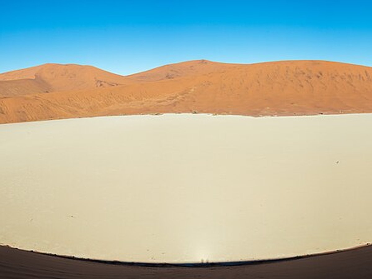
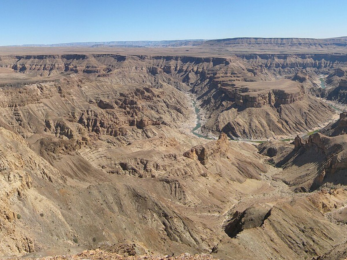
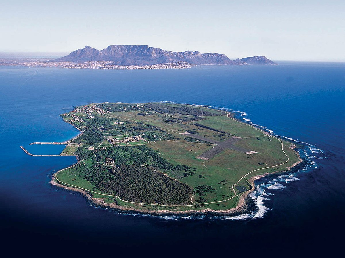
More landmarks in Zimbabwe
More natural wonders
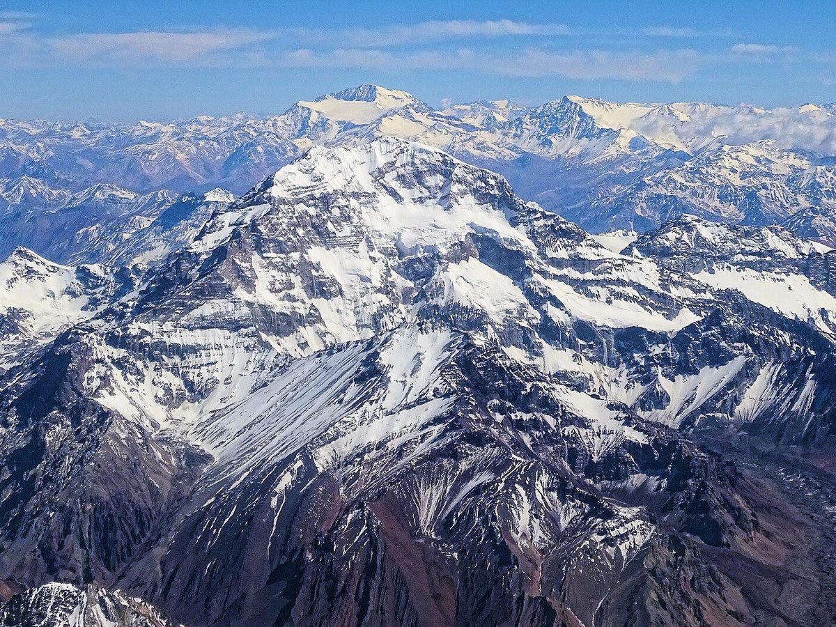

Frequently asked questions
What is Victoria Falls?
Victoria Falls (Lozi: Mosi-oa-Tunya, "Thundering Smoke/Smoke that Rises"; Tonga: Shungu Namutitima, "Boiling Water") is a waterfall on the Zambezi River, located on the border between Zambia and Zimbabwe.
Where is Victoria Falls located?
Victoria Falls is in Victoria Falls, Zimbabwe. Its coordinates are 17.9244° S, 25.8567° E.
How do I get to Victoria Falls?
The nearest town is Victoria Falls, and the nearest airport is Livingstone Airport (LVI), about 7.5 miles away (straight line).
When is the best time to visit Victoria Falls?
February to May for the highest water flow; September to December for the best views of the rock face.
Sources
- https://en.wikipedia.org/wiki/Victoria_Falls — Wikipedia article — overview, history and core facts (CC BY-SA).
- https://www.wikidata.org/wiki/Q43278 — Wikidata — built year, architect, height/size, visitors, official website (CC0).
- https://github.com/jbrooksuk/JSON-Airports — Nearest major airport computed from landmark and airport coordinates (haversine); airport list: jbrooksuk/JSON-Airports.
- https://www.zambiatourism.com/ — Official tourism / managing-body page — best time to visit.
Page last updated 13 November 2026.