
Historic Site · Dambulla, Sri Lanka
Sigiriya
An ancient rock fortress with a palace on its summit, one of the best preserved examples of ancient urban planning. Built 477–495.
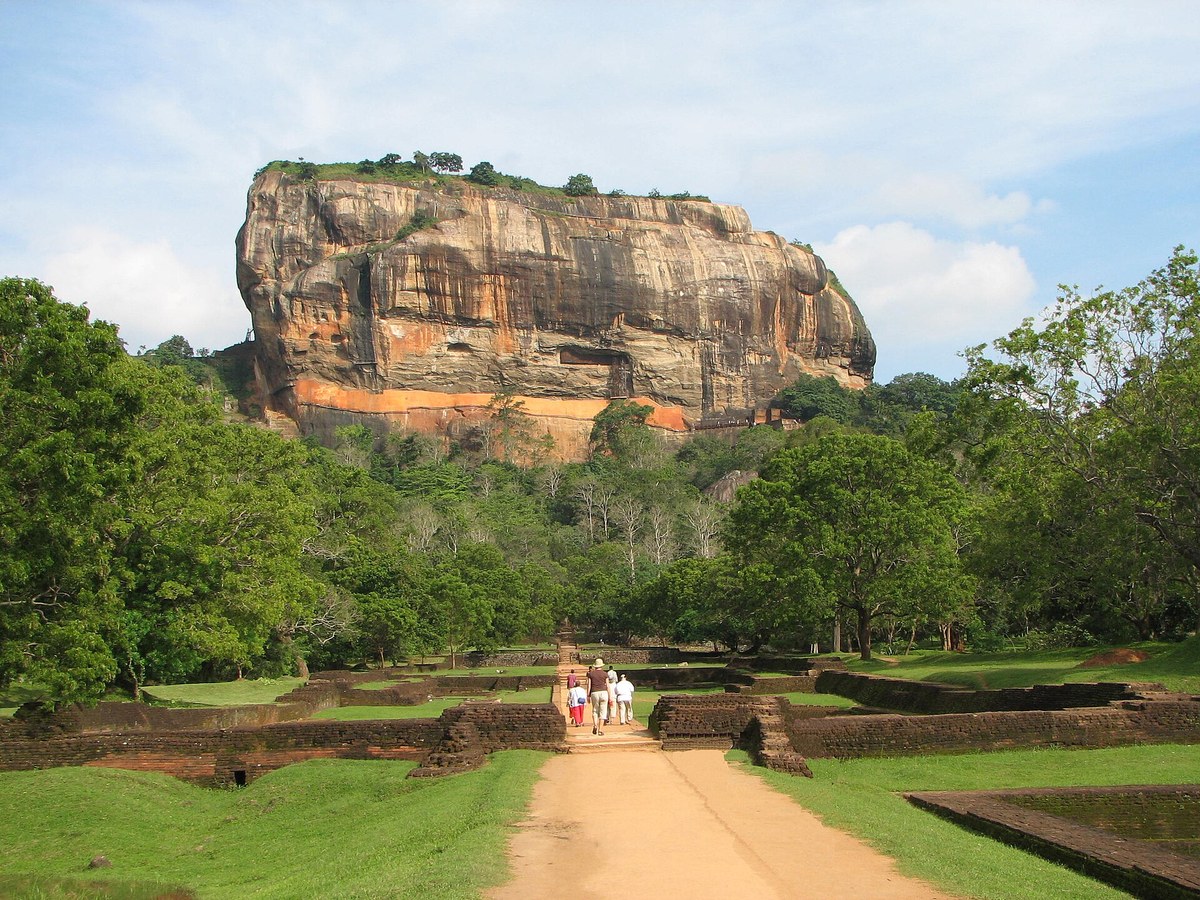
Photo: Bernard Gagnon via Wikimedia Commons, CC BY-SA 3.0. Cropped and resized for display.
Landmark facts
| Location | Dambulla, Sri Lanka |
|---|---|
| Type | Historic Site |
| Built | 477–495 |
| Height | Height: 180 m |
| Coordinates | 7.9569° N, 80.7597° E |
Every fact above is taken from the sources listed below; anything no source states is left blank rather than guessed.
What Sigiriya is known for
An ancient rock fortress with a palace on its summit, one of the best preserved examples of ancient urban planning.
About Sigiriya
Sigiriya or Sinhagiri, the Lion Rock, is an ancient rock fortress located in the northern Matale District near the town of Dambulla in the Central Province, Sri Lanka. It is a site of historical and archaeological significance that is dominated by a massive column of granite approximately 180 m high. According to the ancient Sri Lankan chronicle the Culavamsa, this area was a large forest, then after storms and landslides it became a hill and was selected by King Kashyapa, who ruled from 477 to 495 CE, for his new capital. He built his palace on top of this rock and decorated its sides with colourful frescoes.
History
In 477 CE, Kashyapa I seized the throne in a coup and, expecting the return of his half-brother Moggallana, moved the capital and his residence from Anuradhapura to the more secure summit of Sigiriya. During King Kashyapa's reign from 477 to 495 CE, Sigiriya was developed into a complex city and fortress, and most of the elaborate constructions on the rock summit and around it date from this period. When Moggallana finally arrived, he defeated Kashyapa in 495 CE, returned the capital to Anuradhapura, and converted Sigiriya into a Buddhist monastery complex, which survived until the 13th or 14th century.
How to get there
| Nearest town | Dambulla |
|---|---|
| Nearest airport | China Bay Airport (TRR) |
| Distance from the airport | 49.5 miles (straight line) |
Nearest major airport by straight-line distance from the landmark's coordinates; road distance will be longer.
Airports near this landmark
The airports a visitor would actually fly into, nearest first — each link opens its profile on our sister site AirportProfiles.
- Bandaranaike International Colombo Airport (CMB) · Colombo, Sri Lanka · 80.5 miles away
- Colombo Ratmalana International Airport (RML) · Colombo, Sri Lanka · 98.7 miles away
- Jaffna International Airport (JAF) · Jaffna, Sri Lanka · 135.3 miles away
Landmarks nearby
The closest landmarks in this library, by straight-line distance.
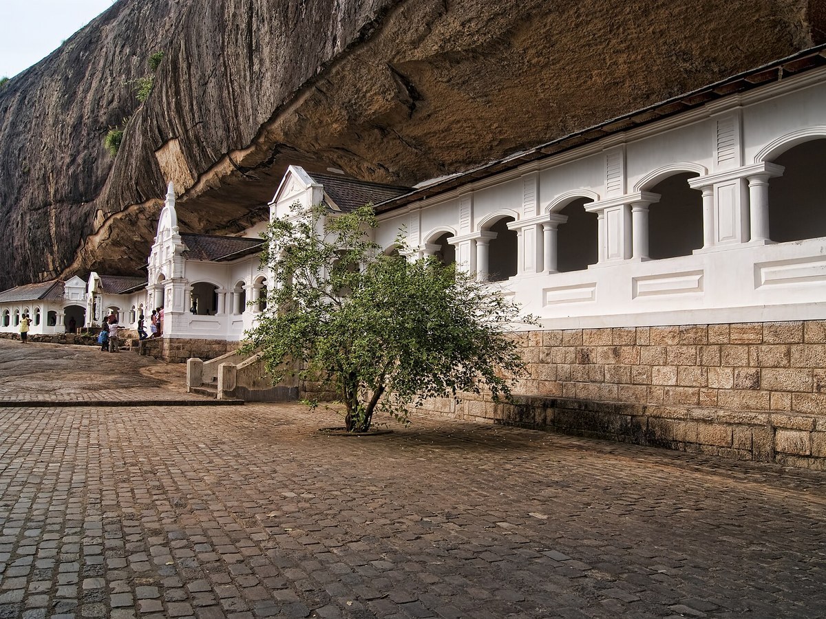
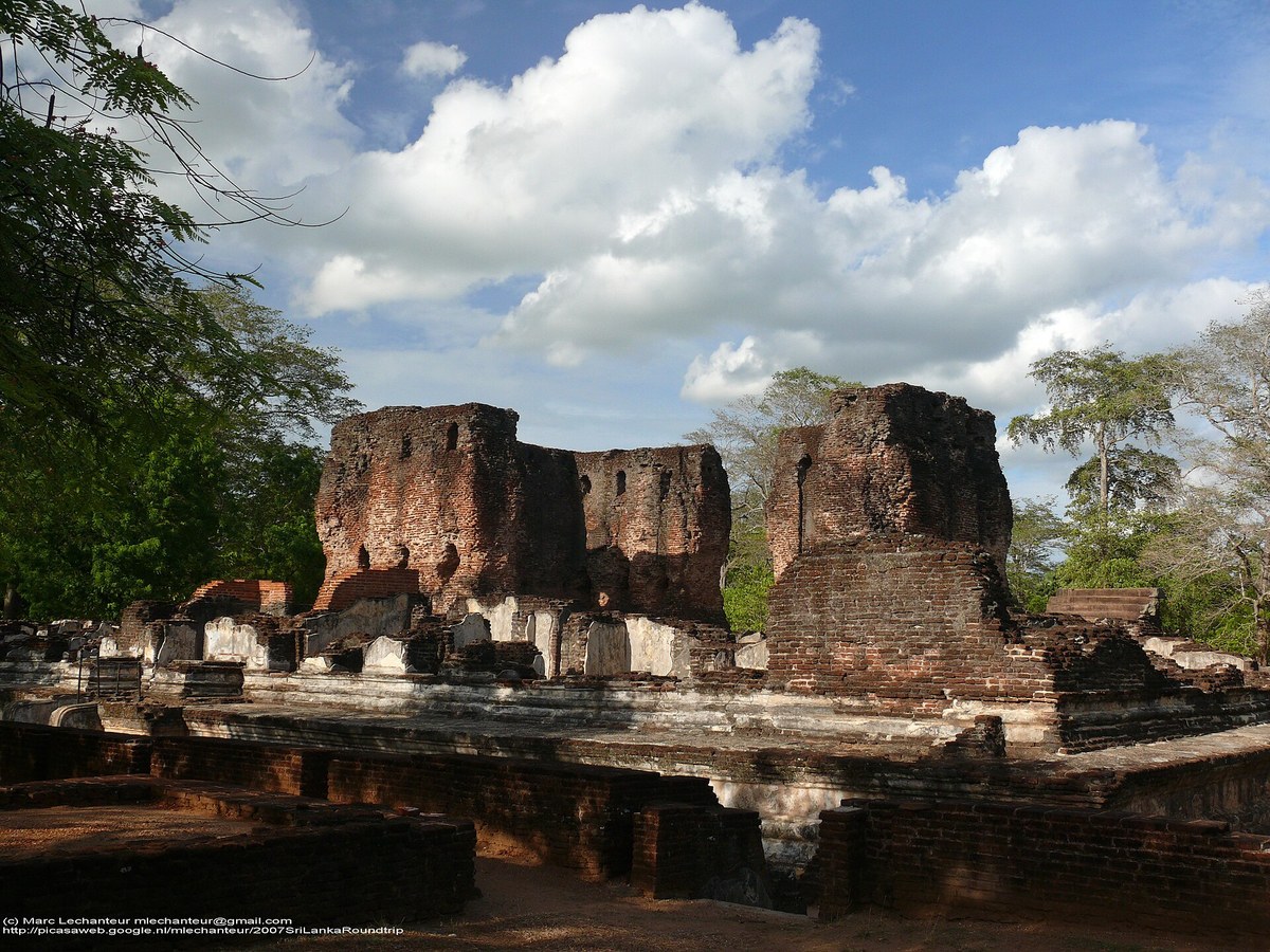
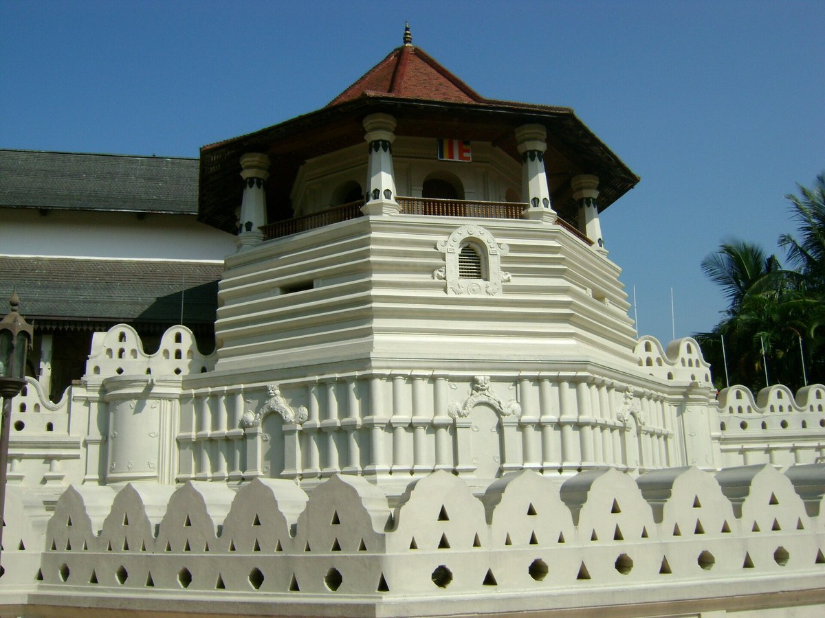
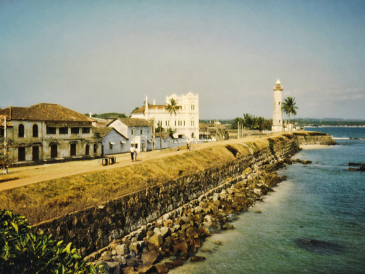
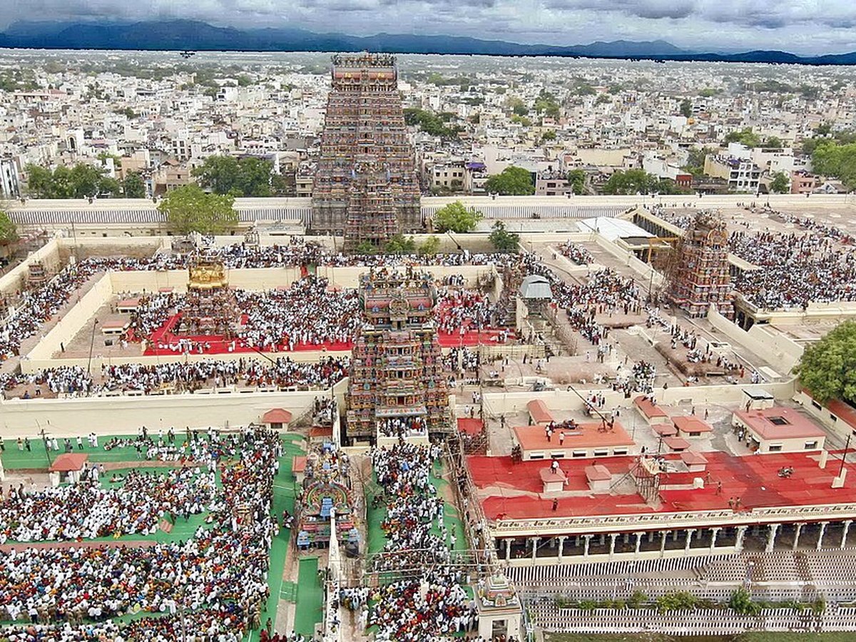
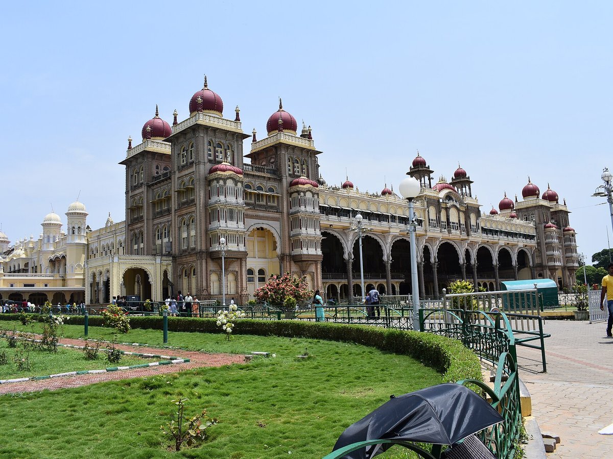
More landmarks in Sri Lanka
More historic sites





Frequently asked questions
What is Sigiriya?
An ancient rock fortress with a palace on its summit, one of the best preserved examples of ancient urban planning.
Where is Sigiriya located?
Sigiriya is in Dambulla, Sri Lanka. Its coordinates are 7.9569° N, 80.7597° E.
How do I get to Sigiriya?
The nearest town is Dambulla, and the nearest airport is China Bay Airport (TRR), about 49.5 miles away (straight line).
When was Sigiriya built?
Sigiriya was built 477–495.
Sources
- https://en.wikipedia.org/wiki/Sigiriya — Wikipedia article — overview, history and core facts (CC BY-SA).
- https://www.wikidata.org/wiki/Q272153 — Wikidata — built year, architect, height/size, visitors, official website (CC0).
- https://github.com/jbrooksuk/JSON-Airports — Nearest major airport computed from landmark and airport coordinates (haversine); airport list: jbrooksuk/JSON-Airports.
Page last updated 13 November 2026.