
Monument · Keystone, United States
Mount Rushmore
The Mount Rushmore National Memorial is a national memorial featuring a colossal sculpture carved into the granite face of Mount Rushmore in the Black Hills, ab.
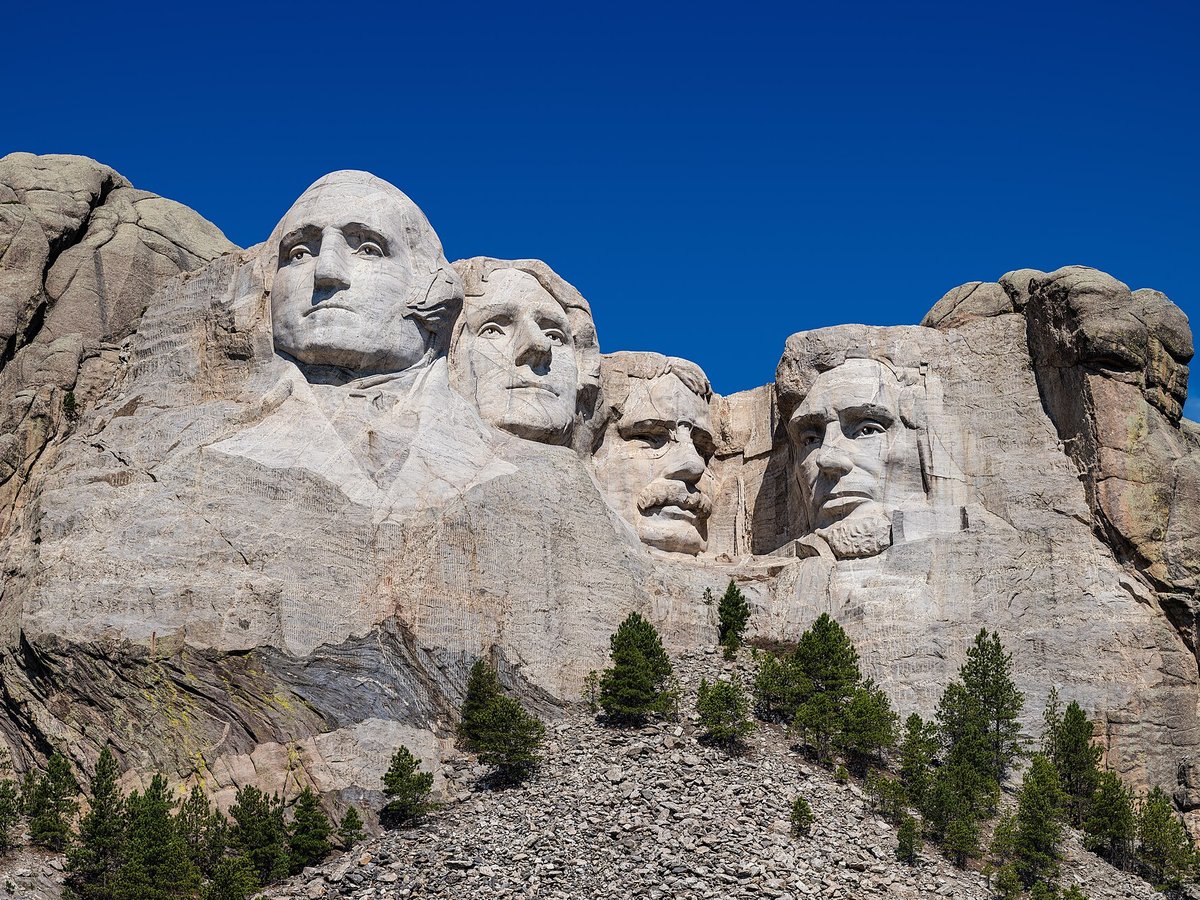
Photo: Thomas Wolf, www.foto-tw.de via Wikimedia Commons, CC BY-SA 3.0. Cropped and resized for display.
Landmark facts
| Location | Keystone, United States |
|---|---|
| Type | Monument |
| Elevation | Elevation: 1745 m |
| Coordinates | 43.8789° N, 103.4592° W |
Every fact above is taken from the sources listed below; anything no source states is left blank rather than guessed.
What Mount Rushmore is known for
The Mount Rushmore National Memorial is a national memorial featuring a colossal sculpture carved into the granite face of Mount Rushmore in the Black Hills, ab.
About Mount Rushmore
The Mount Rushmore National Memorial is a national memorial featuring a colossal sculpture carved into the granite face of Mount Rushmore in the Black Hills, about 2 mi (3 km) southwest of Keystone, South Dakota, United States. The sculptor, Gutzon Borglum, named it the Shrine of Democracy, and oversaw the execution from 1927 to 1941 with the help of his son, Lincoln Borglum. The sculpture features 60-foot-tall (18 m) depictions of the heads of four United States presidents: George Washington, Thomas Jefferson, Theodore Roosevelt, and Abraham Lincoln, respectively chosen to represent the nation's foundation, expansion, development, and preser
History
The peak that would later be known as Mount Rushmore is situated in the Black Hills, which has been inhabited by numerous indigenous groups over the centuries. The Ponca, Arikara, and Mandan were among the earliest recorded inhabitants, and were later displaced by the Kiowa, Plains Apache, and Shoshone. By 1800 those groups were supplanted by the Cheyenne, Arapaho, and Lakota Sioux, with the Lakota becoming the majority in the area by 1850.
Best time to visit
May to September, when all facilities are open; winter is quiet with possible snow.
How to get there
| Nearest town | Keystone |
|---|---|
| Nearest airport | Rapid City Regional Airport (RAP) |
| Distance from the airport | 22.6 miles (straight line) |
Nearest major airport by straight-line distance from the landmark’s coordinates; road distance will be longer.
Airports near this landmark
The airports a visitor would actually fly into, nearest first — each link opens its profile on our sister site AirportProfiles.
- Rapid City Regional Airport (RAP) · Rapid City, United States · 23.1 miles away
- Chadron Municipal Airport (CDR) · Chadron, United States · 74.2 miles away
- Northeast Wyoming Regional Airport (GCC) · Gillette, United States · 108.2 miles away
Landmarks nearby
The closest landmarks in this library, by straight-line distance.
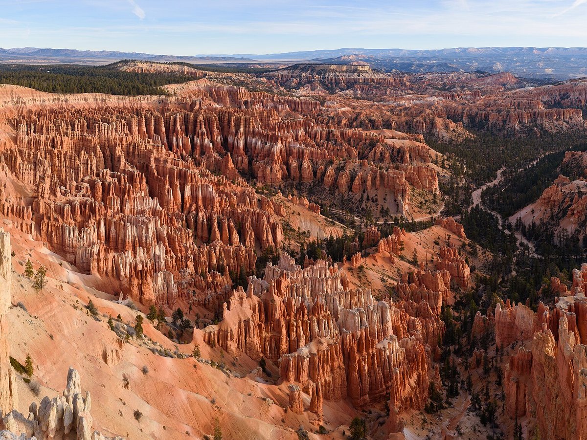
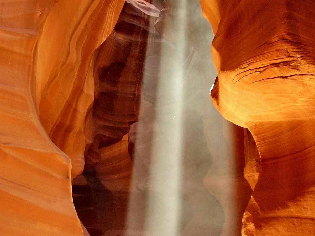
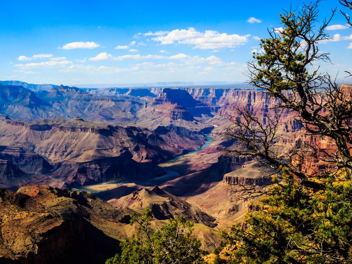
More landmarks in United States

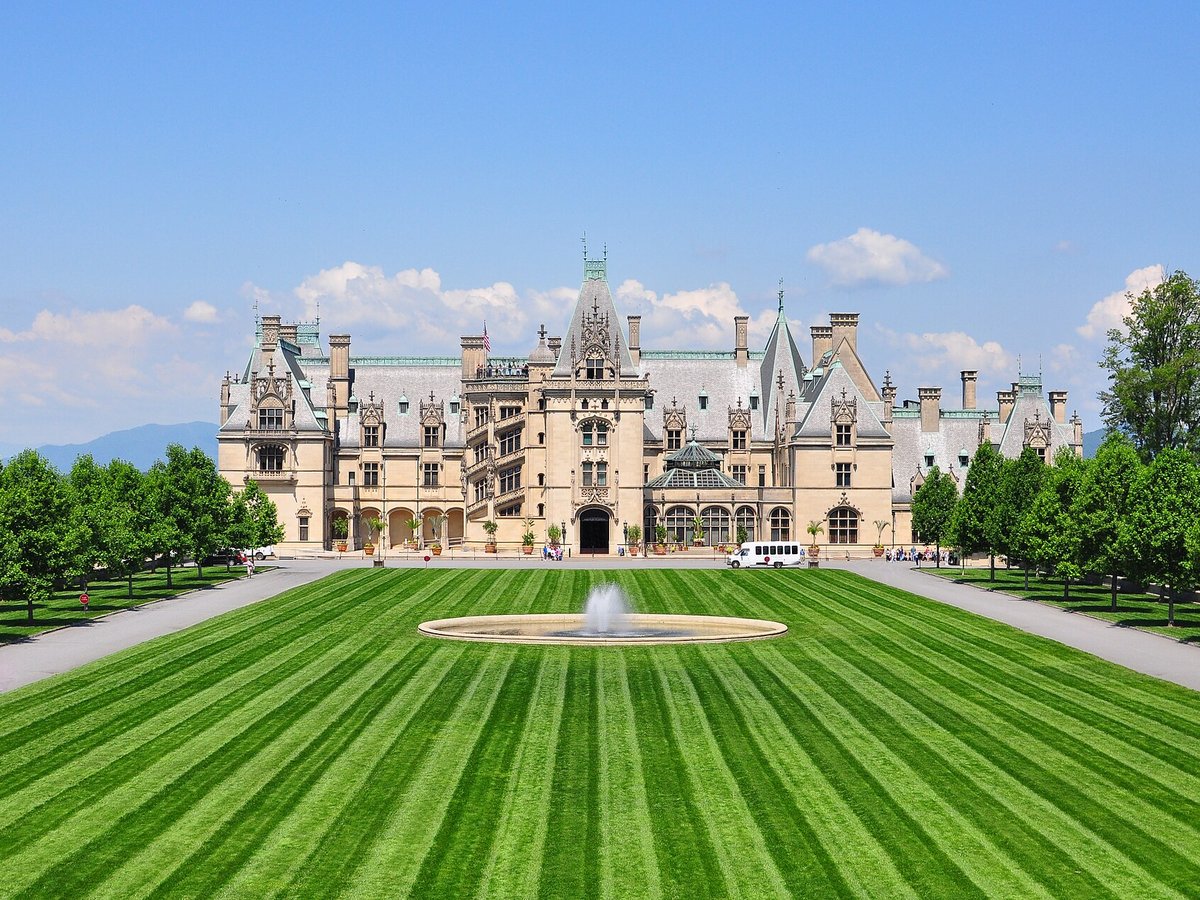
More monuments

Frequently asked questions
What is Mount Rushmore?
The Mount Rushmore National Memorial is a national memorial featuring a colossal sculpture carved into the granite face of Mount Rushmore in the Black Hills, ab.
Where is Mount Rushmore located?
Mount Rushmore is in Keystone, United States. Its coordinates are 43.8789° N, 103.4592° W.
How do I get to Mount Rushmore?
The nearest town is Keystone, and the nearest airport is Rapid City Regional Airport (RAP), about 22.6 miles away (straight line).
When is the best time to visit Mount Rushmore?
May to September, when all facilities are open; winter is quiet with possible snow.
Sources
- https://en.wikipedia.org/wiki/Mount_Rushmore — Wikipedia article — overview, history and core facts (CC BY-SA).
- https://www.wikidata.org/wiki/Q83497 — Wikidata — built year, architect, height/size, visitors, official website (CC0).
- https://github.com/jbrooksuk/JSON-Airports — Nearest major airport computed from landmark and airport coordinates (haversine); airport list: jbrooksuk/JSON-Airports.
- https://www.nps.gov/moru/index.htm — Official tourism / managing-body page — best time to visit.
Page last updated 13 November 2026.