
Natural Wonder · Hilo, United States
Mauna Kea
Mauna Kea is a dormant shield volcano on the island of Hawaiʻi.
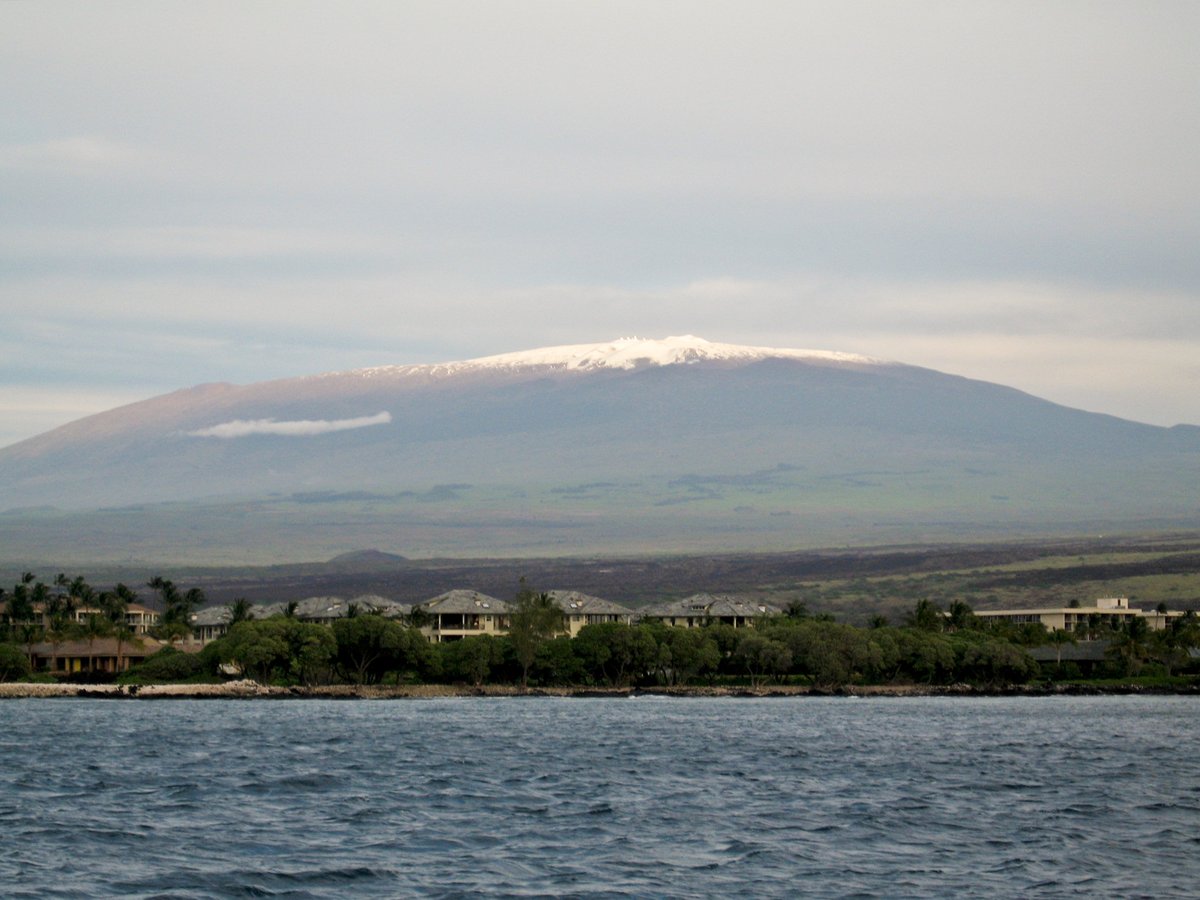
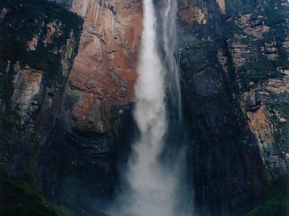
Photo: Vadim Kurland via Wikimedia Commons, CC BY 2.0. Cropped and resized for display.
Landmark facts
| Location | Hilo, United States |
|---|---|
| Type | Natural Wonder |
| Elevation | Elevation: 4,207 m |
| Coordinates | 19.8206° N, 155.4681° W |
Every fact above is taken from the sources listed below; anything no source states is left blank rather than guessed.
What Mauna Kea is known for
Mauna Kea is a dormant shield volcano on the island of Hawaiʻi.
About Mauna Kea
Mauna Kea is a dormant shield volcano on the island of Hawaiʻi. Its peak is 13,803 feet (4,207.3 meters) above sea level, making it the highest point in Hawaii and the island with the second highest high point, behind New Guinea. The peak is about 125 ft (38 m) higher than Mauna Loa, its more massive neighbor.
History
Human history Native history A stone structure or Ahu facing Mauna Kea, on Saddle Road between Mauna Kea and Mauna Loa The first Ancient Hawaiians to arrive on Hawaiʻi island lived along the shores, where food and water were plentiful. Settlement expanded inland to the Mauna Loa – Mauna Kea region in the 12th and early 13th centuries. Archaeological evidence suggests that these regions were used for hunting, collecting stone material, and possibly for spiritual reasons or for astronomical or navigational observations.
How to get there
| Nearest town | Hilo |
|---|---|
| Nearest airport | Waimea Kohala Airport (MUE) |
| Distance from the airport | 18.8 miles (straight line) |
Nearest major airport by straight-line distance from the landmark’s coordinates; road distance will be longer.
Airports near this landmark
The airports a visitor would actually fly into, nearest first — each link opens its profile on our sister site AirportProfiles.
- Ellison Onizuka Kona International Airport at Keāhole (KOA) · Kailua-Kona, United States · 38.0 miles away
- Kahului International Airport (OGG) · Kahului, United States · 97.1 miles away
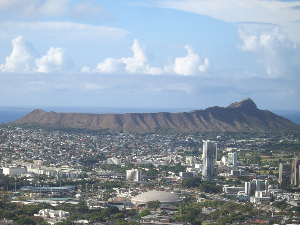
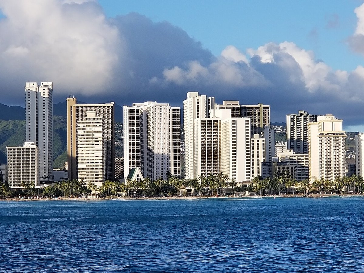
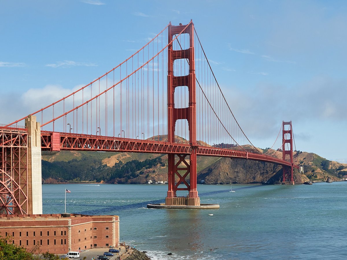
Landmarks nearby
The closest landmarks in this library, by straight-line distance.



More landmarks in United States

More natural wonders

Frequently asked questions
What is Mauna Kea?
Mauna Kea is a dormant shield volcano on the island of Hawaiʻi.
Where is Mauna Kea located?
Mauna Kea is in Hilo, United States. Its coordinates are 19.8206° N, 155.4681° W.
How do I get to Mauna Kea?
The nearest town is Hilo, and the nearest airport is Waimea Kohala Airport (MUE), about 18.8 miles away (straight line).
What is the history of Mauna Kea?
Human history Native history A stone structure or Ahu facing Mauna Kea, on Saddle Road between Mauna Kea and Mauna Loa The first Ancient Hawaiians to arrive on Hawaiʻi island lived along the shores, where food and water were plentiful. Settlement expanded inland to the Mauna Loa – Mauna Kea region in the 12th and early 13th centuries.
Sources
- https://en.wikipedia.org/wiki/Mauna_Kea — Wikipedia article — overview, history and core facts (CC BY-SA).
- https://www.wikidata.org/wiki/Q131230 — Wikidata — built year, architect, height/size, visitors, official website (CC0).
- https://github.com/jbrooksuk/JSON-Airports — Nearest major airport computed from landmark and airport coordinates (haversine); airport list: jbrooksuk/JSON-Airports.
Page last updated 13 November 2026.