
Historic Site · Arad, Israel
Masada
Masada is a mountain-top fortress complex in the Judaean Desert, overlooking the western shore of the Dead Sea in southeastern Isr.
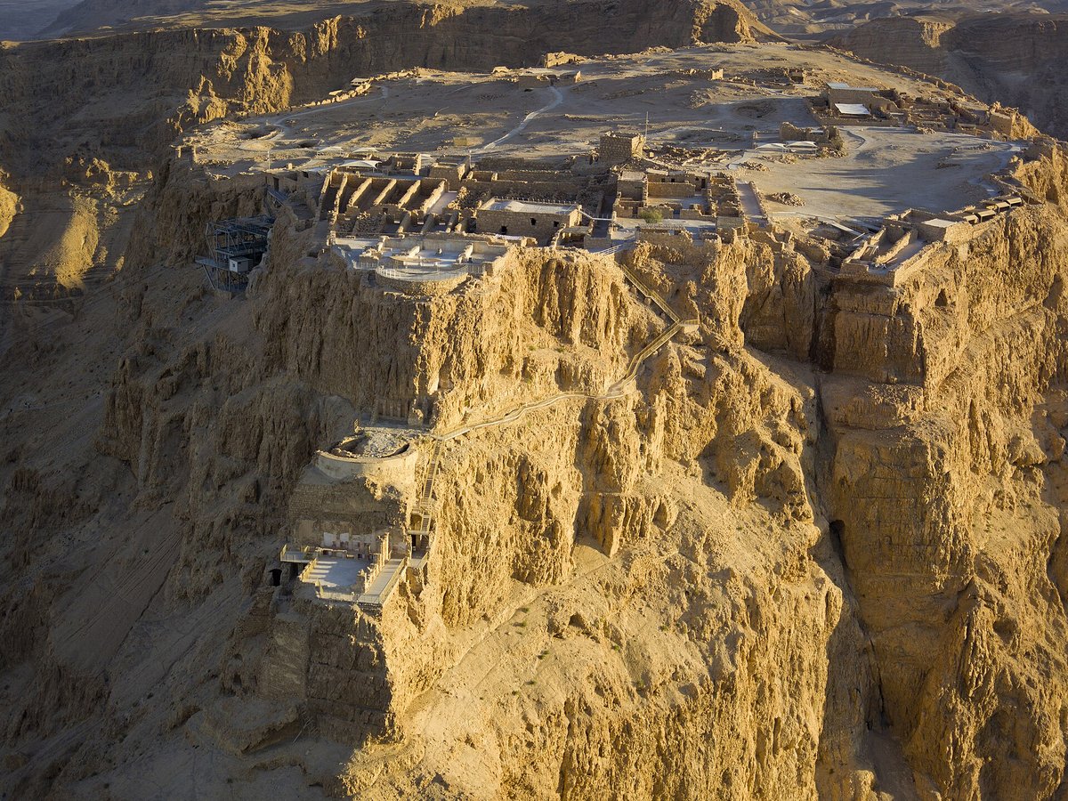
Photo: Godot13 via Wikimedia Commons, CC BY-SA 4.0. Cropped and resized for display.
Landmark facts
| Location | Arad, Israel |
|---|---|
| Type | Historic Site |
| Area | Area: 289.65 km² |
| Coordinates | 31.3156° N, 35.3539° E |
Every fact above is taken from the sources listed below; anything no source states is left blank rather than guessed.
What Masada is known for
Masada is a mountain-top fortress complex in the Judaean Desert, overlooking the western shore of the Dead Sea in southeastern Isr.
About Masada
Masada is a mountain-top fortress complex in the Judaean Desert, overlooking the western shore of the Dead Sea in southeastern Israel. The fort, built in the first century BC, was constructed atop a natural plateau rising over 400 m (1,300 ft) above the surrounding terrain, 20 km (12 mi) east of modern Arad. The most significant remains at the site date to the reign of Herod the Great, King of Judaea under Roman administration c.
History
Almost all historical information about Masada comes from the first-century Jewish Roman historian Josephus. Masada is also mentioned in the Judean Desert Documents. Josephus writes that the site was first fortified by Hasmonean ruler Alexander Jannaeus in the first century BC.
How to get there
| Nearest town | Arad |
|---|---|
| Nearest airport | Queen Alia International Airport (AMM) |
| Distance from the airport | 46.8 miles (straight line) |
Nearest major airport by straight-line distance from the landmark’s coordinates; road distance will be longer.
Airports near this landmark
The airports a visitor would actually fly into, nearest first — each link opens its profile on our sister site AirportProfiles.
- Queen Alia International Airport (AMM) · Amman, Jordan · 47.0 miles away
- Ben Gurion International Airport (TLV) · Tel Aviv, Israel · 55.4 miles away
- Marka International (Amman Civil) Airport (ADJ) · Amman, Jordan · 58.9 miles away
Landmarks nearby
The closest landmarks in this library, by straight-line distance.
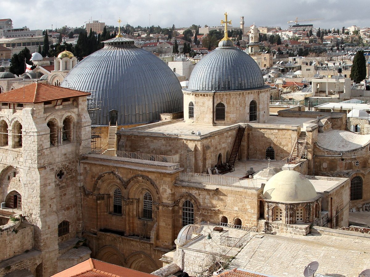
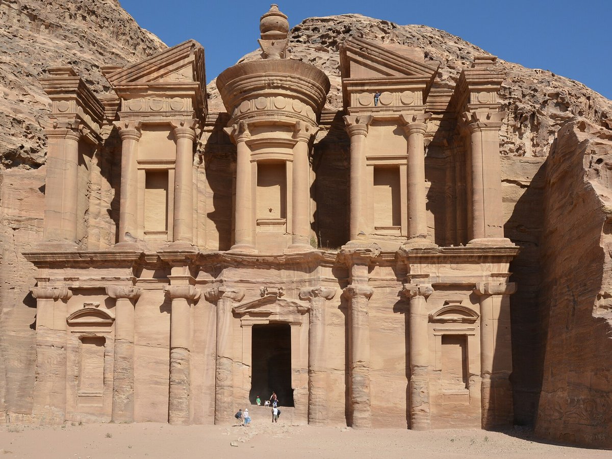
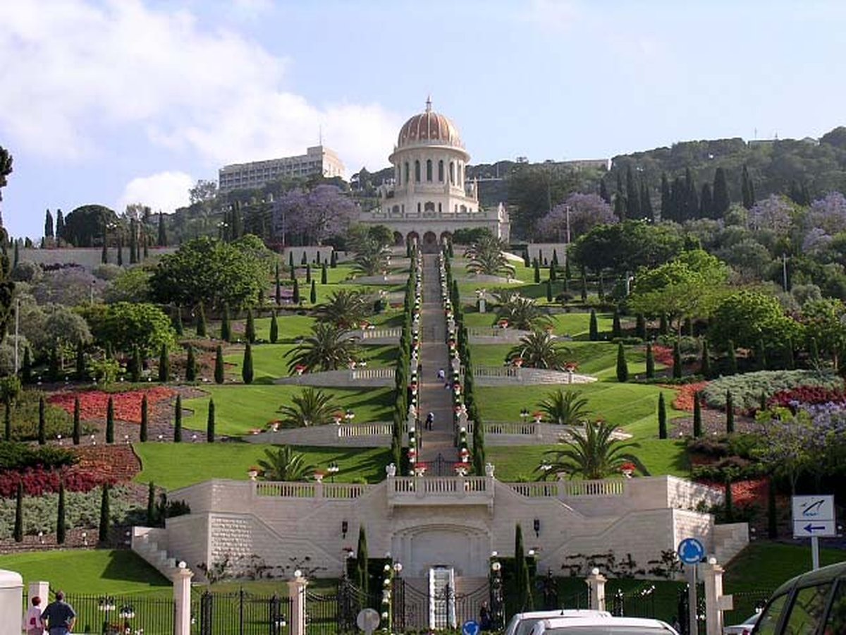
More landmarks in Israel
More historic sites





Frequently asked questions
What is Masada?
Masada is a mountain-top fortress complex in the Judaean Desert, overlooking the western shore of the Dead Sea in southeastern Isr.
Where is Masada located?
Masada is in Arad, Israel. Its coordinates are 31.3156° N, 35.3539° E.
How do I get to Masada?
The nearest town is Arad, and the nearest airport is Queen Alia International Airport (AMM), about 46.8 miles away (straight line).
What is the history of Masada?
Almost all historical information about Masada comes from the first-century Jewish Roman historian Josephus. Masada is also mentioned in the Judean Desert Documents.
Sources
- https://en.wikipedia.org/wiki/Masada — Wikipedia article — overview, history and core facts (CC BY-SA).
- https://www.wikidata.org/wiki/Q186312 — Wikidata — built year, architect, height/size, visitors, official website (CC0).
- https://github.com/jbrooksuk/JSON-Airports — Nearest major airport computed from landmark and airport coordinates (haversine); airport list: jbrooksuk/JSON-Airports.
Page last updated 13 November 2026.