
Historic Site · Bridgetown, Barbados
Historic Bridgetown and its Garrison
Bridgetown is the capital and largest city of Barbados. Built 1628.
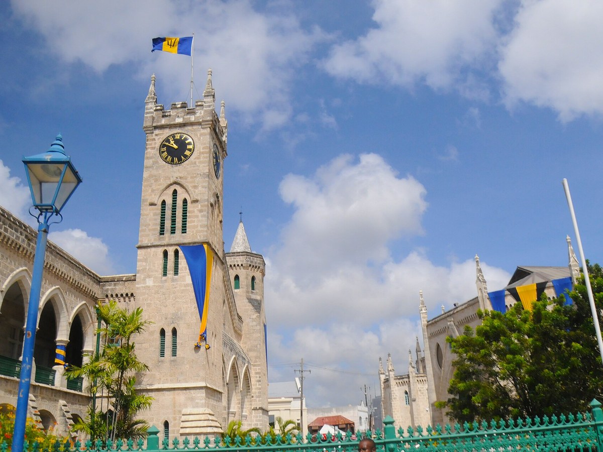
Photo: David Broad via Wikimedia Commons, CC BY 3.0. Cropped and resized for display.
Landmark facts
| Location | Bridgetown, Barbados |
|---|---|
| Type | Historic Site |
| Built | 1628 |
| Coordinates | 13.0969° N, 59.6131° W |
Every fact above is taken from the sources listed below; anything no source states is left blank rather than guessed.
What Historic Bridgetown and its Garrison is known for
Bridgetown is the capital and largest city of Barbados.
About Historic Bridgetown and its Garrison
Bridgetown is the capital and largest city of Barbados. The present-day location of the city was established by English settlers in 1628. On 25 June 2011, 'Historic Bridgetown and its Garrison' was listed as a World Heritage Site by UNESCO.
History
Although the island was totally abandoned or uninhabited when the British arrived, one of the few traces of indigenous pre-existence on the island was a primitive bridge constructed over the Careenage area's swamp at the centre of Bridgetown. Eventually after 1654 when a new bridge was constructed over the Careenage by the British, the area became known as The Town of Saint Michael and later as Bridgetown, after Sir Tobias Bridge. Bridgetown is the only city outside the present United States that George Washington visited.
How to get there
| Nearest town | Bridgetown |
|---|---|
| Nearest airport | Grantley Adams International Airport (BGI) |
| Distance from the airport | 8.5 miles (straight line) |
Nearest major airport by straight-line distance from the landmark’s coordinates; road distance will be longer.
Airports near this landmark
The airports a visitor would actually fly into, nearest first — each link opens its profile on our sister site AirportProfiles.
- Grantley Adams International Airport (BGI) · Bridgetown, Barbados · 8.4 miles away
- Hewanorra International Airport (UVF) · Vieux Fort, Saint Lucia · 100.2 miles away
- Argyle International Airport (SVD) · Kingstown, Saint Vincent and the Grenadines · 103.4 miles away
Landmarks nearby
The closest landmarks in this library, by straight-line distance.
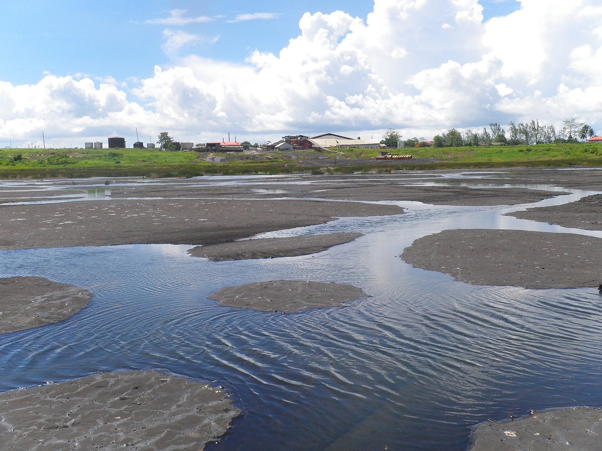
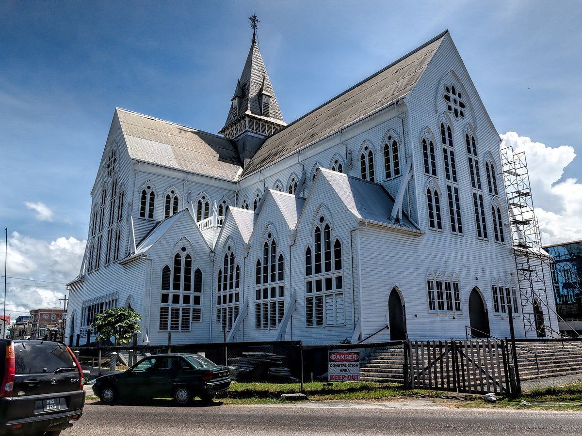
More landmarks in Barbados
More historic sites





Frequently asked questions
What is Historic Bridgetown and its Garrison?
Bridgetown is the capital and largest city of Barbados.
Where is Historic Bridgetown and its Garrison located?
Historic Bridgetown and its Garrison is in Bridgetown, Barbados. Its coordinates are 13.0969° N, 59.6131° W.
How do I get to Historic Bridgetown and its Garrison?
The nearest town is Bridgetown, and the nearest airport is Grantley Adams International Airport (BGI), about 8.5 miles away (straight line).
When was Historic Bridgetown and its Garrison built?
Historic Bridgetown and its Garrison was built 1628.
Sources
- https://en.wikipedia.org/wiki/Bridgetown — Wikipedia article — overview, history and core facts (CC BY-SA).
- https://www.wikidata.org/wiki/Q36168 — Wikidata — built year, architect, height/size, visitors, official website (CC0).
- https://en.wikipedia.org/wiki/Garrison_Historic_Area — Wikipedia article on the Garrison half of the World Heritage Site (CC BY-SA).
- https://github.com/jbrooksuk/JSON-Airports — Nearest major airport computed from landmark and airport coordinates (haversine); airport list: jbrooksuk/JSON-Airports.
Page last updated 13 November 2026.