
Natural Wonder · Göreme, Turkey
Cappadocia
Cappadocia (; Turkish: Kapadokya) is a historical region in Central Anatolia region, Turkey.
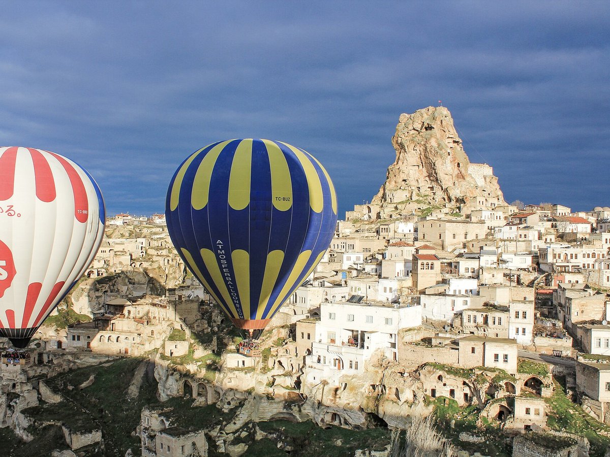
Photo: Arian Zwegers from Brussels, Belgium via Wikimedia Commons, CC BY 2.0. Cropped and resized for display.
Landmark facts
| Location | Göreme, Turkey |
|---|---|
| Type | Natural Wonder |
| Coordinates | 38.6183° N, 34.8672° E |
Every fact above is taken from the sources listed below; anything no source states is left blank rather than guessed.
What Cappadocia is known for
Cappadocia (; Turkish: Kapadokya) is a historical region in Central Anatolia region, Turkey.
About Cappadocia
Cappadocia (; Turkish: Kapadokya) is a historical region in Central Anatolia region, Turkey. It is largely in the provinces of Nevşehir, Kayseri, Aksaray, Kırşehir, Sivas and Niğde. Today, the touristic Cappadocia Region is located in Nevşehir province.
History
Cappadocia was known as Hatti in the late Bronze Age, and was the homeland of the Hittite power centred at Hattusa. After the fall of the Hittite Empire, with the decline of the Syro-Cappadocians (Mushki) after their defeat by the Lydian king Croesus in the 6th century BC, Cappadocia was ruled by a sort of feudal aristocracy, dwelling in strong castles and keeping the peasants in a servile condition, which later made them apt to foreign slavery. It was included in the third Persian satrapy in the division established by Darius but continued to be governed by rulers of its own, none apparently supreme over the whole country and all more or less tributaries of the Great King.
How to get there
| Nearest town | Göreme |
|---|---|
| Nearest airport | Nev?ehir Kapadokya International Airport (NAV) |
| Distance from the airport | 8.2 miles (straight line) |
Nearest major airport by straight-line distance from the landmark’s coordinates; road distance will be longer.
Airports near this landmark
The airports a visitor would actually fly into, nearest first — each link opens its profile on our sister site AirportProfiles.
- Nevşehir Kapadokya Airport (NAV) · Nevşehir, Turkey · 20.8 miles away
- Kayseri Erkilet International Airport (ASR) · Kayseri, Turkey · 35.5 miles away
- Çukurova International Airport (COV) · Tarsus, Turkey · 119.8 miles away
Landmarks nearby
The closest landmarks in this library, by straight-line distance.
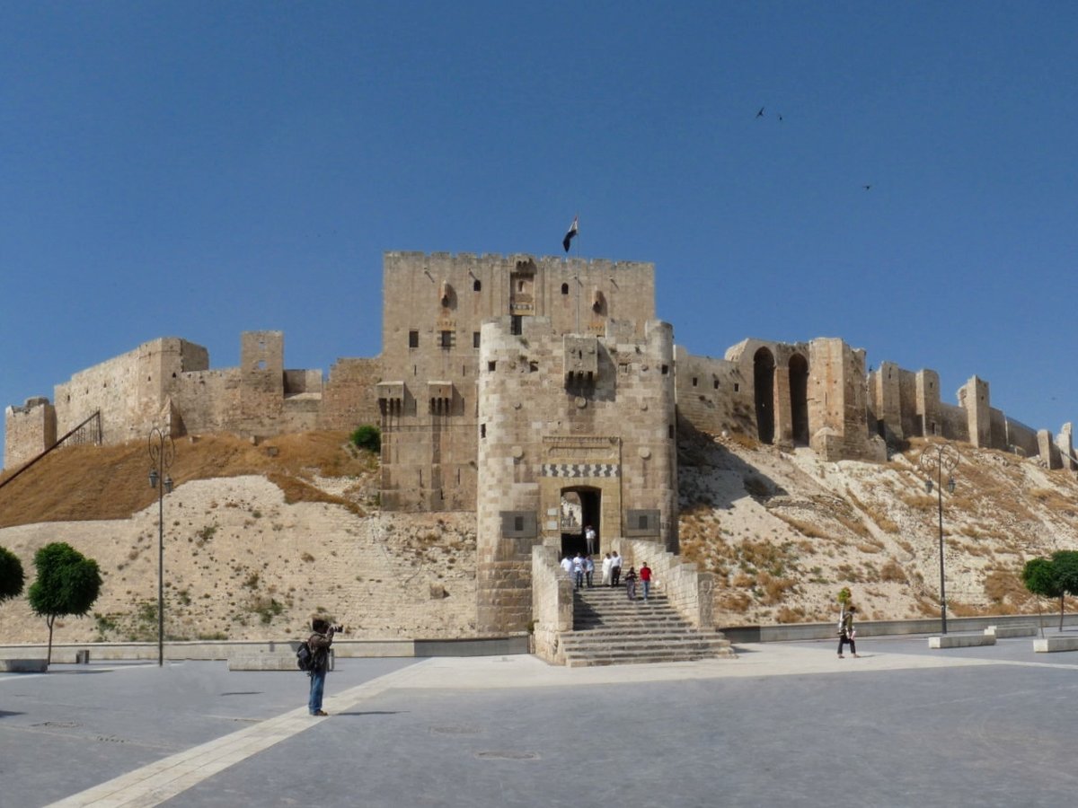
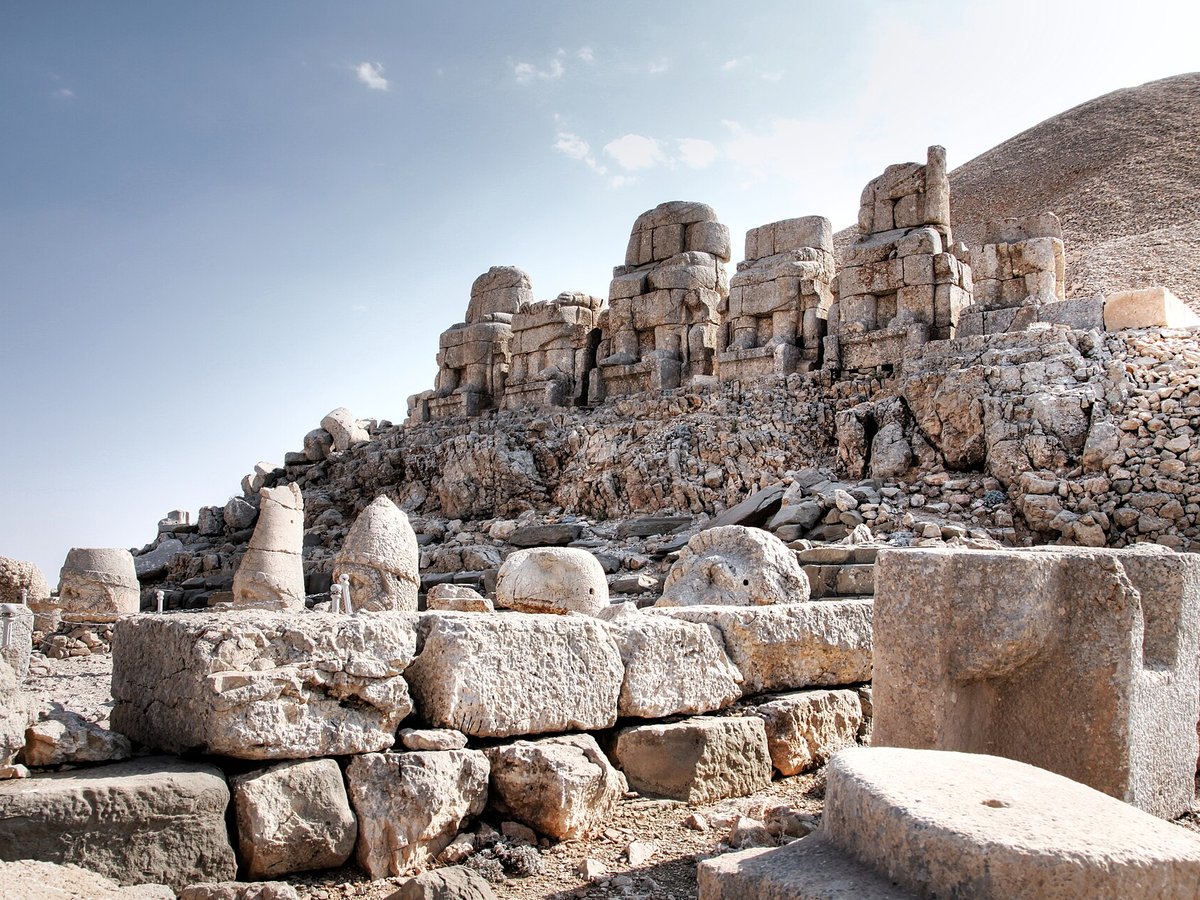
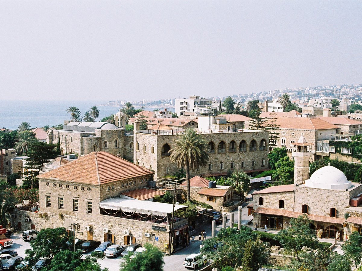
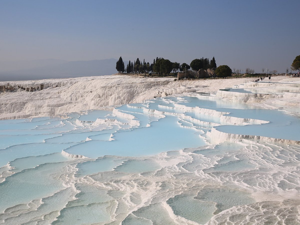
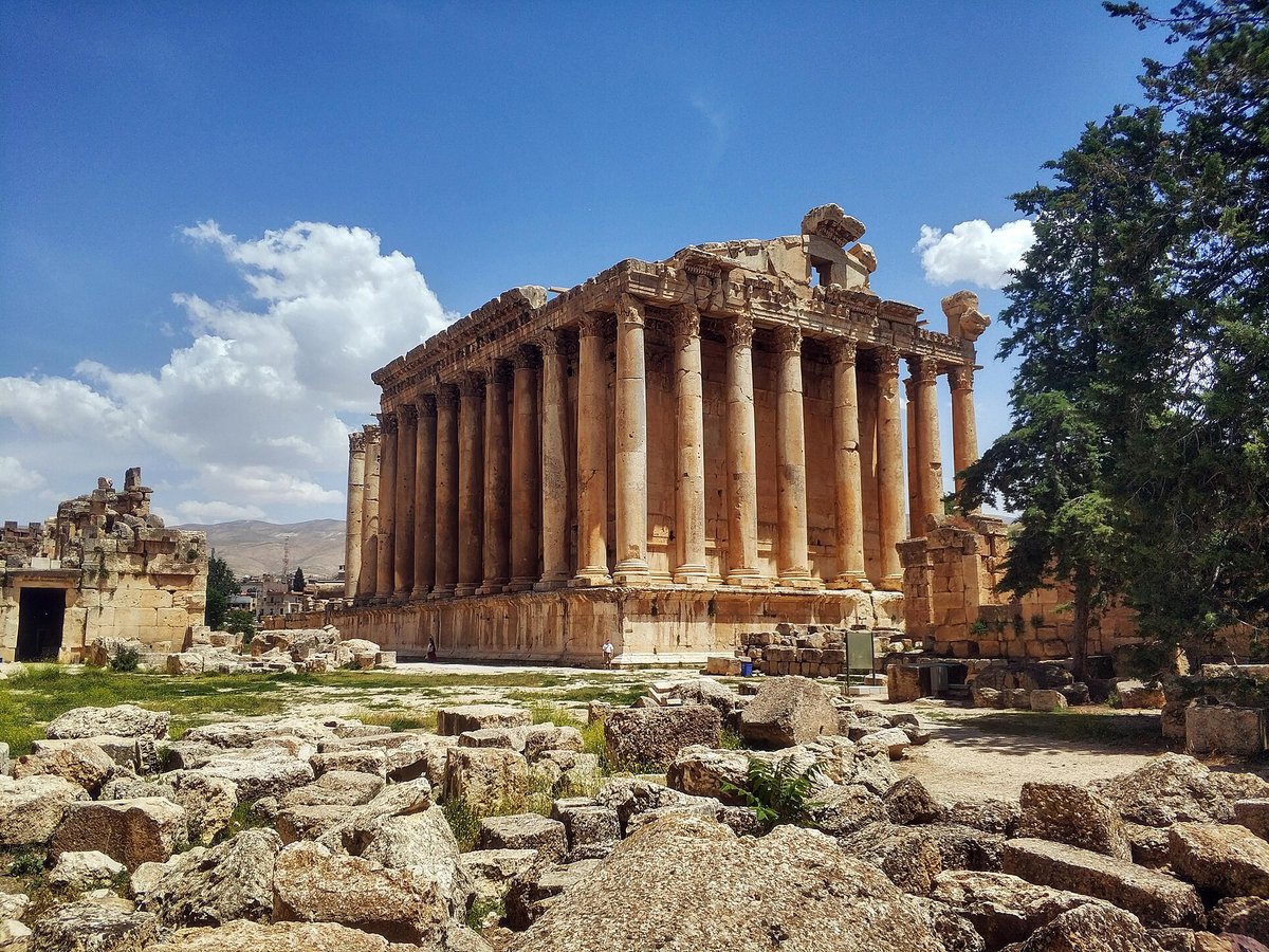
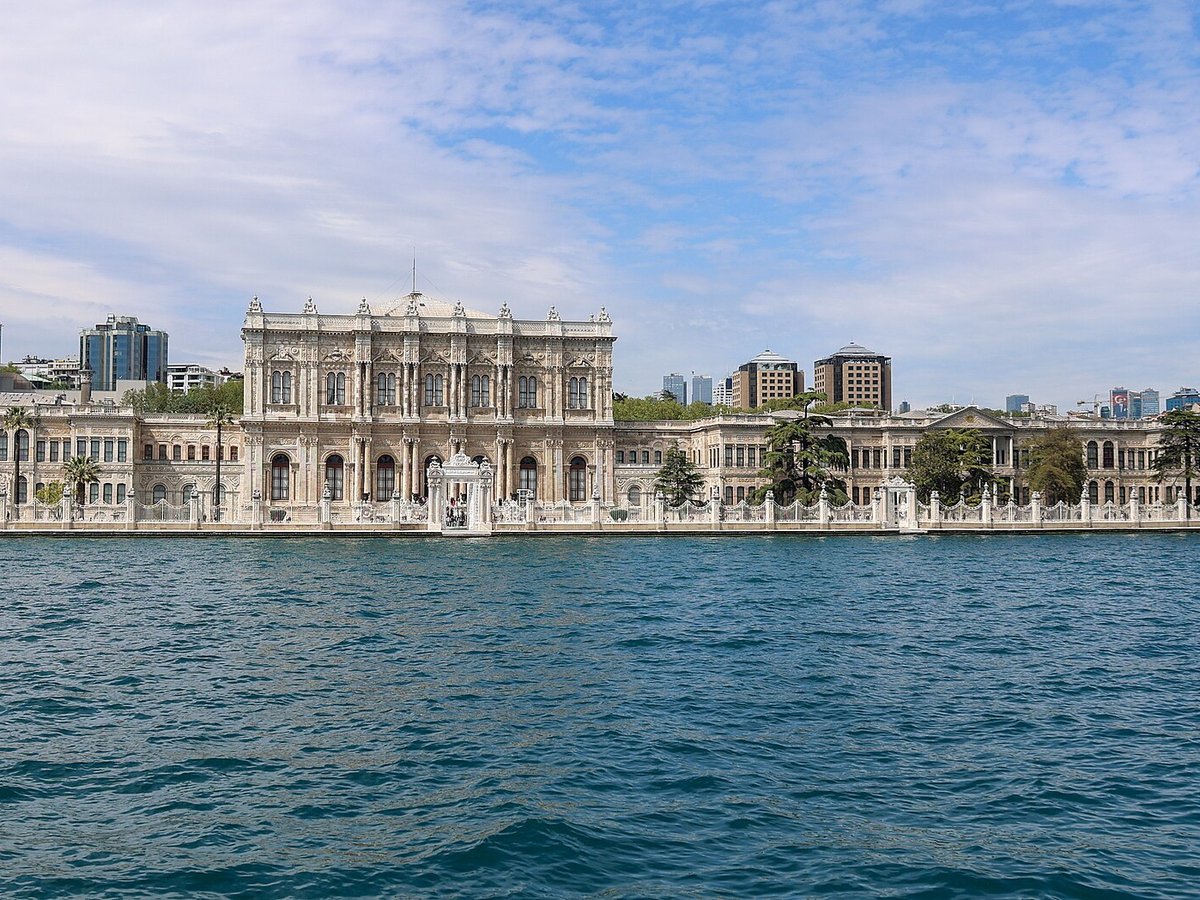
More landmarks in Turkey
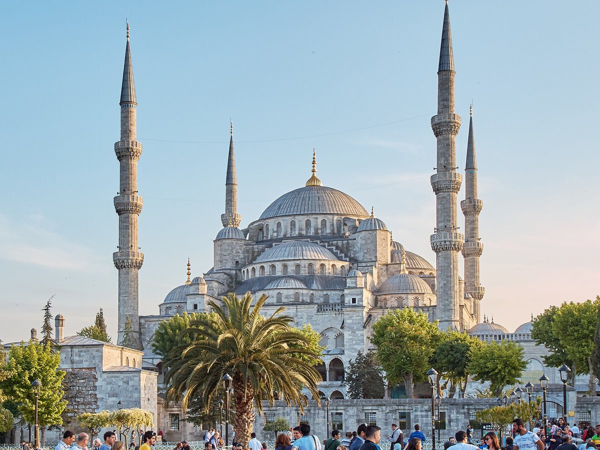
More natural wonders

Frequently asked questions
What is Cappadocia?
Cappadocia (; Turkish: Kapadokya) is a historical region in Central Anatolia region, Turkey.
Where is Cappadocia located?
Cappadocia is in Göreme, Turkey. Its coordinates are 38.6183° N, 34.8672° E.
How do I get to Cappadocia?
The nearest town is Göreme, and the nearest airport is Nev?ehir Kapadokya International Airport (NAV), about 8.2 miles away (straight line).
What is the history of Cappadocia?
Cappadocia was known as Hatti in the late Bronze Age, and was the homeland of the Hittite power centred at Hattusa. After the fall of the Hittite Empire, with the decline of the Syro-Cappadocians (Mushki) after their defeat by the Lydian king Croesus in the 6th century BC, Cappadocia was ruled by a sort of feudal aristocracy, dwelling in strong castles and keeping the peasants in a servile condition, which later made them apt to foreign slavery.
Sources
- https://en.wikipedia.org/wiki/Cappadocia — Wikipedia article — overview, history and core facts (CC BY-SA).
- https://www.wikidata.org/wiki/Q217265 — Wikidata — built year, architect, height/size, visitors, official website (CC0).
- https://github.com/jbrooksuk/JSON-Airports — Nearest major airport computed from landmark and airport coordinates (haversine); airport list: jbrooksuk/JSON-Airports.
Page last updated 13 November 2026.