
Natural Wonder · Vaitape, French Polynesia
Bora Bora
Bora Bora (French: Bora-Bora; Tahitian: Pora Pora) is a French island group in the Leeward Islands, comprising the western part of the Society Islands of French Polynesia, an.
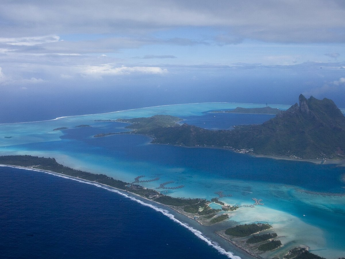
Photo: The TerraMar Project via Wikimedia Commons, CC BY 2.0. Cropped and resized for display.
Landmark facts
| Location | Vaitape, French Polynesia |
|---|---|
| Type | Natural Wonder |
| Elevation | Elevation: 727 m |
| Coordinates | 16.5010° S, 151.7400° W |
Every fact above is taken from the sources listed below; anything no source states is left blank rather than guessed.
What Bora Bora is known for
Bora Bora (French: Bora-Bora; Tahitian: Pora Pora) is a French island group in the Leeward Islands, comprising the western part of the Society Islands of French Polynesia, an.
About Bora Bora
Bora Bora (French: Bora-Bora; Tahitian: Pora Pora) is a French island group in the Leeward Islands, comprising the western part of the Society Islands of French Polynesia, an overseas collectivity of the French Republic in the South Pacific. Bora Bora has a total land area of 30.55 km2 (12 sq mi). The main island, located about 230 kilometres (125 nautical miles) northwest of Papeete, is surrounded by a lagoon and a barrier reef.
History
The island was inhabited by Polynesian settlers around the 3rd century CE. The first European sighting was made by Jacob Roggeveen in 1722. James Cook sighted the island on 29 July 1769, with the help of a Tahitian navigator, Tupaia.
How to get there
| Nearest town | Vaitape |
|---|---|
| Nearest airport | Bora Bora Airport (BOB) |
| Distance from the airport | 3.9 miles (straight line) |
Nearest major airport by straight-line distance from the landmark’s coordinates; road distance will be longer.
Airports near this landmark
The airports a visitor would actually fly into, nearest first — each link opens its profile on our sister site AirportProfiles.
- Bora Bora Airport (BOB) · Motu Mute, French Polynesia · 4.0 miles away
- Raiatea Airport (RFP) · Uturoa, French Polynesia · 23.8 miles away
- Maupiti Airport (MAU) · French Polynesia · 33.8 miles away
Landmarks nearby
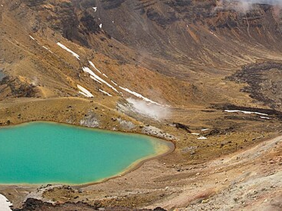
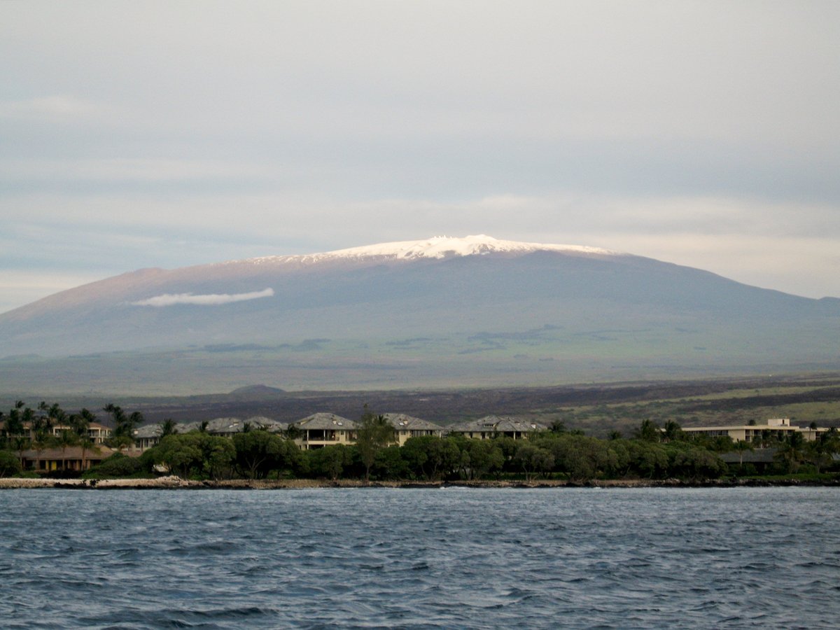
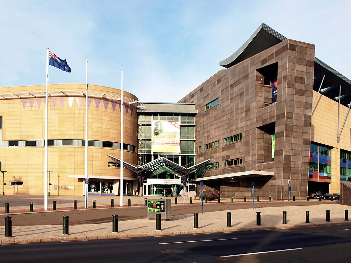
The closest landmarks in this library, by straight-line distance.
More natural wonders

Frequently asked questions
What is Bora Bora?
Bora Bora (French: Bora-Bora; Tahitian: Pora Pora) is a French island group in the Leeward Islands, comprising the western part of the Society Islands of French Polynesia, an.
Where is Bora Bora located?
Bora Bora is in Vaitape, French Polynesia. Its coordinates are 16.5010° S, 151.7400° W.
How do I get to Bora Bora?
The nearest town is Vaitape, and the nearest airport is Bora Bora Airport (BOB), about 3.9 miles away (straight line).
What is the history of Bora Bora?
The island was inhabited by Polynesian settlers around the 3rd century CE. The first European sighting was made by Jacob Roggeveen in 1722.
Sources
- https://en.wikipedia.org/wiki/Bora_Bora — Wikipedia article — overview, history and core facts (CC BY-SA).
- https://www.wikidata.org/wiki/Q183113 — Wikidata — built year, architect, height/size, visitors, official website (CC0).
- https://github.com/jbrooksuk/JSON-Airports — Nearest major airport computed from landmark and airport coordinates (haversine); airport list: jbrooksuk/JSON-Airports.
Page last updated 13 November 2026.