
Natural Wonder · Jørpeland, Norway
Preikestolen
A steep cliff rising 604 metres above Lysefjorden, with an almost flat top.

Photo: Svein-Magne Tunli via Wikimedia Commons, CC BY-SA 3.0. Cropped and resized for display.
Landmark facts
| Location | Jørpeland, Norway |
|---|---|
| Type | Natural Wonder |
| Elevation | Elevation: 604 m |
| Coordinates | 58.9867° N, 6.1875° E |
Every fact above is taken from the sources listed below; anything no source states is left blank rather than guessed.
What Preikestolen is known for
A steep cliff rising 604 metres above Lysefjorden, with an almost flat top.
About Preikestolen
Preikestolen or Prekestolen is a tourist attraction in Strand Municipality in Rogaland county, Norway. Preikestolen is a steep cliff which rises 604 metres above Lysefjorden. Atop the cliff, there is an almost flat top of approximately 25 by 25 metres. Preikestolen is located near the western part of the fjord, and on its north side.
How to get there
| Nearest town | Jørpeland |
|---|---|
| Nearest airport | Stavanger Airport, Sola (SVG) |
| Distance from the airport | 21.2 miles (straight line) |
Nearest major airport by straight-line distance from the landmark's coordinates; road distance will be longer.
Airports near this landmark
The airports a visitor would actually fly into, nearest first — each link opens its profile on our sister site AirportProfiles.
- Stavanger Airport, Sola (SVG) · Stavanger, Norway · 21.0 miles away
- Kristiansand Airport (KRS) · Kristiansand(Kjevik), Norway · 87.1 miles away
- Bergen Airport, Flesland (BGO) · Bergen, Norway · 96.4 miles away
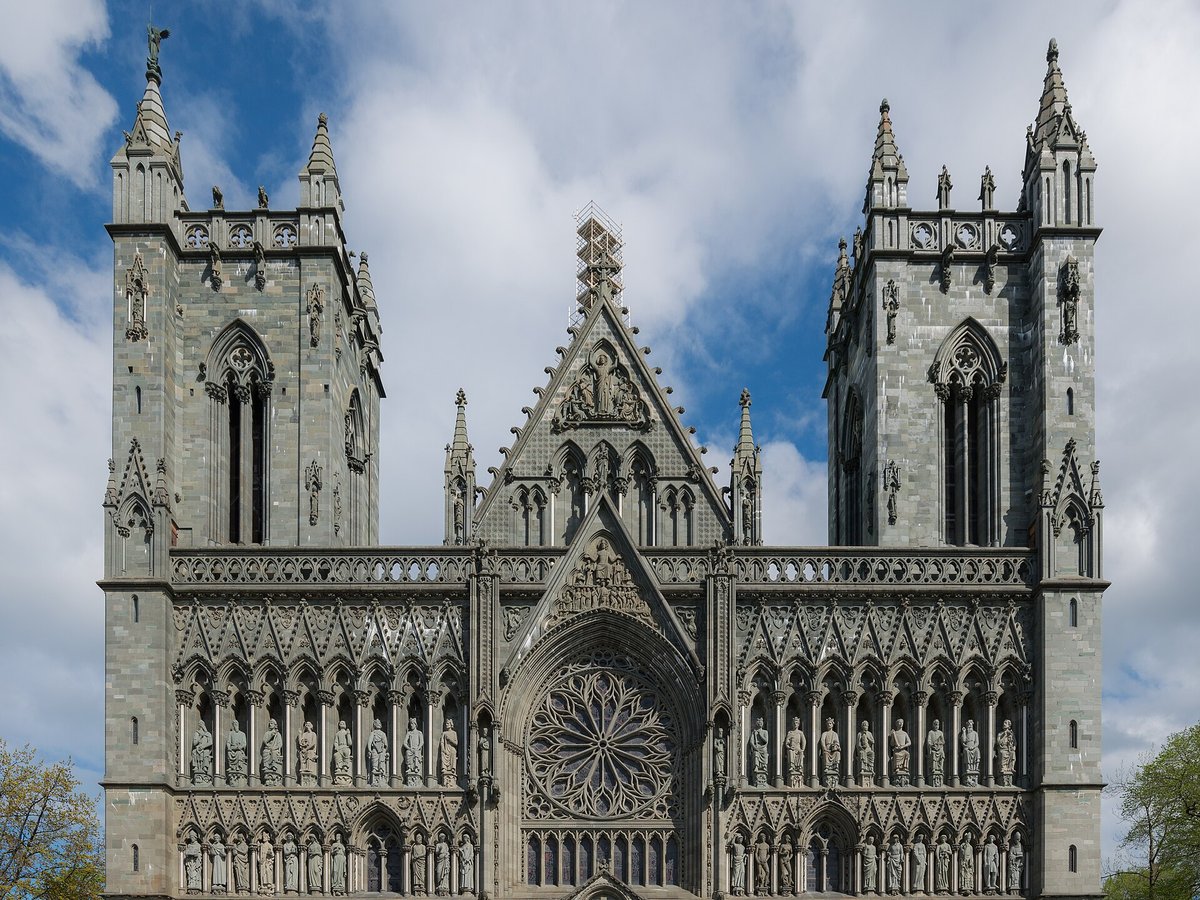
Landmarks nearby
The closest landmarks in this library, by straight-line distance.

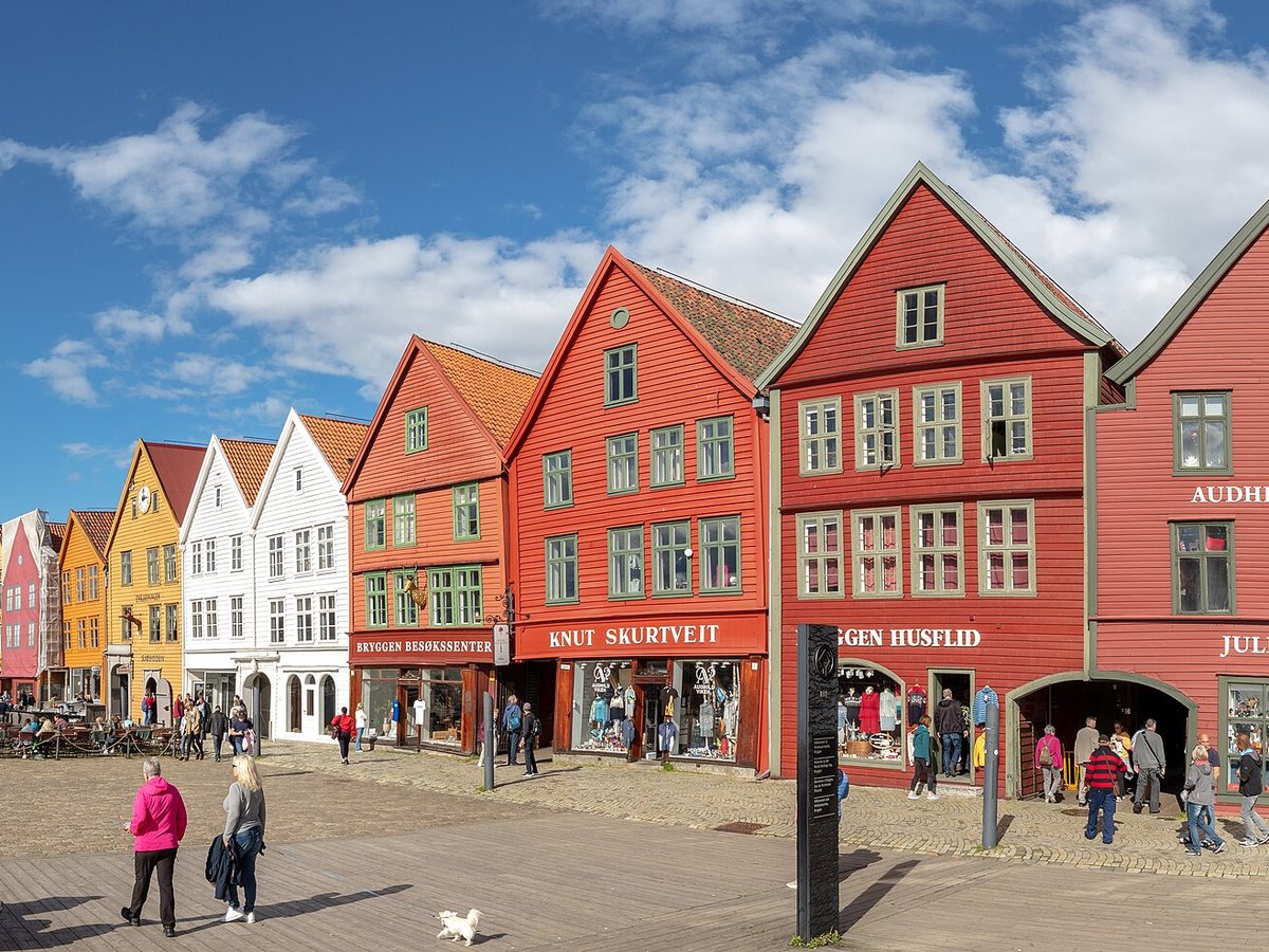




More landmarks in Norway
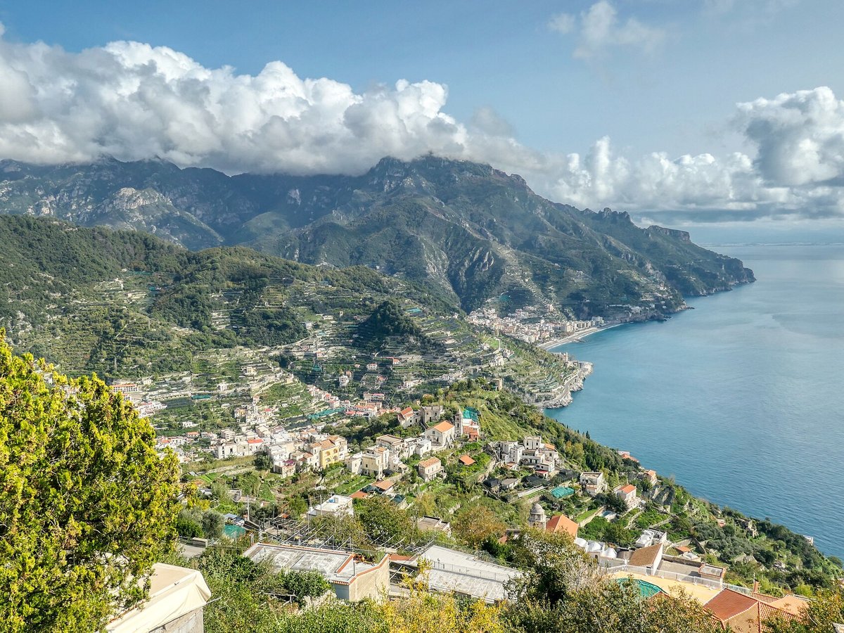
More natural wonders



Frequently asked questions
What is Preikestolen?
A steep cliff rising 604 metres above Lysefjorden, with an almost flat top.
Where is Preikestolen located?
Preikestolen is in Jørpeland, Norway. Its coordinates are 58.9867° N, 6.1875° E.
How do I get to Preikestolen?
The nearest town is Jørpeland, and the nearest airport is Stavanger Airport, Sola (SVG), about 21.2 miles away (straight line).
Sources
- https://en.wikipedia.org/wiki/Preikestolen — Wikipedia article — overview, history and core facts (CC BY-SA).
- https://www.wikidata.org/wiki/Q746223 — Wikidata — built year, architect, height/size, visitors, official website (CC0).
- https://github.com/jbrooksuk/JSON-Airports — Nearest major airport computed from landmark and airport coordinates (haversine); airport list: jbrooksuk/JSON-Airports.
Page last updated 13 November 2026.