
Natural Wonder · Lukla, Nepal
Mount Everest
The highest mountain on Earth above sea level.
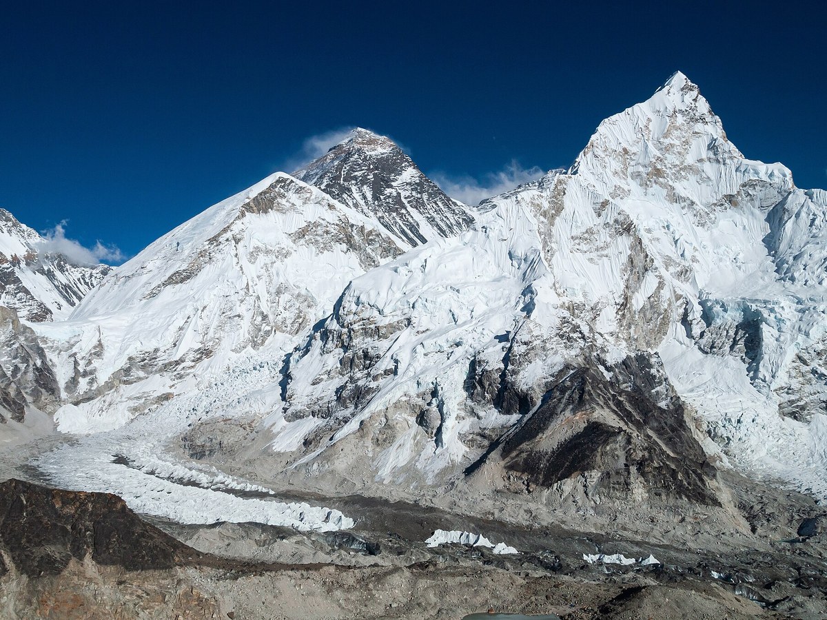
Photo: Vyacheslav Argenberg via Wikimedia Commons, CC BY 4.0. Cropped and resized for display.
Landmark facts
| Location | Lukla, Nepal |
|---|---|
| Type | Natural Wonder |
| Elevation | Elevation: 8,848.86 m |
| Coordinates | 27.9883° N, 86.9253° E |
Every fact above is taken from the sources listed below; anything no source states is left blank rather than guessed.
What Mount Everest is known for
The highest mountain on Earth above sea level.
About Mount Everest
Mount Everest is the highest mountain on Earth above sea level. It lies in the Mahalangur Himal sub-range of the Himalayas and marks part of the China-Nepal border at its summit. Its height was most recently measured in 2020 through a joint survey by Nepalese and Chinese authorities as 8,848.86 m. There are two main climbing routes, one approaching the summit from the southeast in Nepal and the other from the north in China.
How to get there
| Nearest town | Lukla |
|---|---|
| Nearest airport | Tribhuvan International Airport (KTM) |
| Distance from the airport | 97.9 miles (straight line) |
Nearest major airport by straight-line distance from the landmark's coordinates; road distance will be longer.
Airports near this landmark
The airports a visitor would actually fly into, nearest first — each link opens its profile on our sister site AirportProfiles.
- Tribhuvan International Airport (KTM) · Kathmandu, Nepal · 97.8 miles away
- Bagdogra Airport (IXB) · Siliguri, India · 124.8 miles away
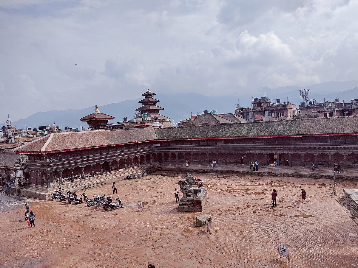
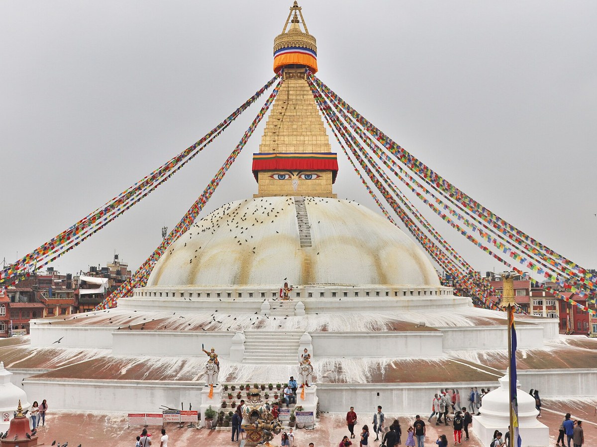
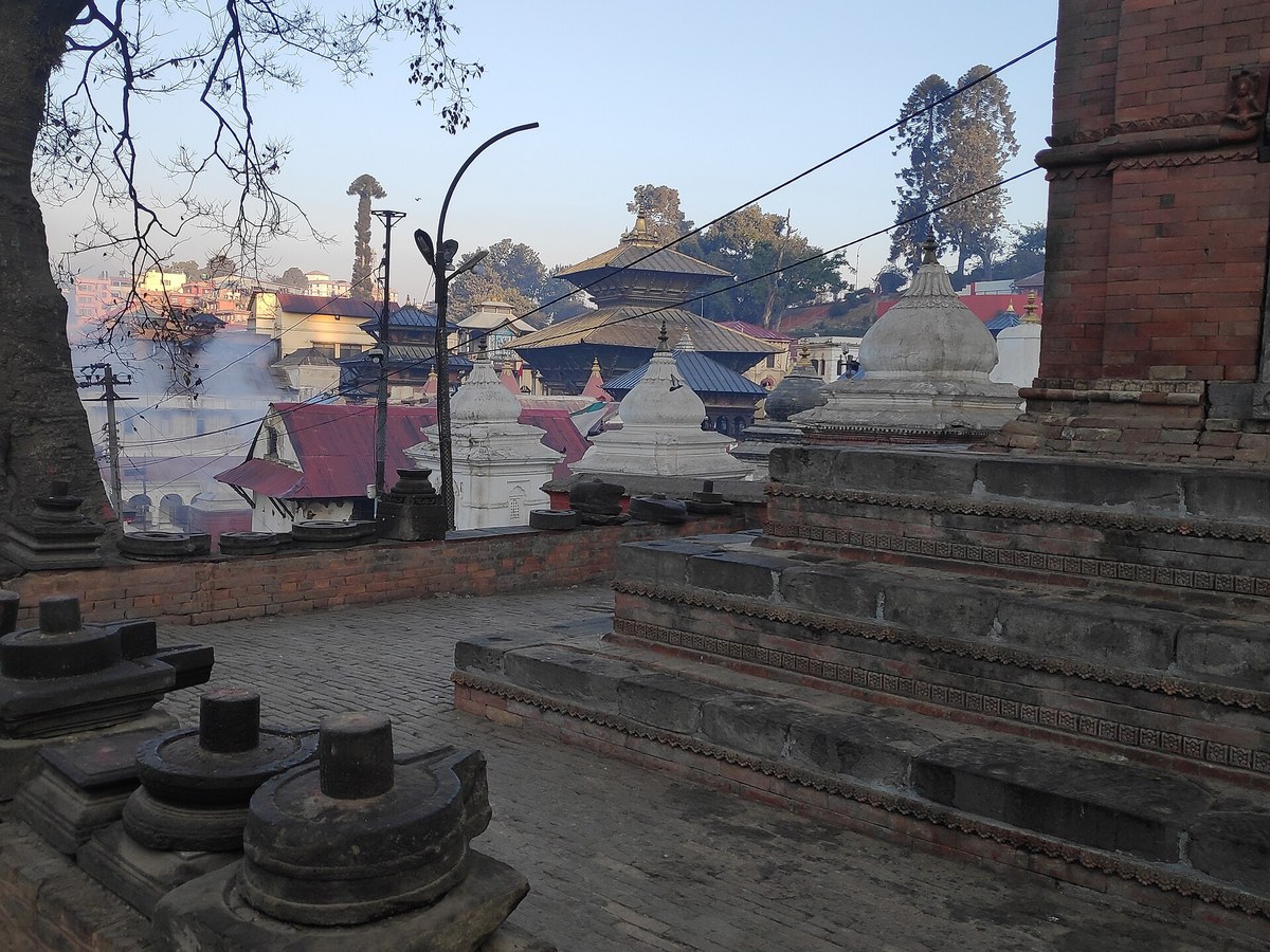
Landmarks nearby
The closest landmarks in this library, by straight-line distance.
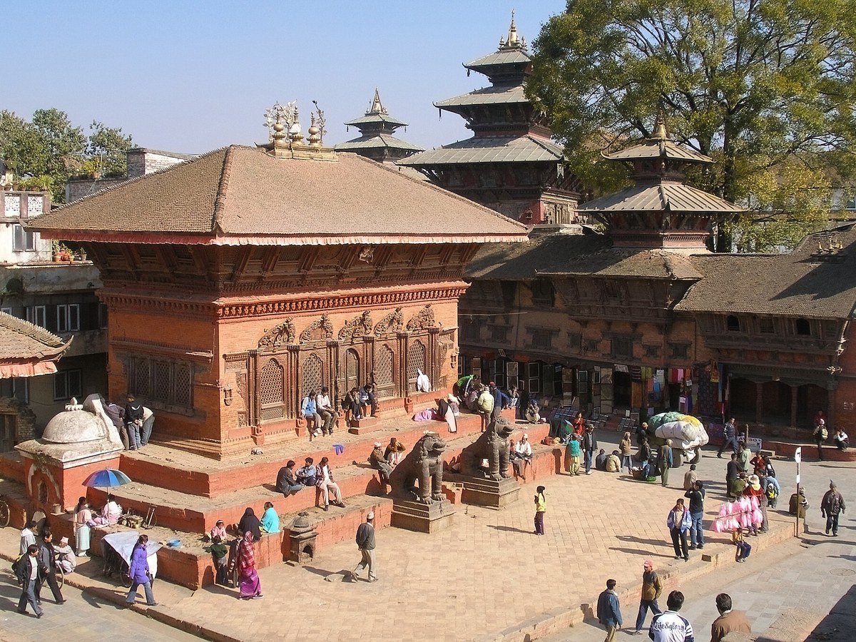
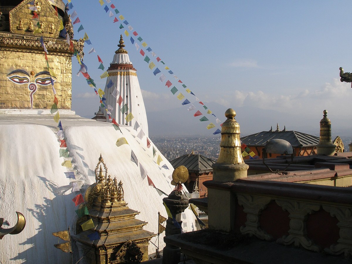
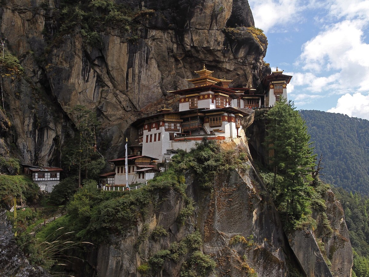
More landmarks in Nepal
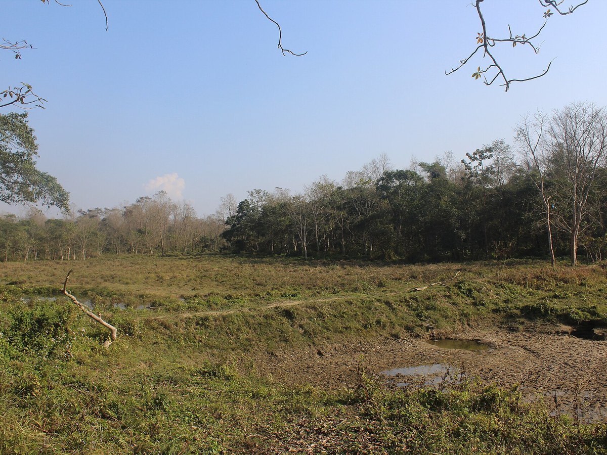
More natural wonders

Frequently asked questions
What is Mount Everest?
The highest mountain on Earth above sea level.
Where is Mount Everest located?
Mount Everest is in Lukla, Nepal. Its coordinates are 27.9883° N, 86.9253° E.
How do I get to Mount Everest?
The nearest town is Lukla, and the nearest airport is Tribhuvan International Airport (KTM), about 97.9 miles away (straight line).
Sources
- https://en.wikipedia.org/wiki/Mount_Everest — Wikipedia article — overview, history and core facts (CC BY-SA).
- https://www.wikidata.org/wiki/Q513 — Wikidata — built year, architect, height/size, visitors, official website (CC0).
- https://github.com/jbrooksuk/JSON-Airports — Nearest major airport computed from landmark and airport coordinates (haversine); airport list: jbrooksuk/JSON-Airports.
Page last updated 13 November 2026.