
Temple · Khajuraho, India
Khajuraho Temples
The Khajuraho Group of Monuments are a group of Hindu and Digambara Jain temples in Chhatarpur district, Madhya Pradesh, India.
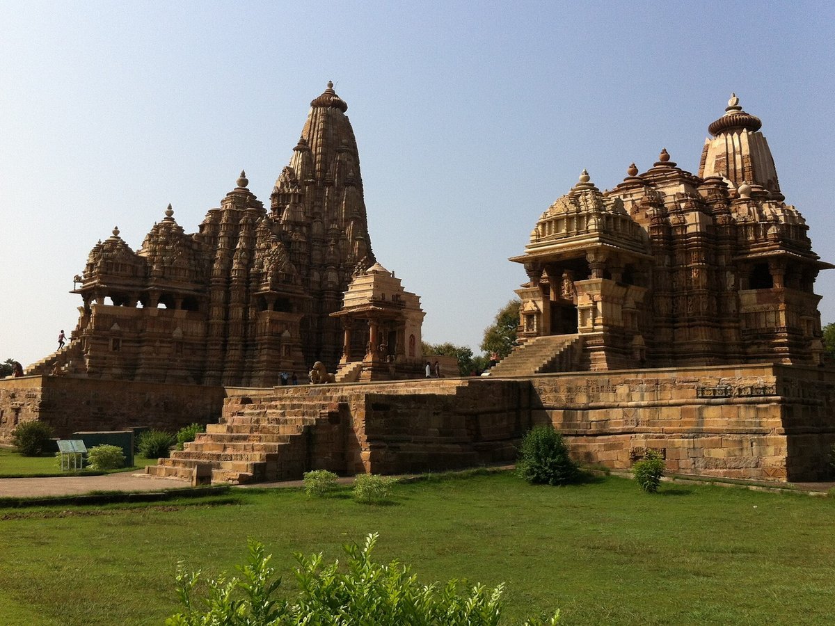
Photo: PLBechly via Wikimedia Commons, CC BY-SA 4.0. Cropped and resized for display.
Landmark facts
| Location | Khajuraho, India |
|---|---|
| Type | Temple |
| Coordinates | 24.8544° N, 79.9214° E |
Every fact above is taken from the sources listed below; anything no source states is left blank rather than guessed.
What Khajuraho Temples is known for
The Khajuraho Group of Monuments are a group of Hindu and Digambara Jain temples in Chhatarpur district, Madhya Pradesh, India.
About Khajuraho Temples
The Khajuraho Group of Monuments are a group of Hindu and Digambara Jain temples in Chhatarpur district, Madhya Pradesh, India. They are about 46 km (28.6 mi) from Chhatarpur city, the district headquarters, 283 km (177 mi) from Gwalior, 175 kilometres (109 mi) southeast of Jhansi, 10 kilometres (6.2 mi) from Khajwa and 9 kilometres (5.6 mi) from Rajnagar. The temples are famous for their Nagara-style architectural symbolism and a few erotic sculptures.
History
The Khajuraho group of monuments was built during the rule of the Chandela dynasty. The building activity started almost immediately after the rise of their power, throughout their kingdom to be later known as Bundelkhand. Most temples were built during the reigns of the Hindu kings Yashovarman and Dhanga.
Planning a visit? Visit the official Khajuraho Temples website — the official site has the current visiting information.
How to get there
| Nearest town | Khajuraho |
|---|---|
| Nearest airport | Khajuraho Airport (HJR) |
| Distance from the airport | 2.5 miles (straight line) |
Nearest major airport by straight-line distance from the landmark’s coordinates; road distance will be longer.
Airports near this landmark
The airports a visitor would actually fly into, nearest first — each link opens its profile on our sister site AirportProfiles.
- Chaudhary Charan Singh International Airport (LKO) · Lucknow, India · 144.8 miles away
Landmarks nearby
The closest landmarks in this library, by straight-line distance.
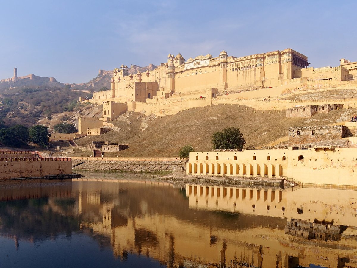
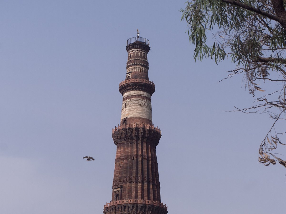
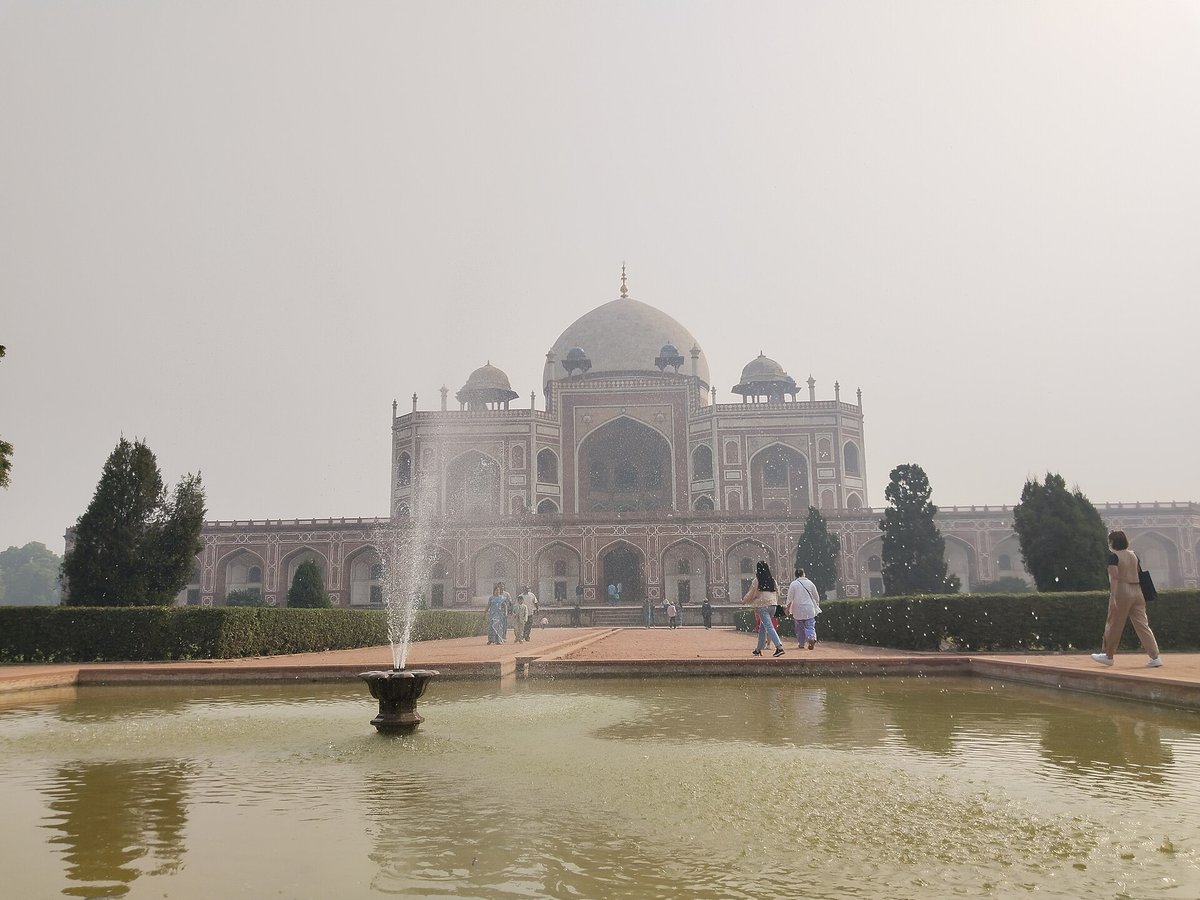
More landmarks in India

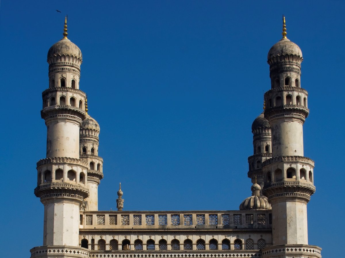
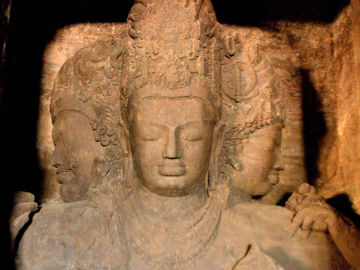
More temples
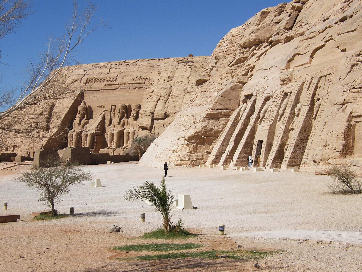
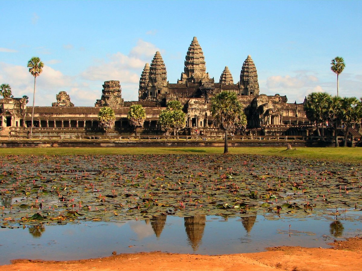
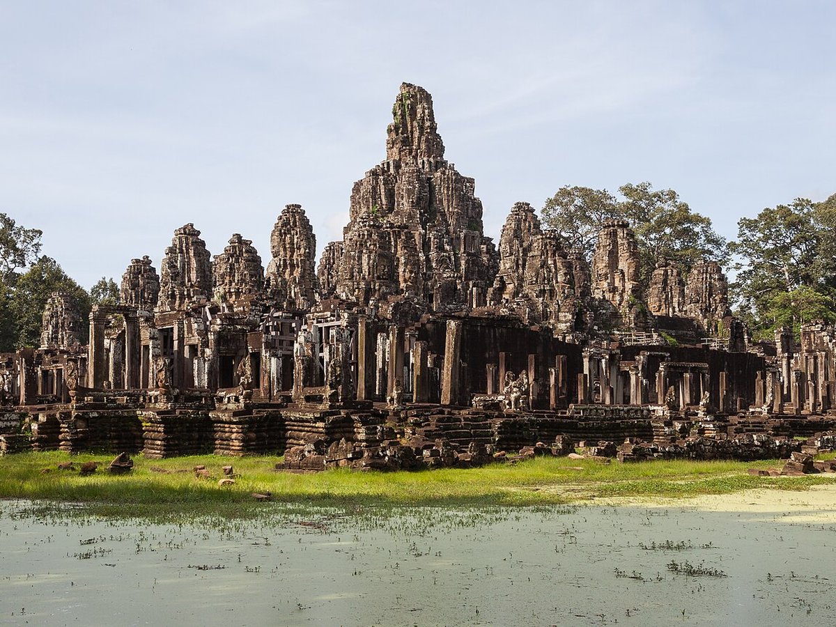


Frequently asked questions
What is Khajuraho Temples?
The Khajuraho Group of Monuments are a group of Hindu and Digambara Jain temples in Chhatarpur district, Madhya Pradesh, India.
Where is Khajuraho Temples located?
Khajuraho Temples is in Khajuraho, India. Its coordinates are 24.8544° N, 79.9214° E.
How do I get to Khajuraho Temples?
The nearest town is Khajuraho, and the nearest airport is Khajuraho Airport (HJR), about 2.5 miles away (straight line).
What is the history of Khajuraho Temples?
The Khajuraho group of monuments was built during the rule of the Chandela dynasty. The building activity started almost immediately after the rise of their power, throughout their kingdom to be later known as Bundelkhand.
Sources
- https://en.wikipedia.org/wiki/Khajuraho_Group_of_Monuments — Wikipedia article — overview, history and core facts (CC BY-SA).
- https://www.wikidata.org/wiki/Q167298 — Wikidata — built year, architect, height/size, visitors, official website (CC0).
- https://whc.unesco.org/en/list/240/ — Official website of the landmark / managing body.
- https://github.com/jbrooksuk/JSON-Airports — Nearest major airport computed from landmark and airport coordinates (haversine); airport list: jbrooksuk/JSON-Airports.
Page last updated 13 November 2026.