
Castle · Cairo, Egypt
Citadel of Saladin, Cairo
The Citadel of Cairo or Citadel of Saladin (Arabic: قلعة صلاح الدين, romanized: Qalaʿat Salāḥ ad-Dīn) is a medieval Islamic-era fortification in Cairo, Egypt. Built 1176–1183.
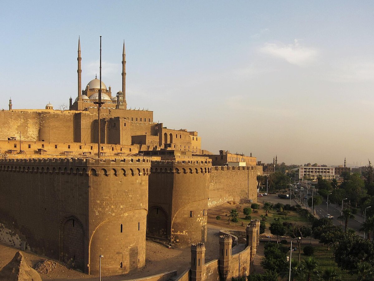
Photo: Ahmed Al.Badawy from Cairo, Egypt via Wikimedia Commons, CC BY-SA 2.0. Cropped and resized for display.
Landmark facts
| Location | Cairo, Egypt |
|---|---|
| Type | Castle |
| Built | 1176–1183 |
| Coordinates | 30.0294° N, 31.2614° E |
Every fact above is taken from the sources listed below; anything no source states is left blank rather than guessed.
What Citadel of Saladin, Cairo is known for
The Citadel of Cairo or Citadel of Saladin (Arabic: قلعة صلاح الدين, romanized: Qalaʿat Salāḥ ad-Dīn) is a medieval Islamic-era fortification in Cairo, Egypt.
About Citadel of Saladin, Cairo
The Citadel of Cairo or Citadel of Saladin (Arabic: قلعة صلاح الدين, romanized: Qalaʿat Salāḥ ad-Dīn) is a medieval Islamic-era fortification in Cairo, Egypt. Its construction was begun by Salah ad-Din al-Ayubi (Saladin) in 1176 and continued by subsequent Egyptian rulers. It was the seat of government in Egypt and the residence of its rulers for nearly 700 years from the 13th century until the construction of Abdeen Palace in the 19th century.
History
The Citadel was built on a promontory beneath the Muqattam Hills, a setting that made it difficult to attack. The efficacy of the Citadel's location is further demonstrated by the fact that it remained the heart of Egyptian government until the 19th century. During this long period, the layout and structure of the Citadel was repeatedly altered and adapted to suit the designs of new rulers and new regimes, which makes it difficult to reconstitute its original plan or even its plan in subsequent periods.
How to get there
| Nearest town | Cairo |
|---|---|
| Nearest airport | Cairo International Airport (CAI) |
| Distance from the airport | 10.7 miles (straight line) |
Nearest major airport by straight-line distance from the landmark’s coordinates; road distance will be longer.
Airports near this landmark
The airports a visitor would actually fly into, nearest first — each link opens its profile on our sister site AirportProfiles.
- Cairo International Airport (CAI) · Cairo, Egypt · 9.9 miles away
- Sphinx International Airport (SPX) · Al Jiza, Egypt · 22.5 miles away
- Port Said International Airport (PSD) · Port Said, Egypt · 104.1 miles away
Landmarks nearby
The closest landmarks in this library, by straight-line distance.
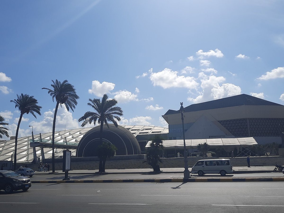
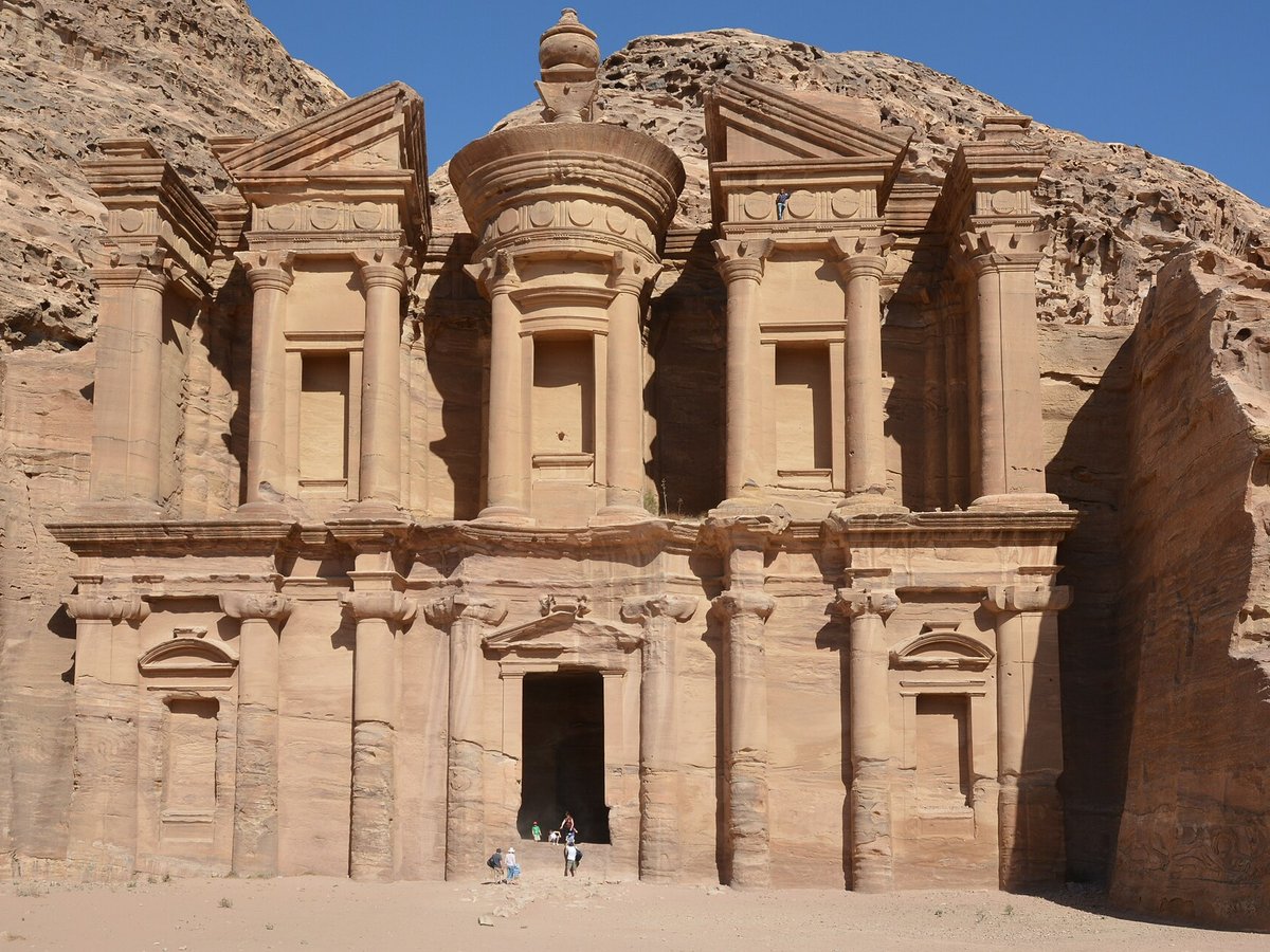
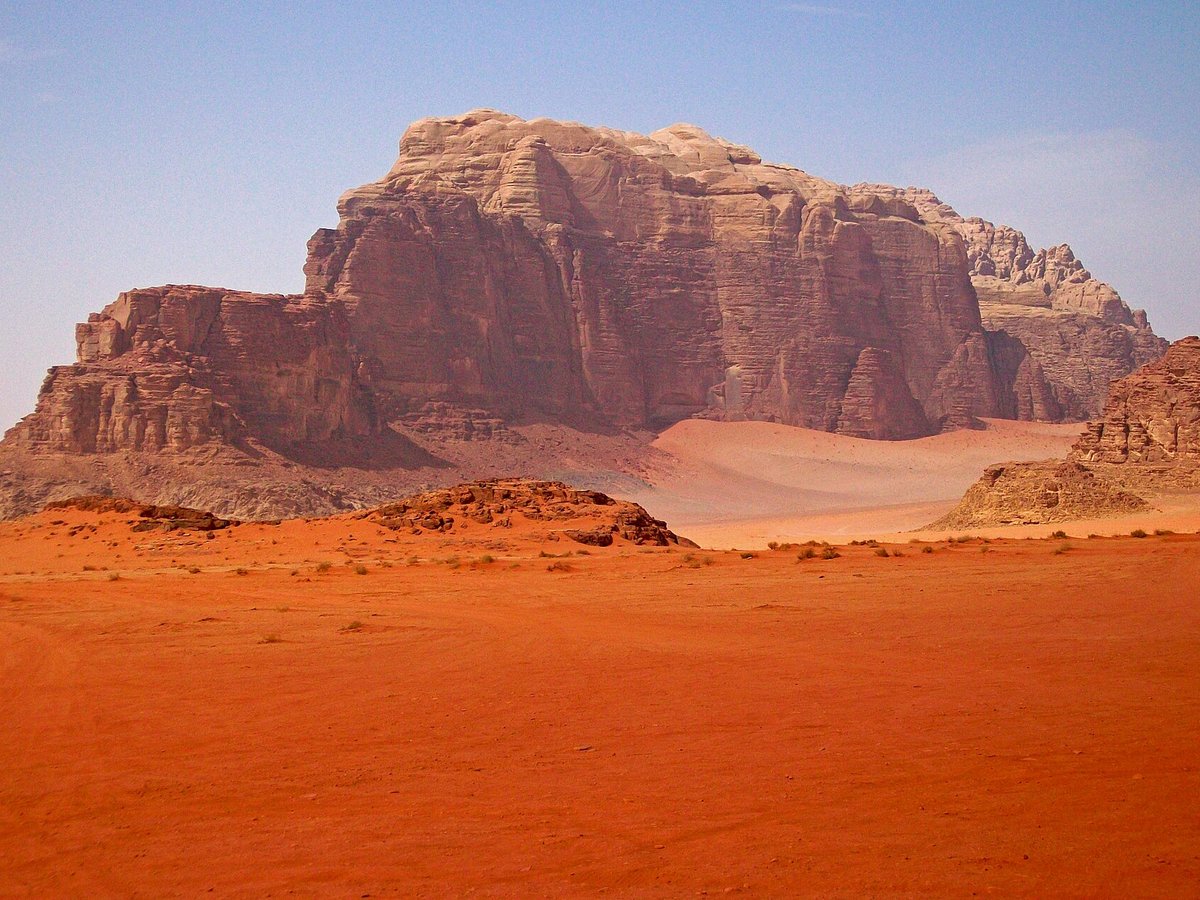
More landmarks in Egypt
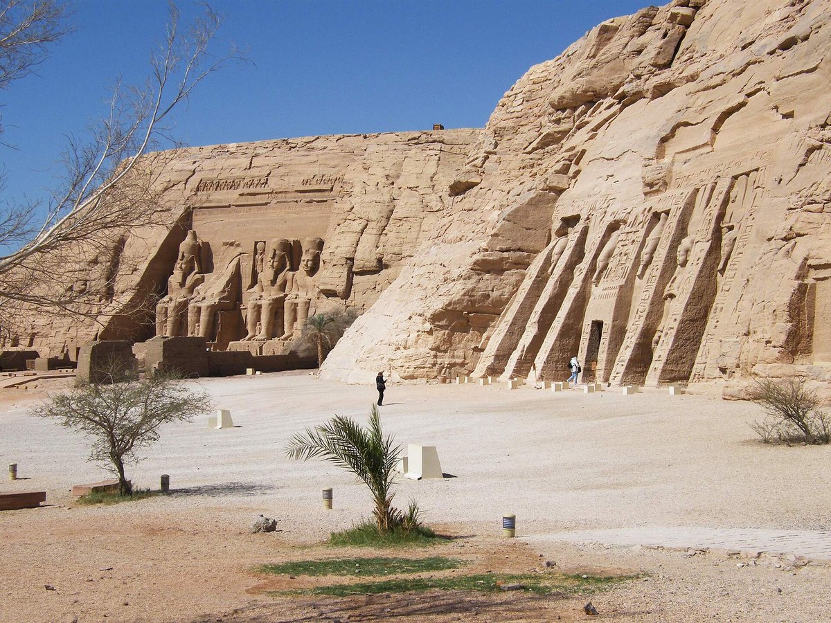
More castles

Frequently asked questions
What is Citadel of Saladin, Cairo?
The Citadel of Cairo or Citadel of Saladin (Arabic: قلعة صلاح الدين, romanized: Qalaʿat Salāḥ ad-Dīn) is a medieval Islamic-era fortification in Cairo, Egypt.
Where is Citadel of Saladin, Cairo located?
Citadel of Saladin, Cairo is in Cairo, Egypt. Its coordinates are 30.0294° N, 31.2614° E.
How do I get to Citadel of Saladin, Cairo?
The nearest town is Cairo, and the nearest airport is Cairo International Airport (CAI), about 10.7 miles away (straight line).
When was Citadel of Saladin, Cairo built?
Citadel of Saladin, Cairo was built 1176–1183.
Sources
- https://en.wikipedia.org/wiki/Cairo_Citadel — Wikipedia article — overview, history and core facts (CC BY-SA).
- https://www.wikidata.org/wiki/Q1988240 — Wikidata — built year, architect, height/size, visitors, official website (CC0).
- https://github.com/jbrooksuk/JSON-Airports — Nearest major airport computed from landmark and airport coordinates (haversine); airport list: jbrooksuk/JSON-Airports.
Page last updated 13 November 2026.